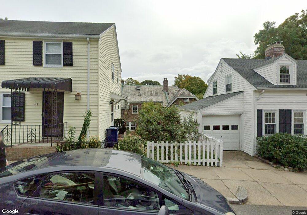
64 Southbourne Rd Jamaica Plain, MA 02130
Jamaica Plain NeighborhoodEstimated Value: $717,000 - $802,000
4
Beds
2
Baths
1,285
Sq Ft
$595/Sq Ft
Est. Value
About This Home
This home is located at 64 Southbourne Rd, Jamaica Plain, MA 02130 and is currently estimated at $764,797, approximately $595 per square foot. 64 Southbourne Rd is a home located in Suffolk County with nearby schools including Brooke Charter School Roslindale, The Croft School - Jamaica Plain, and St. Clare High School.
Ownership History
Date
Name
Owned For
Owner Type
Purchase Details
Closed on
Aug 25, 2004
Sold by
Sullivan Robert D and Sullivan Joan M
Bought by
Drenkard Eliana and Saal Alberto E
Current Estimated Value
Home Financials for this Owner
Home Financials are based on the most recent Mortgage that was taken out on this home.
Original Mortgage
$333,700
Interest Rate
6.02%
Mortgage Type
Purchase Money Mortgage
Create a Home Valuation Report for This Property
The Home Valuation Report is an in-depth analysis detailing your home's value as well as a comparison with similar homes in the area
Home Values in the Area
Average Home Value in this Area
Purchase History
| Date | Buyer | Sale Price | Title Company |
|---|---|---|---|
| Drenkard Eliana | $435,000 | -- |
Source: Public Records
Mortgage History
| Date | Status | Borrower | Loan Amount |
|---|---|---|---|
| Open | Drenkard Eliana | $324,666 | |
| Closed | Drenkard Eliana | $333,700 |
Source: Public Records
Tax History Compared to Growth
Tax History
| Year | Tax Paid | Tax Assessment Tax Assessment Total Assessment is a certain percentage of the fair market value that is determined by local assessors to be the total taxable value of land and additions on the property. | Land | Improvement |
|---|---|---|---|---|
| 2025 | $8,846 | $763,900 | $159,500 | $604,400 |
| 2024 | $7,423 | $681,000 | $157,000 | $524,000 |
| 2023 | $6,833 | $636,200 | $146,700 | $489,500 |
| 2022 | $6,348 | $583,500 | $134,500 | $449,000 |
| 2021 | $6,045 | $566,500 | $130,600 | $435,900 |
| 2020 | $5,775 | $546,900 | $127,700 | $419,200 |
| 2019 | $5,489 | $520,800 | $105,000 | $415,800 |
| 2018 | $4,872 | $464,900 | $105,000 | $359,900 |
| 2017 | $4,829 | $456,000 | $105,000 | $351,000 |
| 2016 | $4,917 | $447,000 | $105,000 | $342,000 |
| 2015 | $5,079 | $419,400 | $100,500 | $318,900 |
| 2014 | $4,621 | $367,300 | $100,500 | $266,800 |
Source: Public Records
Map
Nearby Homes
- 50 Southbourne Rd
- 18-20 Northbourne Rd Unit 18
- 31 Rodman St Unit 2
- 31 Rodman St Unit 1
- 348-350 Hyde Park Ave Unit 2
- 158 Wachusett St Unit 3
- 140 Wachusett St
- 71 Wyvern St
- 24 Waterman Rd
- 178 Hyde Park Ave Unit 3
- 36 Neponset Ave Unit 1
- 19 Delford St
- 19 Delford St Unit 1
- 105 Neponset Ave Unit 105
- 4012 Washington St
- 103 Neponset Ave Unit 103A
- 103-105 Neponset Ave
- 143-171 Hyde Park Ave Unit 169A
- 4031 Washington St
- 187 Florence St Unit 2L
- 66 Southbourne Rd
- 66 Southbourne Rd Unit 66
- 62 Southbourne Rd
- 60 Southbourne Rd
- 68 Southbourne Rd
- 68 Southbourne Rd Unit 9999
- 70 Southbourne Rd
- 23 Bournedale Rd
- 19 Bournedale Rd
- 58 Southbourne Rd
- 27 Bournedale Rd
- 72 Southbourne Rd
- 56 Southbourne Rd
- 74 Southbourne Rd
- 33 Bournedale Rd
- 9 Bournedale Rd
- 24 Bournedale Rd
- 26 Bournedale Rd
- 44 Southbourne Rd
- 44 Southbourne Rd