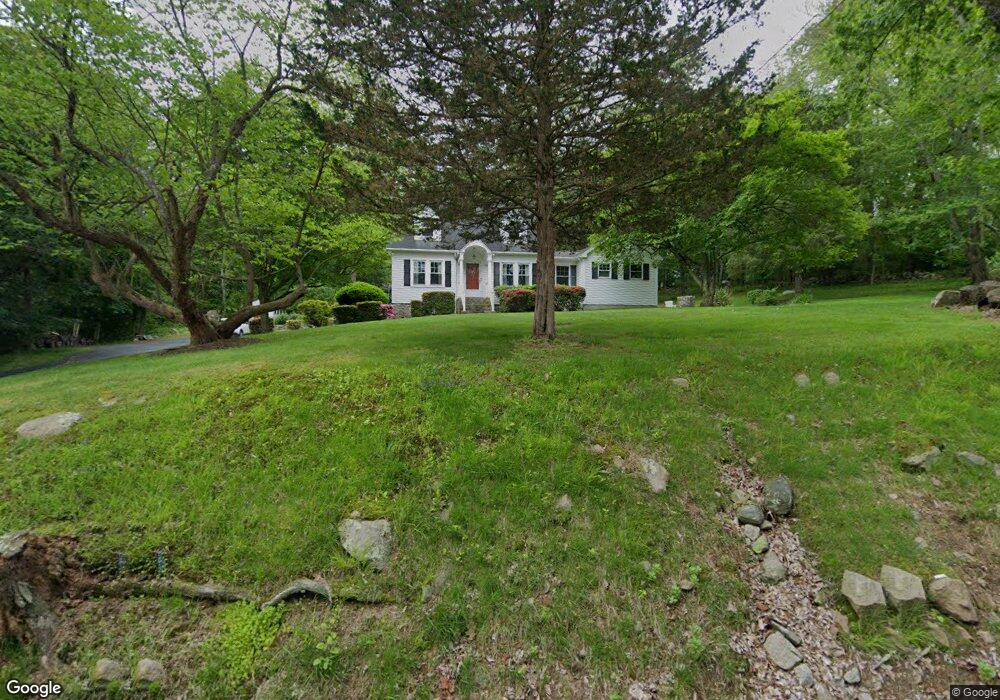
64 Stonybrook Rd Gales Ferry, CT 06335
Estimated Value: $404,844 - $455,000
4
Beds
3
Baths
1,638
Sq Ft
$260/Sq Ft
Est. Value
About This Home
This home is located at 64 Stonybrook Rd, Gales Ferry, CT 06335 and is currently estimated at $425,711, approximately $259 per square foot. 64 Stonybrook Rd is a home located in New London County with nearby schools including Ledyard Middle School, Ledyard High School, and Integrated Day Charter School.
Ownership History
Date
Name
Owned For
Owner Type
Purchase Details
Closed on
Oct 24, 2017
Sold by
Craig Howard J
Bought by
Craig Howard J and Craig Julie A
Current Estimated Value
Purchase Details
Closed on
Aug 8, 2001
Sold by
Abbott Anne A
Bought by
Craig Howard J
Home Financials for this Owner
Home Financials are based on the most recent Mortgage that was taken out on this home.
Original Mortgage
$157,950
Interest Rate
7.1%
Create a Home Valuation Report for This Property
The Home Valuation Report is an in-depth analysis detailing your home's value as well as a comparison with similar homes in the area
Home Values in the Area
Average Home Value in this Area
Purchase History
| Date | Buyer | Sale Price | Title Company |
|---|---|---|---|
| Craig Howard J | -- | -- | |
| Craig Howard J | $159,900 | -- |
Source: Public Records
Mortgage History
| Date | Status | Borrower | Loan Amount |
|---|---|---|---|
| Previous Owner | Craig Howard J | $65,000 | |
| Previous Owner | Craig Howard J | $225,000 | |
| Previous Owner | Craig Howard J | $160,261 | |
| Previous Owner | Craig Howard J | $157,950 |
Source: Public Records
Tax History Compared to Growth
Tax History
| Year | Tax Paid | Tax Assessment Tax Assessment Total Assessment is a certain percentage of the fair market value that is determined by local assessors to be the total taxable value of land and additions on the property. | Land | Improvement |
|---|---|---|---|---|
| 2025 | $7,100 | $191,170 | $64,400 | $126,770 |
| 2024 | $6,711 | $190,610 | $64,400 | $126,210 |
| 2023 | $6,587 | $190,610 | $64,400 | $126,210 |
| 2022 | $6,446 | $190,610 | $64,400 | $126,210 |
| 2021 | $6,404 | $190,610 | $64,400 | $126,210 |
| 2020 | $6,242 | $178,500 | $72,870 | $105,630 |
| 2019 | $6,258 | $178,500 | $72,870 | $105,630 |
| 2018 | $6,121 | $178,500 | $72,870 | $105,630 |
| 2017 | $5,808 | $178,500 | $72,870 | $105,630 |
| 2016 | $5,694 | $178,500 | $72,870 | $105,630 |
| 2015 | $5,426 | $178,500 | $72,870 | $105,630 |
| 2014 | $5,247 | $174,090 | $61,600 | $112,490 |
Source: Public Records
Map
Nearby Homes
- 5 Bittersweet Dr
- 50 N Glenwoods Rd
- 15 Drawbridge Rd
- 3 Holdsworth Rd
- 16 Marlene Dr
- 0 Clarks Falls Unit 24089817
- 11 Willow Ln
- 123A Whalehead Rd
- 7 Barn Rd
- 5 Arrowhead Dr
- 178 Route 2a
- 65 Dydo Dr
- 131 Derry Hill Rd
- 7 Briarwood Ct
- 104 Route 2a
- 6 Route 117
- 2 Garden Ct
- 165 Massapeag Rd
- 59 Harris Fuller Rd
- 87 Fort Shantok Rd
- 60 Stonybrook Rd
- 66 Stonybrook Rd
- 63 Stonybrook Rd
- 65 Stonybrook Rd
- 11 Brewster Dr
- 56 Stonybrook Rd
- 15 Brewster Dr
- 70 Stonybrook Rd
- 1949 Route 12
- 17 Brewster Dr
- 54 Stonybrook Rd
- 9 Brewster Dr
- 11 Bittersweet Dr
- 2 Tanager Ln
- 1951 Route 12
- 73 Stonybrook Rd
- 9 Bittersweet Dr
- 1947 Route 12
- 52 Stonybrook Rd
- 7 Brewster Dr