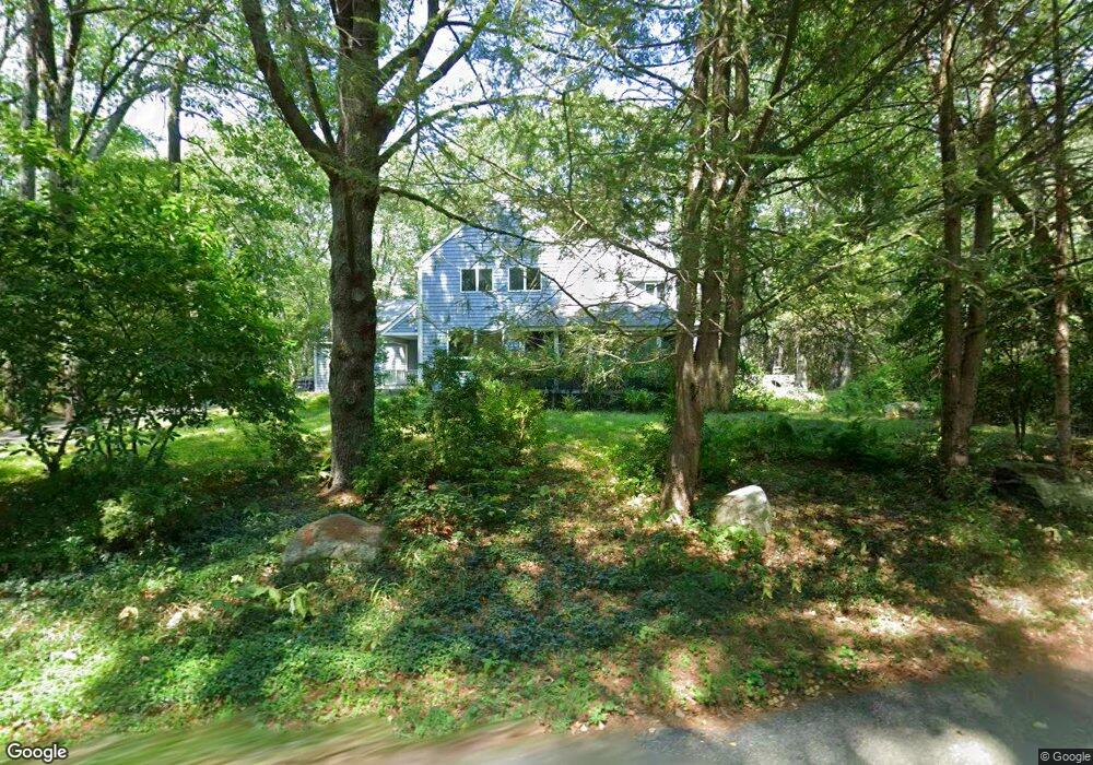
64 Suffolk Ln Carlisle, MA 01741
Estimated Value: $1,257,035 - $1,484,000
4
Beds
3
Baths
3,174
Sq Ft
$426/Sq Ft
Est. Value
About This Home
This home is located at 64 Suffolk Ln, Carlisle, MA 01741 and is currently estimated at $1,351,009, approximately $425 per square foot. 64 Suffolk Ln is a home located in Middlesex County with nearby schools including Carlisle School, Concord Carlisle High School, and The Fenn School.
Ownership History
Date
Name
Owned For
Owner Type
Purchase Details
Closed on
Nov 10, 2003
Sold by
Bryan Janet C and Bryan Jeffrey L
Bought by
Lathrop Nathaniel G and Suntharalingam Vyshnavi
Current Estimated Value
Purchase Details
Closed on
Jun 18, 1999
Sold by
Margolis Steven F and Margolis Rosemary
Bought by
Bryan Jeffrey L and Bryan Janet C
Purchase Details
Closed on
May 3, 1990
Sold by
Cheever David B
Bought by
Margolis Seven F
Create a Home Valuation Report for This Property
The Home Valuation Report is an in-depth analysis detailing your home's value as well as a comparison with similar homes in the area
Home Values in the Area
Average Home Value in this Area
Purchase History
| Date | Buyer | Sale Price | Title Company |
|---|---|---|---|
| Lathrop Nathaniel G | $840,000 | -- | |
| Bryan Jeffrey L | $560,000 | -- | |
| Margolis Seven F | $375,000 | -- |
Source: Public Records
Mortgage History
| Date | Status | Borrower | Loan Amount |
|---|---|---|---|
| Open | Margolis Seven F | $50,000 | |
| Open | Margolis Seven F | $465,750 |
Source: Public Records
Tax History
| Year | Tax Paid | Tax Assessment Tax Assessment Total Assessment is a certain percentage of the fair market value that is determined by local assessors to be the total taxable value of land and additions on the property. | Land | Improvement |
|---|---|---|---|---|
| 2025 | $15,149 | $1,149,400 | $591,600 | $557,800 |
| 2024 | $14,666 | $1,100,200 | $548,000 | $552,200 |
| 2023 | $13,950 | $985,900 | $525,000 | $460,900 |
| 2022 | $14,650 | $887,900 | $436,900 | $451,000 |
| 2021 | $14,455 | $887,900 | $436,900 | $451,000 |
| 2020 | $15,090 | $821,900 | $371,600 | $450,300 |
| 2019 | $14,872 | $813,100 | $371,600 | $441,500 |
| 2018 | $13,927 | $766,500 | $371,600 | $394,900 |
| 2017 | $13,439 | $762,700 | $371,600 | $391,100 |
| 2016 | $13,118 | $762,700 | $371,600 | $391,100 |
| 2015 | $12,071 | $635,300 | $354,100 | $281,200 |
| 2014 | $11,842 | $635,300 | $354,100 | $281,200 |
Source: Public Records
Map
Nearby Homes
- 69 Long Ridge Rd
- 125 Maple St
- 389 River Rd
- 20 Flint Rd
- 210 Monument Farm Rd
- 84 Craigie Cir
- 373 E Riding Dr
- 1437-3 Monument St
- 1409 Monument St
- 5 Lowell St Unit 5
- 237 Davis Rd
- 6 Edgehill Rd
- 1 Hillcrest Rd
- 43 Outlook Rd
- 1 Glenridge Dr
- 9 Kay's Walk
- 21 Woodside Rd
- 14 Kay's Walk
- 495 Hugh Cargill Rd
- 82 Chestnut Ln
Your Personal Tour Guide
Ask me questions while you tour the home.