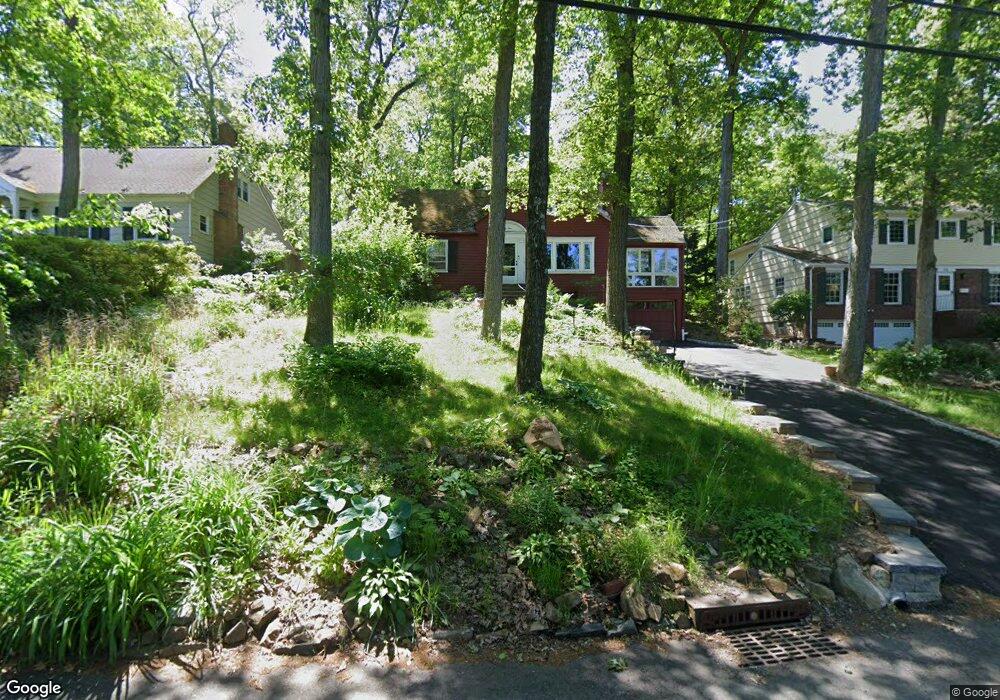
64 Tall Oaks Dr Summit, NJ 07901
Estimated Value: $689,000 - $1,158,000
--
Bed
--
Bath
1,382
Sq Ft
$665/Sq Ft
Est. Value
About This Home
This home is located at 64 Tall Oaks Dr, Summit, NJ 07901 and is currently estimated at $918,621, approximately $664 per square foot. 64 Tall Oaks Dr is a home located in Union County with nearby schools including New Providence High School, The Academy of Our Lady of Peace, and Oak Knoll School of the Holy Child.
Ownership History
Date
Name
Owned For
Owner Type
Purchase Details
Closed on
May 5, 2005
Sold by
O'Brien Elizabeth W
Bought by
Barnett Robert A and Sara Macdonald A
Current Estimated Value
Home Financials for this Owner
Home Financials are based on the most recent Mortgage that was taken out on this home.
Original Mortgage
$472,800
Outstanding Balance
$248,261
Interest Rate
5.95%
Estimated Equity
$670,360
Purchase Details
Closed on
Feb 22, 2001
Sold by
Ketchian Carol M
Bought by
Obrien Elizabeth W
Home Financials for this Owner
Home Financials are based on the most recent Mortgage that was taken out on this home.
Original Mortgage
$200,000
Interest Rate
6.87%
Mortgage Type
Stand Alone First
Purchase Details
Closed on
Aug 13, 1999
Sold by
Scharfenberger Michael A and Scharfenberger Bliss
Bought by
Ketchian Carol M
Home Financials for this Owner
Home Financials are based on the most recent Mortgage that was taken out on this home.
Original Mortgage
$324,000
Interest Rate
7%
Create a Home Valuation Report for This Property
The Home Valuation Report is an in-depth analysis detailing your home's value as well as a comparison with similar homes in the area
Home Values in the Area
Average Home Value in this Area
Purchase History
| Date | Buyer | Sale Price | Title Company |
|---|---|---|---|
| Barnett Robert A | $591,000 | -- | |
| Obrien Elizabeth W | $439,900 | -- | |
| Ketchian Carol M | $405,000 | -- |
Source: Public Records
Mortgage History
| Date | Status | Borrower | Loan Amount |
|---|---|---|---|
| Open | Barnett Robert A | $472,800 | |
| Previous Owner | Obrien Elizabeth W | $200,000 | |
| Previous Owner | Ketchian Carol M | $324,000 |
Source: Public Records
Tax History Compared to Growth
Tax History
| Year | Tax Paid | Tax Assessment Tax Assessment Total Assessment is a certain percentage of the fair market value that is determined by local assessors to be the total taxable value of land and additions on the property. | Land | Improvement |
|---|---|---|---|---|
| 2025 | $13,333 | $258,300 | $167,000 | $91,300 |
| 2024 | $12,933 | $258,300 | $167,000 | $91,300 |
| 2023 | $12,933 | $258,300 | $167,000 | $91,300 |
| 2022 | $12,755 | $258,300 | $167,000 | $91,300 |
| 2021 | $12,662 | $258,300 | $167,000 | $91,300 |
| 2020 | $12,657 | $258,300 | $167,000 | $91,300 |
| 2019 | $12,579 | $258,300 | $167,000 | $91,300 |
| 2018 | $12,515 | $258,300 | $167,000 | $91,300 |
| 2017 | $12,311 | $258,300 | $167,000 | $91,300 |
| 2016 | $12,138 | $258,300 | $167,000 | $91,300 |
| 2015 | $11,970 | $258,300 | $167,000 | $91,300 |
| 2014 | $11,789 | $258,300 | $167,000 | $91,300 |
Source: Public Records
Map
Nearby Homes
- 106 Stoneridge Rd
- 6 Joanna Way
- 72 Central Ave
- 140 Countryside Dr
- 54 Badgley Dr
- 34 Sweetbriar Rd
- 183 Countryside Dr
- 34 Grant Ave
- 52 Greenwood Rd
- 294 Livingston Ave
- 17 Valley View Ave
- 19 Division Ave
- 50 Livingston Ave
- 32 Marion Ave
- 282 South St
- 16 Riverbend Ct
- 149 Ashland Rd
- 67 Laurel Dr
- 709 Springfield Ave Unit 4
- 709 Springfield Ave Unit 3
- 58 Tall Oaks Dr
- 70 Tall Oaks Dr
- 63 Tall Oaks Dr
- 54 Tall Oaks Dr
- 15 Kendrick Rd
- 53 Tall Oaks Dr
- 48 Tall Oaks Dr
- 17 Kendrick Rd
- 74 Tall Oaks Dr
- 47 Tall Oaks Dr
- 15 Acorn Dr
- 79 Tall Oaks Dr
- 42 Tall Oaks Dr
- 11 Kendrick Rd
- 17 Kendrick Rd
- 35 Kendrick Rd
- 8 Acorn Dr
- 15 Acorn Dr (Summit P O )
- 41 Tall Oaks Dr
- 80 Tall Oaks Dr