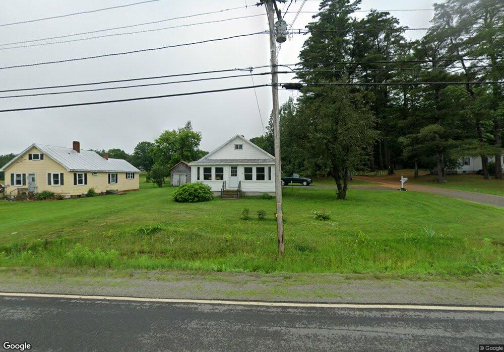
64 Union St North Anson, ME 04958
Estimated Value: $70,000 - $205,000
Studio
--
Bath
--
Sq Ft
0.64
Acres Lot
About This Home
This home is located at 64 Union St, North Anson, ME 04958 and is currently estimated at $153,619. 64 Union St is a home.
Ownership History
Date
Name
Owned For
Owner Type
Purchase Details
Closed on
Nov 10, 2005
Sold by
Paine Frank A and Paine Barry A
Bought by
Courtney Amos R
Current Estimated Value
Home Financials for this Owner
Home Financials are based on the most recent Mortgage that was taken out on this home.
Original Mortgage
$51,200
Outstanding Balance
$27,192
Interest Rate
5.93%
Mortgage Type
Commercial
Estimated Equity
$126,427
Create a Home Valuation Report for This Property
The Home Valuation Report is an in-depth analysis detailing your home's value as well as a comparison with similar homes in the area
Home Values in the Area
Average Home Value in this Area
Purchase History
We collect this data history from publicly available records. To have your information removed, we recommend requesting removal directly through your county’s website.
| Date | Buyer | Sale Price | Title Company |
|---|---|---|---|
| Courtney Amos R | -- | -- |
Source: Public Records
Mortgage History
We collect this data history from publicly available records. To have your information removed, we recommend requesting removal directly through your county’s website.
| Date | Status | Borrower | Loan Amount |
|---|---|---|---|
| Open | Courtney Amos R | $51,200 |
Source: Public Records
Tax History
| Year | Tax Paid | Tax Assessment Tax Assessment Total Assessment is a certain percentage of the fair market value that is determined by local assessors to be the total taxable value of land and additions on the property. | Land | Improvement |
|---|---|---|---|---|
| 2025 | $2,013 | $108,930 | $24,470 | $84,460 |
| 2024 | $1,786 | $108,930 | $24,470 | $84,460 |
| 2023 | $1,556 | $81,900 | $18,400 | $63,500 |
| 2022 | $1,474 | $81,900 | $18,400 | $63,500 |
| 2021 | $1,478 | $71,220 | $16,000 | $55,220 |
| 2020 | $1,585 | $71,220 | $16,000 | $55,220 |
| 2019 | $1,567 | $71,220 | $16,000 | $55,220 |
| 2018 | $1,493 | $71,220 | $16,000 | $55,220 |
| 2017 | $1,424 | $71,220 | $16,000 | $55,220 |
| 2016 | $1,346 | $71,220 | $16,000 | $55,220 |
| 2015 | $1,424 | $71,220 | $16,000 | $55,220 |
| 2014 | $1,424 | $71,220 | $16,000 | $55,220 |
| 2013 | -- | $71,220 | $16,000 | $55,220 |
Source: Public Records
Map
Nearby Homes
- 17 N Main St
- 13 Hall St
- 10 Madison St
- 15 Summer St
- 47 New Portland Rd
- 116 N Main St
- 565 River Rd
- 167 (House) Town Farm Rd
- 167 ''Camp'' Town Farm Rd
- 562 Valley Rd
- 20 Blue Jay Dr
- 19 Weston Ave
- Lot 35 Wedge St
- Lot 36 Wedge St
- 98 Madison Ave
- 22 Highland Ave
- 047-025 Cardinal Dr
- 29 Wilson St
- 8 Thomas St
- 7 Bean St
Your Personal Tour Guide
Ask me questions while you tour the home.