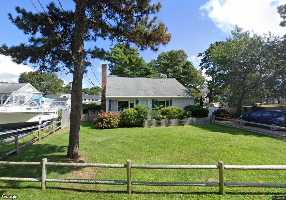
64 Union Wharf Rd Dennis Port, MA 02639
Dennis Port NeighborhoodEstimated Value: $606,000 - $833,017
4
Beds
2
Baths
1,201
Sq Ft
$615/Sq Ft
Est. Value
About This Home
This home is located at 64 Union Wharf Rd, Dennis Port, MA 02639 and is currently estimated at $738,754, approximately $615 per square foot. 64 Union Wharf Rd is a home located in Barnstable County with nearby schools including Dennis-Yarmouth Regional High School and St. Pius X. School.
Ownership History
Date
Name
Owned For
Owner Type
Purchase Details
Closed on
Dec 3, 2007
Sold by
Kerstein Ellen L
Bought by
Kerstein Milton L
Current Estimated Value
Purchase Details
Closed on
Mar 17, 2000
Sold by
Simkins Bruce F
Bought by
Kerstein Milton L and Kerstein Ellen L
Home Financials for this Owner
Home Financials are based on the most recent Mortgage that was taken out on this home.
Original Mortgage
$125,625
Interest Rate
8.24%
Mortgage Type
Purchase Money Mortgage
Create a Home Valuation Report for This Property
The Home Valuation Report is an in-depth analysis detailing your home's value as well as a comparison with similar homes in the area
Home Values in the Area
Average Home Value in this Area
Purchase History
| Date | Buyer | Sale Price | Title Company |
|---|---|---|---|
| Kerstein Milton L | -- | -- | |
| Kerstein Milton L | $167,500 | -- |
Source: Public Records
Mortgage History
| Date | Status | Borrower | Loan Amount |
|---|---|---|---|
| Previous Owner | Kerstein Milton L | $125,625 |
Source: Public Records
Tax History Compared to Growth
Tax History
| Year | Tax Paid | Tax Assessment Tax Assessment Total Assessment is a certain percentage of the fair market value that is determined by local assessors to be the total taxable value of land and additions on the property. | Land | Improvement |
|---|---|---|---|---|
| 2025 | $2,862 | $661,000 | $281,400 | $379,600 |
| 2024 | $2,801 | $638,000 | $270,700 | $367,300 |
| 2023 | $2,708 | $579,900 | $246,000 | $333,900 |
| 2022 | $2,532 | $452,100 | $193,900 | $258,200 |
| 2021 | $2,451 | $406,500 | $190,100 | $216,400 |
| 2020 | $2,097 | $343,700 | $190,100 | $153,600 |
| 2019 | $5,645 | $370,400 | $202,400 | $168,000 |
| 2018 | $2,251 | $355,000 | $192,700 | $162,300 |
| 2017 | $5,355 | $334,600 | $177,500 | $157,100 |
| 2016 | $1,967 | $301,300 | $167,300 | $134,000 |
| 2015 | $1,928 | $301,300 | $167,300 | $134,000 |
| 2014 | $1,849 | $291,200 | $157,200 | $134,000 |
Source: Public Records
Map
Nearby Homes
- 102 Sea St
- 402 Old Wharf Rd
- 402 Old Wharf Rd
- 22 Ferncliff Rd
- 405 Old Wharf Rd Unit B204
- 405 Old Wharf Rd Unit B204
- 11 Ocean Park W
- 37-A Beach Hills Rd
- 9 Chase Ave Unit 6
- 37 Beach Hills Rd
- 262 Old Wharf Rd Unit 67
- 262 Old Wharf Rd Unit 5
- 262 Old Wharf Rd Unit 5
- 262 Old Wharf Rd Unit 20
- 262 Old Wharf Rd Unit 87
- 12 Cross St
- 26 Manning Rd
- 241 Old Wharf Rd Unit 82
- 241 Old Wharf Rd Unit 127
- 241 Old Wharf Rd Unit 90
- 68 Union Wharf Rd Unit 3
- 68 Union Wharf Rd Unit 2
- 68 Union Wharf Rd Unit 1
- 68 Union Wharf Rd
- 68 Union Wharf Rd Unit 4
- 21 Highbank Cartway
- 19 Highbank Cartway
- 61 Union Wharf Rd
- 65 Union Wharf Rd
- 58 Union Wharf Rd
- 72 Union Wharf Rd
- 17 Highbank Cartway
- 71 Union Wharf Rd
- 59 Union Wharf Rd
- 28 Highbank Cartway
- 24 Highbank Cartway
- 52 Union Wharf Rd
- 34 Highbank Cartway
- 98 Sea St
- 22 Highbank Cartway