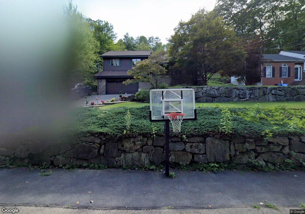
64 Upper High Crest Rd West Milford, NJ 07480
Estimated Value: $620,000 - $713,000
4
Beds
3
Baths
2,660
Sq Ft
$251/Sq Ft
Est. Value
About This Home
This home is located at 64 Upper High Crest Rd, West Milford, NJ 07480 and is currently estimated at $668,225, approximately $251 per square foot. 64 Upper High Crest Rd is a home located in Passaic County with nearby schools including Macopin Middle School, West Milford High School, and Apple Montessori Schools and Camps - Kinnelon.
Ownership History
Date
Name
Owned For
Owner Type
Purchase Details
Closed on
Jun 25, 2018
Sold by
Serrano John and Serrano Marie
Bought by
Burke Christopher and Burke Donna
Current Estimated Value
Home Financials for this Owner
Home Financials are based on the most recent Mortgage that was taken out on this home.
Original Mortgage
$370,500
Outstanding Balance
$320,420
Interest Rate
4.5%
Mortgage Type
New Conventional
Estimated Equity
$347,805
Purchase Details
Closed on
May 31, 2016
Sold by
Mccormack Barbara A
Bought by
Serrano John and Serrano Toni Marie
Home Financials for this Owner
Home Financials are based on the most recent Mortgage that was taken out on this home.
Original Mortgage
$300,000
Interest Rate
3.66%
Mortgage Type
New Conventional
Create a Home Valuation Report for This Property
The Home Valuation Report is an in-depth analysis detailing your home's value as well as a comparison with similar homes in the area
Home Values in the Area
Average Home Value in this Area
Purchase History
| Date | Buyer | Sale Price | Title Company |
|---|---|---|---|
| Burke Christopher | $390,000 | Berkshire Abstract & Title A | |
| Serrano John | $340,000 | Affiliated Bakers Titel |
Source: Public Records
Mortgage History
| Date | Status | Borrower | Loan Amount |
|---|---|---|---|
| Open | Burke Christopher | $370,500 | |
| Previous Owner | Serrano John | $300,000 |
Source: Public Records
Tax History Compared to Growth
Tax History
| Year | Tax Paid | Tax Assessment Tax Assessment Total Assessment is a certain percentage of the fair market value that is determined by local assessors to be the total taxable value of land and additions on the property. | Land | Improvement |
|---|---|---|---|---|
| 2025 | $13,634 | $336,300 | $109,500 | $226,800 |
| 2024 | $13,704 | $336,300 | $109,500 | $226,800 |
| 2022 | $13,008 | $336,300 | $109,500 | $226,800 |
| 2021 | $12,729 | $336,300 | $109,500 | $226,800 |
| 2020 | $12,594 | $336,300 | $109,500 | $226,800 |
| 2019 | $12,426 | $336,300 | $109,500 | $226,800 |
| 2018 | $12,396 | $336,300 | $109,500 | $226,800 |
| 2017 | $12,453 | $336,300 | $109,500 | $226,800 |
| 2016 | $12,696 | $342,300 | $115,500 | $226,800 |
| 2015 | $12,549 | $342,300 | $115,500 | $226,800 |
| 2014 | $12,244 | $342,300 | $115,500 | $226,800 |
Source: Public Records
Map
Nearby Homes
- 94 Upper High Crest Dr
- 351 High Crest Dr
- 15 Longview Rd
- 13 Upper High Crest Dr
- 1858 New Jersey 23
- 1858 State Rt 23
- 128 Upper High Crest Dr
- 128 Up High Crest Rd
- 94 Up High Crest Rd
- 34 North Rd
- 2 Sheeprock Rd
- 402 Cambridge Dr
- 34 Ricker Rd
- 130 Barrister Dr
- 474 Cambridge Dr
- 6 Mohawk Trail
- 265 Winthrop Dr Unit 54
- 271 Winthrop Dr Unit 57
- 11 Wilshire Terrace
- 54 Wilshire Terrace
- 64 Upper High Crest Dr
- 60 Upper High Crest Dr
- 58 Upper High Crest Dr
- 68 Upper High Crest Dr
- 70 Upper High Crest Dr
- 18 Pawnee Terrace
- 20 Pawnee Terrace
- 54 Upper High Crest Dr
- 12 Pawnee Terrace
- 24 Pawnee Terrace
- 74 Upper High Crest Dr
- 26 Pawnee Terrace
- 76 Upper High Crest Dr
- 76 High Crest Dr Unit UP
- 4 Pawnee Terrace
- 80 High Crest Dr
- 80 High Crest Dr Unit UP
- 21 Pawnee Terrace
- 13 Pawnee Terrace
- 17 Pawnee Terrace