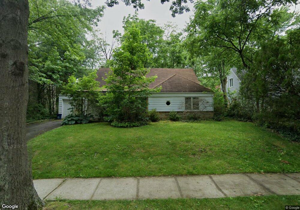
64 Warwick Rd Great Neck, NY 11023
Estimated Value: $1,006,000 - $1,235,574
4
Beds
2
Baths
1,608
Sq Ft
$697/Sq Ft
Est. Value
About This Home
This home is located at 64 Warwick Rd, Great Neck, NY 11023 and is currently estimated at $1,120,787, approximately $697 per square foot. 64 Warwick Rd is a home located in Nassau County with nearby schools including Elizabeth M. Baker Elementary School, Great Neck North Middle School, and Great Neck North High School.
Ownership History
Date
Name
Owned For
Owner Type
Purchase Details
Closed on
Apr 16, 2003
Sold by
Youssefi Kambiz
Bought by
Youssefi Deborah
Current Estimated Value
Purchase Details
Closed on
Aug 14, 2001
Purchase Details
Closed on
Aug 5, 1999
Sold by
Kunstadt Lawrence
Bought by
Youssefi Kamran
Home Financials for this Owner
Home Financials are based on the most recent Mortgage that was taken out on this home.
Original Mortgage
$306,080
Interest Rate
7.6%
Mortgage Type
Purchase Money Mortgage
Purchase Details
Closed on
Jan 15, 1999
Create a Home Valuation Report for This Property
The Home Valuation Report is an in-depth analysis detailing your home's value as well as a comparison with similar homes in the area
Home Values in the Area
Average Home Value in this Area
Purchase History
| Date | Buyer | Sale Price | Title Company |
|---|---|---|---|
| Youssefi Deborah | $510,000 | -- | |
| -- | -- | -- | |
| Youssefi Kamran | $382,600 | -- | |
| -- | -- | -- |
Source: Public Records
Mortgage History
| Date | Status | Borrower | Loan Amount |
|---|---|---|---|
| Previous Owner | Youssefi Kamran | $306,080 |
Source: Public Records
Tax History
| Year | Tax Paid | Tax Assessment Tax Assessment Total Assessment is a certain percentage of the fair market value that is determined by local assessors to be the total taxable value of land and additions on the property. | Land | Improvement |
|---|---|---|---|---|
| 2025 | $14,883 | $824 | $493 | $331 |
| 2024 | $4,461 | $824 | $493 | $331 |
Source: Public Records
Map
Nearby Homes
- 107 Baker Hill Rd
- 5 Devonshire Ln
- 94 Fairview Ave
- 100 Station Rd
- 62 Essex Rd
- 47 Berkshire Rd
- 12 South St
- 11 Wooleys Ln E Unit 3A
- 17 Wooleys Ln
- 137 Station Rd
- 11 Wooleys Ln Unit 1
- 11 Wooleys Ln Unit 2E
- 333 E Shore Rd
- 369 E Shore Rd
- 1 Wooleys Ln Unit 2B
- 25 North Dr
- 8 Wooleys Ln Unit B12
- 6 Wooleys Ln Unit B-34
- 221 Middle Neck Rd Unit M2
- 221 Middle Neck Rd Unit G5
Your Personal Tour Guide
Ask me questions while you tour the home.