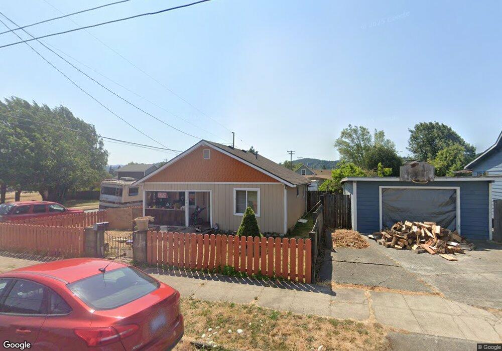
640 C St Myrtle Point, OR 97458
Estimated Value: $191,000 - $241,314
2
Beds
1
Bath
775
Sq Ft
$279/Sq Ft
Est. Value
About This Home
This home is located at 640 C St, Myrtle Point, OR 97458 and is currently estimated at $216,157, approximately $278 per square foot. 640 C St is a home located in Coos County with nearby schools including Myrtle Crest School and Myrtle Point High School.
Ownership History
Date
Name
Owned For
Owner Type
Purchase Details
Closed on
Sep 17, 2015
Sold by
Love Susan Linette
Bought by
Walton Michael Adam and Walton Margaret Lynn
Current Estimated Value
Home Financials for this Owner
Home Financials are based on the most recent Mortgage that was taken out on this home.
Original Mortgage
$55,000
Outstanding Balance
$43,006
Interest Rate
3.86%
Mortgage Type
New Conventional
Estimated Equity
$173,151
Purchase Details
Closed on
Nov 20, 2009
Sold by
Murray John and Murray Linda
Bought by
Love Susan Linette
Home Financials for this Owner
Home Financials are based on the most recent Mortgage that was taken out on this home.
Original Mortgage
$70,500
Interest Rate
4.83%
Mortgage Type
Seller Take Back
Create a Home Valuation Report for This Property
The Home Valuation Report is an in-depth analysis detailing your home's value as well as a comparison with similar homes in the area
Home Values in the Area
Average Home Value in this Area
Purchase History
| Date | Buyer | Sale Price | Title Company |
|---|---|---|---|
| Walton Michael Adam | $85,000 | Ticor Title Insurance | |
| Love Susan Linette | $73,000 | Fidelity National Title Co |
Source: Public Records
Mortgage History
| Date | Status | Borrower | Loan Amount |
|---|---|---|---|
| Open | Walton Michael Adam | $55,000 | |
| Previous Owner | Love Susan Linette | $70,500 |
Source: Public Records
Tax History Compared to Growth
Tax History
| Year | Tax Paid | Tax Assessment Tax Assessment Total Assessment is a certain percentage of the fair market value that is determined by local assessors to be the total taxable value of land and additions on the property. | Land | Improvement |
|---|---|---|---|---|
| 2025 | $1,360 | $82,060 | -- | -- |
| 2024 | $1,338 | $79,670 | -- | -- |
| 2023 | $1,276 | $77,350 | $0 | $0 |
| 2022 | $1,256 | $75,100 | $0 | $0 |
| 2021 | $1,224 | $72,920 | $0 | $0 |
| 2020 | $1,190 | $72,920 | $0 | $0 |
| 2019 | $1,138 | $68,740 | $0 | $0 |
| 2018 | $1,107 | $66,740 | $0 | $0 |
| 2017 | $1,078 | $64,800 | $0 | $0 |
| 2016 | $1,004 | $62,920 | $0 | $0 |
| 2015 | $909 | $61,090 | $0 | $0 |
| 2014 | $909 | $59,470 | $0 | $0 |
Source: Public Records
Map
Nearby Homes