Estimated Value: $433,000 - $580,000
3
Beds
3
Baths
2,127
Sq Ft
$232/Sq Ft
Est. Value
About This Home
This home is located at 640 Cemetery Rd, Boyd, TX 76023 and is currently estimated at $492,679, approximately $231 per square foot. 640 Cemetery Rd is a home located in Wise County with nearby schools including Boyd Elementary School, Boyd Middle School, and Boyd High School.
Ownership History
Date
Name
Owned For
Owner Type
Purchase Details
Closed on
Oct 29, 2012
Sold by
Bank Of New York Mellon
Bought by
Traister Cecil G
Current Estimated Value
Home Financials for this Owner
Home Financials are based on the most recent Mortgage that was taken out on this home.
Original Mortgage
$130,150
Outstanding Balance
$89,979
Interest Rate
3.4%
Mortgage Type
New Conventional
Estimated Equity
$402,700
Purchase Details
Closed on
Nov 11, 2011
Sold by
Craig Troy A and Craig Diana L
Bought by
The Bank Of New York Mellon
Purchase Details
Closed on
Mar 12, 2003
Sold by
Kirchner and Craig
Bought by
Traister Cecil G
Purchase Details
Closed on
Oct 28, 1994
Bought by
Traister Cecil G
Purchase Details
Closed on
Mar 11, 1987
Bought by
Traister Cecil G
Create a Home Valuation Report for This Property
The Home Valuation Report is an in-depth analysis detailing your home's value as well as a comparison with similar homes in the area
Home Values in the Area
Average Home Value in this Area
Purchase History
| Date | Buyer | Sale Price | Title Company |
|---|---|---|---|
| Traister Cecil G | -- | -- | |
| The Bank Of New York Mellon | $187,976 | -- | |
| Traister Cecil G | -- | -- | |
| Traister Cecil G | -- | -- | |
| Traister Cecil G | -- | -- |
Source: Public Records
Mortgage History
| Date | Status | Borrower | Loan Amount |
|---|---|---|---|
| Open | Traister Cecil G | $130,150 |
Source: Public Records
Tax History Compared to Growth
Tax History
| Year | Tax Paid | Tax Assessment Tax Assessment Total Assessment is a certain percentage of the fair market value that is determined by local assessors to be the total taxable value of land and additions on the property. | Land | Improvement |
|---|---|---|---|---|
| 2025 | $5,604 | $619,363 | $164,440 | $454,923 |
| 2024 | $5,604 | $547,486 | $0 | $0 |
| 2023 | $5,879 | $492,239 | $0 | $0 |
| 2022 | $6,684 | $450,079 | $0 | $0 |
| 2021 | $6,563 | $412,930 | $108,670 | $304,260 |
| 2020 | $6,046 | $379,470 | $97,160 | $282,310 |
| 2019 | $5,983 | $363,100 | $97,160 | $265,940 |
| 2018 | $5,728 | $345,630 | $83,470 | $262,160 |
| 2017 | $4,955 | $279,140 | $51,450 | $227,690 |
| 2016 | $3,602 | $223,950 | $41,010 | $182,940 |
| 2015 | -- | $185,310 | $35,620 | $149,690 |
| 2014 | -- | $179,550 | $35,610 | $143,940 |
Source: Public Records
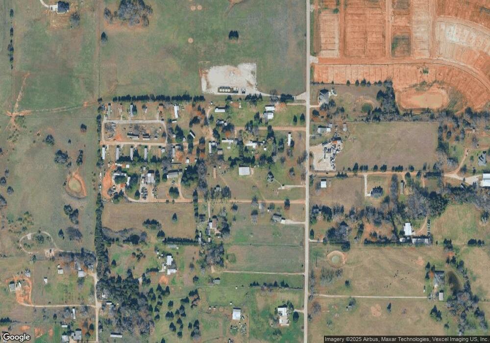
Map
Nearby Homes
- 119 Gerber Ln
- 125 Bermuda Place
- 133 Daffodil Ln
- 129 Bermuda Place
- 148 Chestnut Terrace
- 141 Bermuda Place
- 140 Running River Dr
- 139 Mojave Ln
- 125 Running River Dr
- 156 Lilywood Ln
- 162 Greengate Dr
- AMBER Plan at Springhill South
- NATCHEZ Plan at Springhill South
- HANNA Plan at Springhill South
- TUPELO Plan at Springhill South
- SOUTHHAVEN Plan at Springhill South
- STARKVILLE Plan at Springhill South
- MACON Plan at Springhill South
- LEXINGTON Plan at Springhill South
- KENNEDY Plan at Springhill South
- 664 Cemetery Rd
- 635 Cemetery Rd
- 582 Cemetery Rd
- 564 Cemetery Rd
- 121 Private Road 4926
- 121 Private Road 4926
- 121 Private Road 4926
- 124 Private Road 4689
- 131 Private Road 4700
- 131 Private Road 4700
- 569 Cemetery Rd
- 4793 Pr 4788
- 158 Private Road 4689
- 224 Private Road 4703
- 790 Cemetery Rd
- 721 Cemetery Rd
- 526 County Road 4676
- 526 County Road 4676
- 183 Private Road 4689
- 183 Private Road 4689