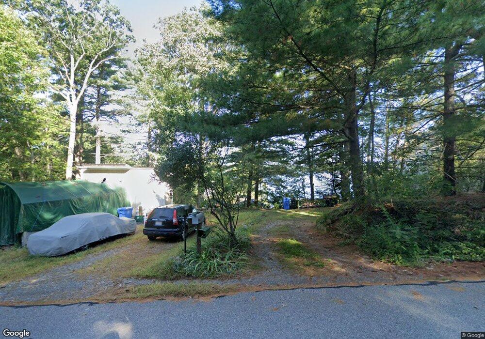
640 Eastside Rd Wrentham, MA 02093
Estimated Value: $529,000 - $624,176
3
Beds
--
Bath
616
Sq Ft
$940/Sq Ft
Est. Value
About This Home
This home is located at 640 Eastside Rd, Wrentham, MA 02093 and is currently estimated at $578,794, approximately $939 per square foot. 640 Eastside Rd is a home located in Norfolk County with nearby schools including Delaney Elementary School and Charles E Roderick.
Ownership History
Date
Name
Owned For
Owner Type
Purchase Details
Closed on
Jul 25, 2024
Sold by
Thompson Matthew A
Bought by
Thompson Matthew A and Thompson Lauren F
Current Estimated Value
Purchase Details
Closed on
Feb 19, 2009
Sold by
Thompson Sylvia F
Bought by
Thompson Matthew A and Thompson Sylvia F
Create a Home Valuation Report for This Property
The Home Valuation Report is an in-depth analysis detailing your home's value as well as a comparison with similar homes in the area
Home Values in the Area
Average Home Value in this Area
Purchase History
| Date | Buyer | Sale Price | Title Company |
|---|---|---|---|
| Thompson Matthew A | -- | None Available | |
| Thompson Matthew A | -- | None Available | |
| Thompson Matthew A | -- | -- | |
| Thompson Sylvia F | -- | -- | |
| Thompson Sylvia F | -- | -- |
Source: Public Records
Tax History Compared to Growth
Tax History
| Year | Tax Paid | Tax Assessment Tax Assessment Total Assessment is a certain percentage of the fair market value that is determined by local assessors to be the total taxable value of land and additions on the property. | Land | Improvement |
|---|---|---|---|---|
| 2025 | $5,914 | $510,300 | $425,500 | $84,800 |
| 2024 | $5,498 | $458,200 | $425,500 | $32,700 |
| 2023 | $5,106 | $404,600 | $381,400 | $23,200 |
| 2022 | $4,533 | $331,600 | $313,700 | $17,900 |
| 2021 | $5,110 | $363,200 | $346,700 | $16,500 |
| 2020 | $5,391 | $378,300 | $352,900 | $25,400 |
| 2019 | $5,520 | $390,900 | $365,500 | $25,400 |
| 2018 | $5,492 | $385,700 | $365,800 | $19,900 |
| 2017 | $5,377 | $377,300 | $358,800 | $18,500 |
| 2016 | $5,245 | $367,300 | $348,400 | $18,900 |
| 2015 | $5,313 | $354,700 | $334,900 | $19,800 |
| 2014 | $5,233 | $341,800 | $322,100 | $19,700 |
Source: Public Records
Map
Nearby Homes
- Lot 3 - 14 Earle Stewart Ln
- Lot 1 - Blueberry 2 Car Plan at King Philip Estates
- Lot 8 - Blueberry 2 Car Plan at King Philip Estates
- Lot 5 - Hughes 2 car Plan at King Philip Estates
- Lot 6 - Blueberry 3 Car Plan at King Philip Estates
- Lot 2 - Camden 2 Car Plan at King Philip Estates
- Lot 7 - Cedar Plan at King Philip Estates
- Lot 4 - Hemingway 2 Car Plan at King Philip Estates
- Lot 3 - Blueberry 2 Car Plan at King Philip Estates
- 11 Earle Stewart Ln
- 131 Creek St Unit 7
- 570 Franklin St
- 791 South St Unit 5
- 10 Nature View Dr
- 15 Nature View Dr
- 319 Taunton St
- 440 Chestnut St
- 50 Reed Fulton Ave Unit Lot 61
- 270 Dedham St
- 1 Lorraine Metcalf Dr
- 650 Eastside Rd
- 660 Eastside Rd
- 600 Eastside Rd
- 610 Eastside Rd
- 590 Eastside Rd
- 670 Eastside Rd
- 580 Eastside Rd
- 550 Eastside Rd
- 560 Eastside Rd
- 680 Eastside Rd
- 690 Eastside Rd
- 540 Eastside Rd
- 530 Eastside Rd
- 540 E Side Rd
- 700 Eastside Rd
- 735 Eastside Rd
- 710 Eastside Rd
- 720 Eastside Rd
- 730 Eastside Rd
- 740 Eastside Rd