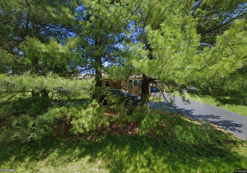
640 Highway 337 SE Corydon, IN 47112
Estimated Value: $236,185 - $272,000
3
Beds
1
Bath
1,416
Sq Ft
$175/Sq Ft
Est. Value
About This Home
This home is located at 640 Highway 337 SE, Corydon, IN 47112 and is currently estimated at $247,296, approximately $174 per square foot. 640 Highway 337 SE is a home located in Harrison County with nearby schools including Corydon Elementary School, Corydon Intermediate School, and Corydon Central Junior High School.
Ownership History
Date
Name
Owned For
Owner Type
Purchase Details
Closed on
Oct 18, 2019
Sold by
Weber Donna F
Bought by
Clark Michael C
Current Estimated Value
Home Financials for this Owner
Home Financials are based on the most recent Mortgage that was taken out on this home.
Original Mortgage
$153,122
Outstanding Balance
$133,867
Interest Rate
3.4%
Mortgage Type
Construction
Estimated Equity
$113,429
Create a Home Valuation Report for This Property
The Home Valuation Report is an in-depth analysis detailing your home's value as well as a comparison with similar homes in the area
Home Values in the Area
Average Home Value in this Area
Purchase History
| Date | Buyer | Sale Price | Title Company |
|---|---|---|---|
| Clark Michael C | $149,900 | Attorney Only |
Source: Public Records
Mortgage History
| Date | Status | Borrower | Loan Amount |
|---|---|---|---|
| Open | Clark Michael C | $153,122 |
Source: Public Records
Tax History Compared to Growth
Tax History
| Year | Tax Paid | Tax Assessment Tax Assessment Total Assessment is a certain percentage of the fair market value that is determined by local assessors to be the total taxable value of land and additions on the property. | Land | Improvement |
|---|---|---|---|---|
| 2024 | $1,119 | $205,600 | $50,000 | $155,600 |
| 2023 | $1,013 | $187,600 | $40,000 | $147,600 |
| 2022 | $1,023 | $173,200 | $35,000 | $138,200 |
| 2021 | $947 | $157,800 | $30,000 | $127,800 |
| 2020 | $805 | $138,700 | $25,000 | $113,700 |
| 2019 | $777 | $131,600 | $25,000 | $106,600 |
| 2018 | $694 | $122,800 | $25,000 | $97,800 |
| 2017 | $615 | $115,600 | $22,700 | $92,900 |
| 2016 | $553 | $112,000 | $22,700 | $89,300 |
| 2014 | $484 | $106,100 | $21,400 | $84,700 |
| 2013 | $484 | $113,800 | $21,400 | $92,400 |
Source: Public Records
Map
Nearby Homes
- 23 Indiana 337
- 0 N Highway 337
- 0 N Highway 337 NE
- 0 Muirfield Dr SE Unit Lot 39 2025010484
- 0 Muirfield Dr SE Unit Lot 38 2025010482
- 0 Country Club Estates Dr SE
- 104 Cook St
- 0 Atwood St Unit 2025012067
- 300 N Maple St
- 524 N Capitol Ave
- 601 Farquar Ave
- 609 Farquar Ave
- 807 Woodland Ave
- Lot 19 Richmond Dr
- 1475 Willow Creek Dr NE
- 813 Woodland Ave
- 0 Creekstone St Unit MFRO6344197
- 1335 Grace St NE
- 0 August Yocum Ln NE
- 895 Brigetta Dr NE
- 640 Indiana 337
- 620 Highway 337 SE
- 245 Alabama Dr SE
- 704 Highway 337 SE
- 326 Carolina Way SE
- 232 Alabama Dr SE
- 725 Highway 337 SE
- 740 Highway 337 SE
- 372 Carolina Way SE
- 579 Old Highway 337
- 579 Highway 337 SE
- 276 E Ridge Rd SE
- 0 Lot #32 Carolina Way Unit 201204545
- 0 Lot #33 Carolina Way Unit 201204544
- 33 Carolina Way
- 32 Carolina Way
- 0 Alabama Dr SE Unit 201500429
- 0 Alabama Dr SE Unit 201500431
- 0 Alabama Dr SE Unit 201601147
- 0 Alabama Dr SE Unit 201601146