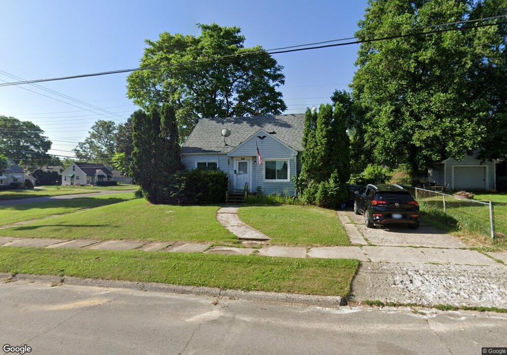
640 McKeighan Ave Flint, MI 48507
Circle Drive NeighborhoodEstimated Value: $70,148 - $86,000
3
Beds
1
Bath
976
Sq Ft
$79/Sq Ft
Est. Value
About This Home
This home is located at 640 McKeighan Ave, Flint, MI 48507 and is currently estimated at $77,287, approximately $79 per square foot. 640 McKeighan Ave is a home located in Genesee County with nearby schools including Freeman Elementary School, Flint Southwestern Classical Academy, and International Academy of Flint (K-12).
Ownership History
Date
Name
Owned For
Owner Type
Purchase Details
Closed on
Jun 16, 2023
Sold by
Swartz Brian Lee and Swartz Donna Kay
Bought by
Jaco Renee
Current Estimated Value
Purchase Details
Closed on
Nov 2, 2012
Sold by
Swartz Brian and Swartz Donna
Bought by
Jaco Renee
Home Financials for this Owner
Home Financials are based on the most recent Mortgage that was taken out on this home.
Original Mortgage
$20,000
Interest Rate
3.62%
Mortgage Type
Seller Take Back
Create a Home Valuation Report for This Property
The Home Valuation Report is an in-depth analysis detailing your home's value as well as a comparison with similar homes in the area
Home Values in the Area
Average Home Value in this Area
Purchase History
| Date | Buyer | Sale Price | Title Company |
|---|---|---|---|
| Jaco Renee | $10,000 | None Listed On Document | |
| Jaco Renee | $20,000 | None Available |
Source: Public Records
Mortgage History
| Date | Status | Borrower | Loan Amount |
|---|---|---|---|
| Previous Owner | Jaco Renee | $20,000 |
Source: Public Records
Tax History Compared to Growth
Tax History
| Year | Tax Paid | Tax Assessment Tax Assessment Total Assessment is a certain percentage of the fair market value that is determined by local assessors to be the total taxable value of land and additions on the property. | Land | Improvement |
|---|---|---|---|---|
| 2025 | $1,315 | $34,600 | $0 | $0 |
| 2024 | $1,215 | $30,400 | $0 | $0 |
| 2023 | $1,184 | $27,000 | $0 | $0 |
| 2022 | $0 | $21,800 | $0 | $0 |
| 2021 | $1,202 | $21,300 | $0 | $0 |
| 2020 | $1,102 | $17,300 | $0 | $0 |
| 2019 | $1,074 | $13,200 | $0 | $0 |
| 2018 | $1,073 | $12,200 | $0 | $0 |
| 2017 | $1,083 | $0 | $0 | $0 |
| 2016 | $1,075 | $0 | $0 | $0 |
| 2015 | -- | $0 | $0 | $0 |
| 2014 | -- | $0 | $0 | $0 |
| 2012 | -- | $16,800 | $0 | $0 |
Source: Public Records
Map
Nearby Homes
- 810 Macdonald Ave
- 4424 Cheyenne Ave
- 4310 Cheyenne Ave
- 621 Burroughs Ave
- 630 Buckingham Ave
- 4127 Custer Ave
- 4205 Red Arrow Rd
- 3343 Cheyenne Ave
- 454 E Atherton Rd
- 326 Burroughs Ave
- 3614 Comanche Ave
- 3505 Comanche Ave
- 3512 Barcey Ct
- 0000 E Bristol Rd
- 2207 E Boatfield Ave
- 4010 Milton Dr
- 3115 Circle Dr
- 2130 E Whittemore Ave
- 2231 E Bergin Ave
- 2220 E Bergin Ave
- 4510 Ogema Ave
- 134 McKeighan Ave
- 630 McKeighan Ave
- 4518 Ogema Ave
- 4418 Circle Dr
- 626 McKeighan Ave
- 625 Macdonald Ave
- 4522 Ogema Ave Unit Bldg-Unit
- 4522 Ogema Ave
- 4501 Ogema Ave
- 629 McKeighan Ave
- 4507 Ogema Ave
- 622 McKeighan Ave
- 617 Macdonald Ave
- 4415 Ogema Ave
- 4515 Ogema Ave
- 625 McKeighan Ave
- 4408 Circle Dr
- 613 Macdonald Ave
- 4411 Ogema Ave