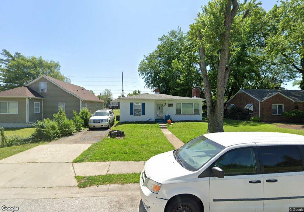
640 Pershing St East Saint Louis, IL 62203
Estimated Value: $45,000 - $64,000
--
Bed
--
Bath
1,266
Sq Ft
$42/Sq Ft
Est. Value
About This Home
This home is located at 640 Pershing St, East Saint Louis, IL 62203 and is currently estimated at $52,987, approximately $41 per square foot. 640 Pershing St is a home located in St. Clair County with nearby schools including Katie Harper-Wright Elementary School, Mason/Clark Middle School, and East St Louis Senior High School.
Ownership History
Date
Name
Owned For
Owner Type
Purchase Details
Closed on
May 4, 2011
Sold by
Johnson Lisa
Bought by
Davis Alphonso L
Current Estimated Value
Purchase Details
Closed on
Jan 12, 2011
Sold by
County Of Saint Clair
Bought by
Johnson Lisa A
Purchase Details
Closed on
Jul 1, 2009
Sold by
Scott Dortiega
Bought by
County Of St Clair
Purchase Details
Closed on
Jun 22, 2001
Sold by
Jones Darris L
Bought by
Scott Dortiea
Home Financials for this Owner
Home Financials are based on the most recent Mortgage that was taken out on this home.
Original Mortgage
$36,000
Interest Rate
7.16%
Mortgage Type
VA
Create a Home Valuation Report for This Property
The Home Valuation Report is an in-depth analysis detailing your home's value as well as a comparison with similar homes in the area
Home Values in the Area
Average Home Value in this Area
Purchase History
| Date | Buyer | Sale Price | Title Company |
|---|---|---|---|
| Davis Alphonso L | -- | None Available | |
| Johnson Lisa A | -- | None Available | |
| County Of St Clair | -- | None Available | |
| Scott Dortiea | $45,000 | Nations Title Agency Inc |
Source: Public Records
Mortgage History
| Date | Status | Borrower | Loan Amount |
|---|---|---|---|
| Previous Owner | Scott Dortiea | $36,000 |
Source: Public Records
Tax History Compared to Growth
Tax History
| Year | Tax Paid | Tax Assessment Tax Assessment Total Assessment is a certain percentage of the fair market value that is determined by local assessors to be the total taxable value of land and additions on the property. | Land | Improvement |
|---|---|---|---|---|
| 2024 | $516 | $10,341 | $1,784 | $8,557 |
| 2023 | $532 | $9,186 | $1,585 | $7,601 |
| 2022 | $535 | $6,684 | $1,464 | $5,220 |
| 2021 | $551 | $6,323 | $1,385 | $4,938 |
| 2020 | $582 | $6,420 | $1,406 | $5,014 |
| 2019 | $613 | $6,420 | $1,406 | $5,014 |
| 2018 | $648 | $6,331 | $1,397 | $4,934 |
| 2017 | $658 | $6,245 | $1,378 | $4,867 |
| 2016 | $661 | $6,269 | $1,383 | $4,886 |
| 2014 | $529 | $5,112 | $2,465 | $2,647 |
| 2013 | $1,588 | $5,245 | $2,529 | $2,716 |
Source: Public Records
Map
Nearby Homes
- 0 Rogers St Unit MAR24076886
- 546 N 81st St
- 839 N 82nd St
- 861 Pershing Blvd
- 659 N 70th St
- 6814 State St
- 462 N 83rd St
- 837 N 70th St
- 11 Calhoun Ln
- 6801 Lake Dr
- 1226 N 71st St
- 38 Granvue Dr
- 6 Hilltop Place
- 14 Granvue Dr
- 6101 Laura Ave
- 1428 1st Ave
- 100 S 98th St
- 212 Woodcrest Dr
- 1619 Pontiac Rd
- 80 N 98th St
- 644 Pershing St
- 634 Pershing St
- 626 Pershing St
- 641 Pershing St
- 635 Pershing St
- 635 Pershing St
- 708 Pershing St
- 624 Pershing St
- 701 Pershing St
- 633 Pershing St
- 720 Pershing St
- 620 Pershing St
- 711 Pershing St
- 619 Pershing St
- 640 N 76th St
- 634 N 76th St
- 644 N 76th St
- 630 N 76th St
- 724 Pershing St
- 628 N 76th St