640 Romans Rd New Vienna, OH 45159
Estimated Value: $447,000 - $565,000
4
Beds
4
Baths
3,224
Sq Ft
$159/Sq Ft
Est. Value
About This Home
This home is located at 640 Romans Rd, New Vienna, OH 45159 and is currently estimated at $513,250, approximately $159 per square foot. 640 Romans Rd is a home located in Clinton County with nearby schools including East Clinton High School.
Ownership History
Date
Name
Owned For
Owner Type
Purchase Details
Closed on
Jun 20, 2023
Sold by
Carter Randell
Bought by
Carter Randall and Carter Sherry L
Current Estimated Value
Purchase Details
Closed on
Oct 28, 2019
Sold by
Carter Vicki L
Bought by
Carter Randall
Home Financials for this Owner
Home Financials are based on the most recent Mortgage that was taken out on this home.
Original Mortgage
$212,000
Interest Rate
3.6%
Mortgage Type
Commercial
Purchase Details
Closed on
Jul 21, 2010
Sold by
Kask Isaac D and Kask Leslie A
Bought by
Carter Randall and Carter Vicki L
Home Financials for this Owner
Home Financials are based on the most recent Mortgage that was taken out on this home.
Original Mortgage
$225,359
Interest Rate
4.62%
Mortgage Type
FHA
Purchase Details
Closed on
Apr 12, 2007
Sold by
Griffith Jeremy
Bought by
Kask Isaac D and Kask Leslie A
Purchase Details
Closed on
Oct 19, 2006
Sold by
Southern Ohio Developers Llc
Bought by
Griffith Jeremy
Create a Home Valuation Report for This Property
The Home Valuation Report is an in-depth analysis detailing your home's value as well as a comparison with similar homes in the area
Home Values in the Area
Average Home Value in this Area
Purchase History
| Date | Buyer | Sale Price | Title Company |
|---|---|---|---|
| Carter Randall | $166 | None Listed On Document | |
| Carter Randall | -- | None Available | |
| Carter Randall | -- | -- | |
| Kask Isaac D | $291,083 | -- | |
| Griffith Jeremy | -- | -- |
Source: Public Records
Mortgage History
| Date | Status | Borrower | Loan Amount |
|---|---|---|---|
| Previous Owner | Carter Randall | $212,000 | |
| Previous Owner | Carter Randall | $225,359 |
Source: Public Records
Tax History Compared to Growth
Tax History
| Year | Tax Paid | Tax Assessment Tax Assessment Total Assessment is a certain percentage of the fair market value that is determined by local assessors to be the total taxable value of land and additions on the property. | Land | Improvement |
|---|---|---|---|---|
| 2024 | $5,282 | $142,810 | $14,530 | $128,280 |
| 2023 | $5,282 | $142,810 | $14,530 | $128,280 |
| 2022 | $5,375 | $126,200 | $10,660 | $115,540 |
| 2021 | $5,426 | $126,200 | $10,660 | $115,540 |
| 2020 | $5,318 | $126,200 | $10,660 | $115,540 |
| 2019 | $3,004 | $74,060 | $8,150 | $65,910 |
| 2018 | $3,004 | $74,060 | $8,150 | $65,910 |
| 2017 | $1,233 | $74,060 | $8,150 | $65,910 |
| 2016 | $2,450 | $74,060 | $8,150 | $65,910 |
| 2015 | $2,494 | $74,060 | $8,150 | $65,910 |
| 2013 | $2,603 | $74,490 | $8,580 | $65,910 |
Source: Public Records
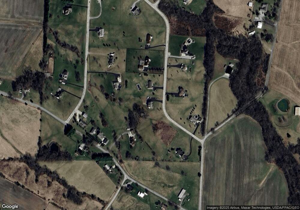
Map
Nearby Homes
- 392 Romans Rd
- 62 Kings Ct
- 1056 West Rd
- 429 Cumberland Rd
- 1529 Hildebrant Rd
- 5891 Farmers Rd
- 0 Hildebrant Rd Unit 1856809
- 0 E Fork Rd Unit 1842519
- 0 E Fork Rd Unit 1829555
- 208 Dorothy Ln
- 10035 Wolfe Rd
- 13287 State Route 729
- 57 Kings Ct
- 89 E Main St
- 288 Clark Rd
- 67 Sweet St
- 13 S High St
- 6081 Panhandle Rd
- 3071 Panhandle Rd
- 3657 Farmers Rd