640 S Forty Rd West Fork, AR 72774
Estimated Value: $332,000 - $794,000
--
Bed
2
Baths
1,678
Sq Ft
$320/Sq Ft
Est. Value
About This Home
This home is located at 640 S Forty Rd, West Fork, AR 72774 and is currently estimated at $536,948, approximately $319 per square foot. 640 S Forty Rd is a home located in Washington County with nearby schools including West Fork Elementary School, West Fork Middle School, and West Fork High School.
Ownership History
Date
Name
Owned For
Owner Type
Purchase Details
Closed on
May 31, 2017
Sold by
Wright Doyle
Bought by
Greenway Jennifer Randall Harris and Greenway Jordan
Current Estimated Value
Home Financials for this Owner
Home Financials are based on the most recent Mortgage that was taken out on this home.
Original Mortgage
$272,000
Outstanding Balance
$225,937
Interest Rate
3.97%
Mortgage Type
New Conventional
Estimated Equity
$311,011
Purchase Details
Closed on
Nov 10, 2004
Sold by
Daugherty Robert R
Bought by
Wright Doyle
Purchase Details
Closed on
Jul 20, 1992
Bought by
Bradley Michael T and Bradley Vicki D
Purchase Details
Closed on
Mar 13, 1991
Bought by
Sisemore Charles E and Sisemore Charolette S
Purchase Details
Closed on
Jul 11, 1990
Bought by
Central Production Credit Assoc
Purchase Details
Closed on
Jan 1, 1990
Bought by
South Forty Land Company
Create a Home Valuation Report for This Property
The Home Valuation Report is an in-depth analysis detailing your home's value as well as a comparison with similar homes in the area
Home Values in the Area
Average Home Value in this Area
Purchase History
| Date | Buyer | Sale Price | Title Company |
|---|---|---|---|
| Greenway Jennifer Randall Harris | $320,000 | Lenders Title Co | |
| Wright Doyle | -- | Waco Title Company | |
| Bradley Michael T | $160,000 | -- | |
| Sisemore Charles E | -- | -- | |
| Central Production Credit Assoc | -- | -- | |
| South Forty Land Company | -- | -- |
Source: Public Records
Mortgage History
| Date | Status | Borrower | Loan Amount |
|---|---|---|---|
| Open | Greenway Jennifer Randall Harris | $272,000 |
Source: Public Records
Tax History Compared to Growth
Tax History
| Year | Tax Paid | Tax Assessment Tax Assessment Total Assessment is a certain percentage of the fair market value that is determined by local assessors to be the total taxable value of land and additions on the property. | Land | Improvement |
|---|---|---|---|---|
| 2024 | $1,465 | $53,890 | $10,200 | $43,690 |
| 2023 | $1,462 | $53,890 | $10,200 | $43,690 |
| 2022 | $1,423 | $37,850 | $5,200 | $32,650 |
| 2021 | $1,345 | $37,850 | $5,200 | $32,650 |
| 2020 | $1,268 | $37,850 | $5,200 | $32,650 |
| 2019 | $1,190 | $29,460 | $4,200 | $25,260 |
| 2018 | $1,215 | $29,460 | $4,200 | $25,260 |
| 2017 | $1,170 | $29,460 | $4,200 | $25,260 |
| 2016 | $1,171 | $29,460 | $4,200 | $25,260 |
| 2015 | $1,107 | $29,460 | $4,200 | $25,260 |
| 2014 | $1,005 | $26,250 | $4,180 | $22,070 |
Source: Public Records
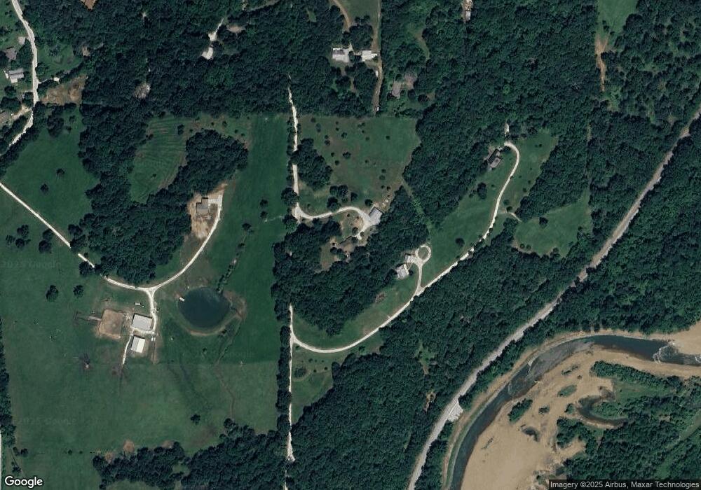
Map
Nearby Homes
- 10149 SE Campbell Rd
- 602 N Centennial Ave
- 10687 Arkansas 156
- 11322 SW Campbell Rd
- 1008 Stockburger St
- 33 Dogwood St
- 1226 N Centennial Ave
- 106 Pleasant St
- 10845 SW Campbell Rd
- 212 Redbud Trail
- 1329 Homestead Ln
- 875 James Place
- 11 N Sycamore Ave
- 345 McGee Rd
- 815 James Place
- 173 Williams Ave
- 0000 Highway 170
- 253 Mckean Ave
- 321 Cedar Springs Place
- 0 W Carrol St
- 640 S Forty Rd
- 766 S Forty Rd
- 766 S Forty Rd
- 0 S Forty Rd Unit 715550
- 11363 Campbell Com Bd Rd
- 313 S 40th Rd
- 311 S Forty Rd
- 11357 Campbell Com Bd Rd
- .87 AC S Forty Rd
- 11664 SE Campbell Rd
- 310 S Forty Rd
- 310 S Forty Rd
- 0 SE Campbell Rd Unit 495017
- 0 SE Campbell Rd Unit 552023
- 0 SE Campbell Rd Unit 657372
- 0 SE Campbell Rd Unit 1071658
- 310 S Forty Rd
- 11776 SE Campbell Wc 63 Rd
- 11353 Campbell Community Building Rd
- 11497 Campbell Rd