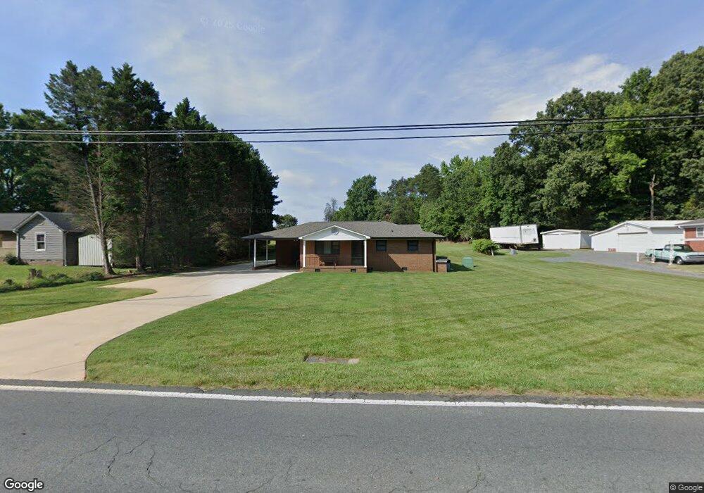
640 Sides Rd Salisbury, NC 28146
Estimated Value: $160,296 - $220,000
--
Bed
1
Bath
1,064
Sq Ft
$188/Sq Ft
Est. Value
About This Home
This home is located at 640 Sides Rd, Salisbury, NC 28146 and is currently estimated at $200,074, approximately $188 per square foot. 640 Sides Rd is a home located in Rowan County with nearby schools including Rockwell Elementary School, Charles C Erwin Middle School, and East Rowan High School.
Ownership History
Date
Name
Owned For
Owner Type
Purchase Details
Closed on
Nov 6, 2017
Sold by
Shaver Ryan D
Bought by
Shaver Drew M
Current Estimated Value
Home Financials for this Owner
Home Financials are based on the most recent Mortgage that was taken out on this home.
Original Mortgage
$82,200
Outstanding Balance
$48,178
Interest Rate
3.83%
Mortgage Type
Small Business Administration
Estimated Equity
$151,896
Purchase Details
Closed on
Sep 28, 2010
Sold by
Peeler Kelly Keith and Peeler Rebecca Lowder
Bought by
Shaver Ryan D
Home Financials for this Owner
Home Financials are based on the most recent Mortgage that was taken out on this home.
Original Mortgage
$45,000
Interest Rate
4.44%
Purchase Details
Closed on
Apr 24, 2008
Sold by
Shaver Tony D and Shaver Nash L
Bought by
Shaver Tony D and Shaver Nash L
Create a Home Valuation Report for This Property
The Home Valuation Report is an in-depth analysis detailing your home's value as well as a comparison with similar homes in the area
Home Values in the Area
Average Home Value in this Area
Purchase History
| Date | Buyer | Sale Price | Title Company |
|---|---|---|---|
| Shaver Drew M | $90,000 | None Available | |
| Shaver Ryan D | $90,000 | None Available | |
| Shaver Tony D | $45,000 | None Available |
Source: Public Records
Mortgage History
| Date | Status | Borrower | Loan Amount |
|---|---|---|---|
| Open | Shaver Drew M | $82,200 | |
| Previous Owner | Shaver Ryan D | $45,000 |
Source: Public Records
Tax History Compared to Growth
Tax History
| Year | Tax Paid | Tax Assessment Tax Assessment Total Assessment is a certain percentage of the fair market value that is determined by local assessors to be the total taxable value of land and additions on the property. | Land | Improvement |
|---|---|---|---|---|
| 2025 | $968 | $144,438 | $28,500 | $115,938 |
| 2024 | $968 | $144,438 | $28,500 | $115,938 |
| 2023 | $968 | $144,438 | $28,500 | $115,938 |
| 2022 | $726 | $97,059 | $17,500 | $79,559 |
| 2021 | $726 | $97,059 | $17,500 | $79,559 |
| 2020 | $726 | $97,059 | $17,500 | $79,559 |
| 2019 | $726 | $97,059 | $17,500 | $79,559 |
| 2018 | $567 | $76,561 | $17,500 | $59,061 |
| 2017 | $567 | $76,561 | $17,500 | $59,061 |
| 2016 | $583 | $76,561 | $17,500 | $59,061 |
| 2015 | $576 | $76,561 | $17,500 | $59,061 |
| 2014 | $582 | $80,848 | $17,500 | $63,348 |
Source: Public Records
Map
Nearby Homes
- 660 Sides Rd
- 1090 Sides St
- 495 Gold Knob Rd
- 170 Lyerly Dr
- 574 Crescent Rd
- 1044 Oak Grove Ln Unit Lot 2
- 0000 Celestial Dr
- 455 Stone Rd
- 175 Birchwood Dr Unit 7
- 165 Birchwood Dr Unit 17
- 7660 Pop Basinger Rd
- 145 Willow Dr
- 1170 Gold Knob Rd
- 130 Delinda Dr
- 0 Cornelius Rd
- 1450 Saint Lukes Church Rd
- 311 Palmer Cir
- 1106 Birch St
- 11165 U S Route 52
- 0 U S Route 52
- 580 Sides Rd
- 680 Sides Rd
- 565 Sides Rd
- 555 Sides Rd
- 1045 Goodfellow Dr
- 115 Sunset St
- 520 Sides Rd
- 245 Gold Knob Rd
- 285 Gold Knob Rd
- 112 Sunset St
- 711 Sides Rd
- 711 Sides Rd
- 1009 Sides St
- 720 Sides Rd
- 345 Gold Knob Rd
- 345 Gold Knob Rd Unit 1
- 280 Gold Knob Rd
- 729 Sides Rd
- 1010 Sides St
- 375 Gold Knob Rd