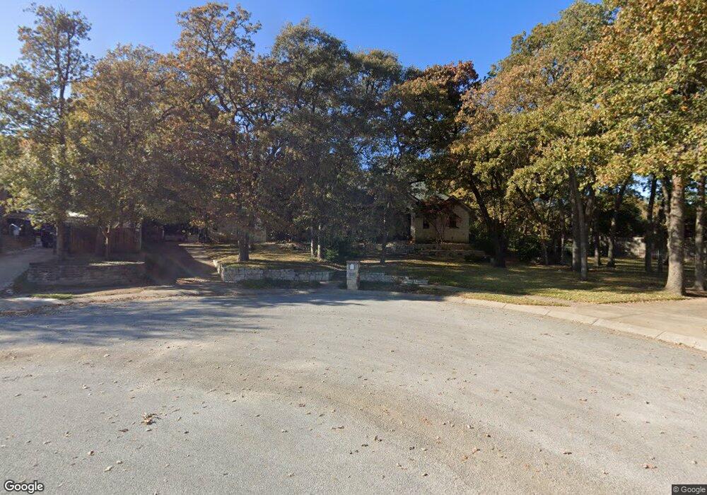
640 Trailhead Dr Southlake, TX 76092
Estimated Value: $849,904 - $1,165,000
3
Beds
2
Baths
3,732
Sq Ft
$270/Sq Ft
Est. Value
About This Home
This home is located at 640 Trailhead Dr, Southlake, TX 76092 and is currently estimated at $1,007,226, approximately $269 per square foot. 640 Trailhead Dr is a home located in Tarrant County with nearby schools including Florence Elementary School, Bear Creek Intermediate School, and Keller Middle School.
Ownership History
Date
Name
Owned For
Owner Type
Purchase Details
Closed on
Aug 5, 2024
Sold by
Laster Ronald E
Bought by
Laster Cindy L
Current Estimated Value
Purchase Details
Closed on
Jan 29, 2004
Sold by
Berthy Bryan Alan and Berthy Jan Marie
Bought by
Laster Ronald E and Laster Cindy
Home Financials for this Owner
Home Financials are based on the most recent Mortgage that was taken out on this home.
Original Mortgage
$90,000
Interest Rate
5%
Mortgage Type
Purchase Money Mortgage
Purchase Details
Closed on
Aug 16, 2002
Sold by
Fred Joyce Mary Myers Enterprises Inc
Bought by
Berthy Bryan Alan and Berthy Jan Marie
Home Financials for this Owner
Home Financials are based on the most recent Mortgage that was taken out on this home.
Original Mortgage
$74,250
Interest Rate
6.33%
Create a Home Valuation Report for This Property
The Home Valuation Report is an in-depth analysis detailing your home's value as well as a comparison with similar homes in the area
Home Values in the Area
Average Home Value in this Area
Purchase History
| Date | Buyer | Sale Price | Title Company |
|---|---|---|---|
| Laster Cindy L | -- | None Listed On Document | |
| Laster Ronald E | -- | Safeco Land Title | |
| Berthy Bryan Alan | -- | Rattikin Title Co |
Source: Public Records
Mortgage History
| Date | Status | Borrower | Loan Amount |
|---|---|---|---|
| Previous Owner | Laster Ronald E | $90,000 | |
| Previous Owner | Berthy Bryan Alan | $74,250 |
Source: Public Records
Tax History Compared to Growth
Tax History
| Year | Tax Paid | Tax Assessment Tax Assessment Total Assessment is a certain percentage of the fair market value that is determined by local assessors to be the total taxable value of land and additions on the property. | Land | Improvement |
|---|---|---|---|---|
| 2025 | $6,253 | $680,000 | $200,000 | $480,000 |
| 2024 | $6,253 | $680,000 | $200,000 | $480,000 |
| 2023 | $6,303 | $847,000 | $200,000 | $647,000 |
| 2022 | $10,746 | $485,896 | $110,000 | $375,896 |
| 2021 | $11,647 | $487,665 | $110,000 | $377,665 |
| 2020 | $11,780 | $489,434 | $110,000 | $379,434 |
| 2019 | $12,533 | $491,201 | $110,000 | $381,201 |
| 2018 | $9,542 | $544,535 | $110,000 | $434,535 |
| 2017 | $13,261 | $508,344 | $110,000 | $398,344 |
| 2016 | $12,238 | $524,492 | $110,000 | $414,492 |
| 2015 | $9,412 | $426,500 | $60,000 | $366,500 |
| 2014 | $9,412 | $426,500 | $60,000 | $366,500 |
Source: Public Records
Map
Nearby Homes
- 404 Branding Iron Ct
- 2912 Sutton Place
- 605 Royal Ln
- 3095 Johnson Rd
- 700 Overland Trail
- 2655 Johnson Rd
- 600 Overland Trail
- 275 Timberline Ln
- 2304 Top Rail Ln
- 146 Jellico Cir
- 16 Marvin St
- 2415 Poplar Ct
- 2405 Fernwood Dr
- 2021 Vista Rd
- 127 Jellico Cir
- 1807 Mesquite Ct
- 2004 Vista View Rd
- 2116 Camden Cir
- 205 Lovegrass Ln
- 1532 Windsor Forest Trail
- 619 Warrington Ln
- 636 Trailhead Dr
- 644 Trailhead Dr
- 617 Warrington Ln
- 625 Katelyn Ln
- 621 Warrington Ln
- 641 Trailhead Dr
- 615 Warrington Ln
- 628 Trailhead Dr
- 645 Trailhead Dr
- 2800 Carrick Ct
- 613 Warrington Ln
- 2801 Carrick Ct
- 624 Trailhead Dr
- 2714 Gallant Ct
- 615 Katelyn Ln
- 2802 Carrick Ct
- 611 Warrington Ln
- 2708 Gallant Ct
- 2803 Carrick Ct