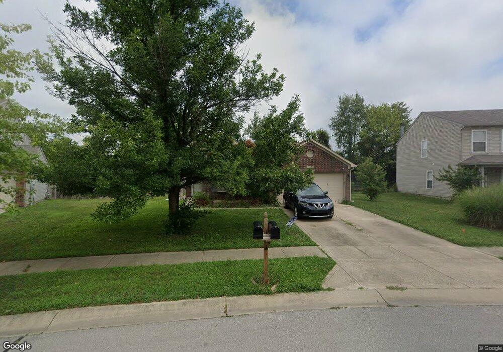
640 Wheat Field Ln Whiteland, IN 46184
Estimated Value: $255,000 - $301,000
3
Beds
2
Baths
1,491
Sq Ft
$182/Sq Ft
Est. Value
About This Home
This home is located at 640 Wheat Field Ln, Whiteland, IN 46184 and is currently estimated at $270,795, approximately $181 per square foot. 640 Wheat Field Ln is a home located in Johnson County with nearby schools including Break-O-Day Elementary School, Clark-Pleasant Middle School, and Whiteland Community High School.
Ownership History
Date
Name
Owned For
Owner Type
Purchase Details
Closed on
Dec 28, 2011
Sold by
Sebold Andrew D
Bought by
Reynolds Matthew J and Reynolds Stacey L Peterson
Current Estimated Value
Home Financials for this Owner
Home Financials are based on the most recent Mortgage that was taken out on this home.
Original Mortgage
$108,789
Outstanding Balance
$74,547
Interest Rate
3.97%
Estimated Equity
$196,248
Purchase Details
Closed on
Jun 24, 2008
Sold by
Mitchell Brian A and Mitchell Bruce Mitchell
Bought by
Sebold Andrew D
Home Financials for this Owner
Home Financials are based on the most recent Mortgage that was taken out on this home.
Original Mortgage
$88,400
Interest Rate
6.1%
Create a Home Valuation Report for This Property
The Home Valuation Report is an in-depth analysis detailing your home's value as well as a comparison with similar homes in the area
Home Values in the Area
Average Home Value in this Area
Purchase History
| Date | Buyer | Sale Price | Title Company |
|---|---|---|---|
| Reynolds Matthew J | -- | First American Title Insuran | |
| Sebold Andrew D | -- | Chicago Title Insurance Co |
Source: Public Records
Mortgage History
| Date | Status | Borrower | Loan Amount |
|---|---|---|---|
| Open | Reynolds Matthew J | $108,789 | |
| Previous Owner | Sebold Andrew D | $88,400 |
Source: Public Records
Tax History Compared to Growth
Tax History
| Year | Tax Paid | Tax Assessment Tax Assessment Total Assessment is a certain percentage of the fair market value that is determined by local assessors to be the total taxable value of land and additions on the property. | Land | Improvement |
|---|---|---|---|---|
| 2025 | $2,311 | $231,000 | $56,000 | $175,000 |
| 2024 | $2,311 | $221,500 | $56,000 | $165,500 |
| 2023 | $2,282 | $219,400 | $56,000 | $163,400 |
| 2022 | $1,949 | $187,700 | $29,900 | $157,800 |
| 2021 | $1,668 | $160,400 | $29,900 | $130,500 |
| 2020 | $1,490 | $142,700 | $29,900 | $112,800 |
| 2019 | $1,373 | $131,700 | $29,900 | $101,800 |
| 2018 | $1,367 | $132,400 | $24,200 | $108,200 |
| 2017 | $1,354 | $135,400 | $24,200 | $111,200 |
| 2016 | $1,306 | $130,600 | $24,200 | $106,400 |
| 2014 | $1,202 | $119,200 | $29,600 | $89,600 |
| 2013 | $1,202 | $120,200 | $29,600 | $90,600 |
Source: Public Records
Map
Nearby Homes
- 1041 Mount Olive Rd
- 551 Greenwood Trace Dr
- 780 Wheat Field Ln
- 638 Harvest Meadow Way
- 57 Oakden Ct
- 53 Oakden Ct
- 528 Genisis Dr
- 6540 N Us Highway 31
- 1108 Warwick Dr
- 1037 Warwick Rd
- 50 Meadow Creek Blvd
- 924 Norfolk Ln
- 915 Norfolk Ln
- Ironwood Plan at Lincoln Place
- Broadmoor Plan at Lincoln Place
- Aspen Plan at Lincoln Place
- 908 Norfolk Ln
- 918 Norfolk Ln
- 190 Tracy Ridge Blvd
- 125 Hilltop Farms Blvd
- 650 Wheat Field Ln
- 630 Wheat Field Ln
- 660 Wheat Field Ln
- 641 Wheat Field Ln
- 620 Wheat Field Ln
- 651 Wheat Field Ln
- 670 Wheat Field Ln
- 661 Wheat Field Ln
- 680 Wheat Field Ln
- 610 Wheat Field Ln
- 671 Wheat Field Ln
- 642 Holly Rose Way
- 652 Holly Rose Way
- 662 Holly Rose Way
- 690 Wheat Field Ln
- 600 Wheat Field Ln
- 672 Holly Rose Way
- 681 Wheat Field Ln
- 682 Holly Rose Way
- 590 Wheat Field Ln