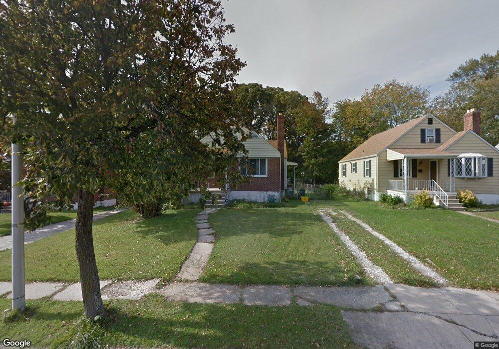
6400 Eastern Pkwy Baltimore, MD 21214
Westfield NeighborhoodEstimated Value: $198,000 - $286,500
Studio
1
Bath
1,334
Sq Ft
$182/Sq Ft
Est. Value
About This Home
This home is located at 6400 Eastern Pkwy, Baltimore, MD 21214 and is currently estimated at $242,250, approximately $181 per square foot. 6400 Eastern Pkwy is a home located in Baltimore City with nearby schools including Glenmount Elementary/Middle School, Booker T. Washington Middle School, and Paul Laurence Dunbar High School.
Ownership History
Date
Name
Owned For
Owner Type
Purchase Details
Closed on
Apr 3, 2003
Sold by
Beaver Dam Properties Inc
Bought by
Kane Shane R X
Current Estimated Value
Purchase Details
Closed on
Jan 12, 2001
Sold by
Secretary Of Housing & Urban
Bought by
Bolling Ronald Anthony
Purchase Details
Closed on
Sep 7, 2000
Sold by
Cole Rhonda D
Bought by
Secretary Of Housing & Urban and Development
Purchase Details
Closed on
Aug 15, 1996
Sold by
Schultz James A
Bought by
Cole Rhonda D
Create a Home Valuation Report for This Property
The Home Valuation Report is an in-depth analysis detailing your home's value as well as a comparison with similar homes in the area
Home Values in the Area
Average Home Value in this Area
Purchase History
| Date | Buyer | Sale Price | Title Company |
|---|---|---|---|
| Kane Shane R X | $75,000 | -- | |
| Beaver Dam Properties Inc | $45,000 | -- | |
| Bolling Ronald Anthony | $70,000 | -- | |
| Secretary Of Housing & Urban | $95,000 | -- | |
| Cole Rhonda D | $90,000 | -- |
Source: Public Records
Tax History
| Year | Tax Paid | Tax Assessment Tax Assessment Total Assessment is a certain percentage of the fair market value that is determined by local assessors to be the total taxable value of land and additions on the property. | Land | Improvement |
|---|---|---|---|---|
| 2025 | $3,899 | $189,933 | -- | -- |
| 2024 | $3,899 | $180,100 | $52,200 | $127,900 |
| 2023 | $3,808 | $176,633 | $0 | $0 |
| 2022 | $3,732 | $173,167 | $0 | $0 |
| 2021 | $4,005 | $169,700 | $52,200 | $117,500 |
| 2020 | $3,539 | $164,033 | $0 | $0 |
| 2019 | $3,388 | $158,367 | $0 | $0 |
| 2018 | $3,352 | $152,700 | $52,200 | $100,500 |
| 2017 | $3,385 | $152,700 | $0 | $0 |
| 2016 | $3,154 | $152,700 | $0 | $0 |
| 2015 | $3,154 | $160,200 | $0 | $0 |
| 2014 | $3,154 | $160,200 | $0 | $0 |
Source: Public Records
Map
Nearby Homes
- 6303 Moyer Ave
- 6201 Carter Ave
- 3300 Westfield Ave
- 6508 Belle Vista Ave
- 6103 Glenoak Ave
- 3043 Pinewood Ave
- 6015 Sefton Ave
- 3302 E Northern Pkwy
- 0 Royston Ave
- 3240 Northway Dr
- 6425 Walther Ave Unit B
- 6427 Walther Ave Unit D
- 3714 Mayberry Ave Unit F
- 3714 Mayberry Ave Unit D
- 3219 Woodring Ave
- 5932 Bertram Ave
- 6431 Walther Ave Unit A
- 6429 Walther Ave Unit F
- 3712 Mayberry Ave Unit A
- 3712 Mayberry Ave Unit C
- 6308 Eastern Pkwy
- 6402 Eastern Pkwy
- 6404 Eastern Pkwy
- 6306 Eastern Pkwy
- 6406 Eastern Pkwy
- 6304 Eastern Pkwy
- 6415 Glenoak Ave
- 6413 Glenoak Ave
- 6417 Glenoak Ave
- 6411 Glenoak Ave
- 6408 Eastern Pkwy
- 6401 Eastern Pkwy
- 6307 Eastern Pkwy
- 6403 Eastern Pkwy
- 6419 Glenoak Ave
- 6405 Eastern Pkwy
- 6302 Eastern Pkwy
- 6305 Eastern Pkwy
- 6421 Glenoak Ave
- 6407 Eastern Pkwy
Your Personal Tour Guide
Ask me questions while you tour the home.