6400 My Rd High Ridge, MO 63049
Estimated Value: $268,000 - $403,000
--
Bed
1
Bath
1,690
Sq Ft
$193/Sq Ft
Est. Value
About This Home
This home is located at 6400 My Rd, High Ridge, MO 63049 and is currently estimated at $326,676, approximately $193 per square foot. 6400 My Rd is a home located in Jefferson County with nearby schools including Northwest High School and St. Anthony School.
Ownership History
Date
Name
Owned For
Owner Type
Purchase Details
Closed on
Feb 24, 2023
Sold by
Mazuranic Glenn S and Lu Ann
Bought by
Sonsthagen Alexander D and Mazuranic Jordan G
Current Estimated Value
Home Financials for this Owner
Home Financials are based on the most recent Mortgage that was taken out on this home.
Original Mortgage
$185,000
Outstanding Balance
$179,195
Interest Rate
6.33%
Mortgage Type
New Conventional
Estimated Equity
$147,481
Purchase Details
Closed on
Sep 7, 2004
Sold by
Mazuranic Glenn S
Bought by
Mazuranic Glenn S and Mazuranic Lu Ann
Home Financials for this Owner
Home Financials are based on the most recent Mortgage that was taken out on this home.
Original Mortgage
$110,000
Interest Rate
5.37%
Mortgage Type
New Conventional
Create a Home Valuation Report for This Property
The Home Valuation Report is an in-depth analysis detailing your home's value as well as a comparison with similar homes in the area
Home Values in the Area
Average Home Value in this Area
Purchase History
| Date | Buyer | Sale Price | Title Company |
|---|---|---|---|
| Sonsthagen Alexander D | -- | True Title | |
| Mazuranic Glenn S | -- | -- |
Source: Public Records
Mortgage History
| Date | Status | Borrower | Loan Amount |
|---|---|---|---|
| Open | Sonsthagen Alexander D | $185,000 | |
| Previous Owner | Mazuranic Glenn S | $110,000 |
Source: Public Records
Tax History Compared to Growth
Tax History
| Year | Tax Paid | Tax Assessment Tax Assessment Total Assessment is a certain percentage of the fair market value that is determined by local assessors to be the total taxable value of land and additions on the property. | Land | Improvement |
|---|---|---|---|---|
| 2025 | $2,506 | $37,700 | $4,500 | $33,200 |
| 2024 | $2,506 | $34,700 | $4,500 | $30,200 |
| 2023 | $2,506 | $34,700 | $4,500 | $30,200 |
| 2022 | $2,494 | $34,700 | $4,500 | $30,200 |
| 2021 | $2,479 | $34,700 | $4,500 | $30,200 |
| 2020 | $2,290 | $31,300 | $4,100 | $27,200 |
| 2019 | $2,288 | $31,300 | $4,100 | $27,200 |
| 2018 | $2,237 | $30,200 | $4,100 | $26,100 |
| 2017 | $2,044 | $30,200 | $4,100 | $26,100 |
| 2016 | $1,966 | $28,800 | $4,100 | $24,700 |
| 2015 | $1,972 | $28,800 | $4,100 | $24,700 |
| 2013 | $1,972 | $28,000 | $3,700 | $24,300 |
Source: Public Records
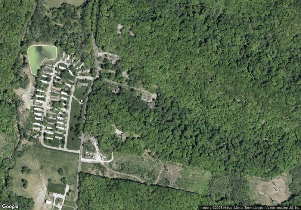
Map
Nearby Homes
- 2460 Huntress Hill Ln
- 0 3 Lot Blk 2 High Ridge Manor Unit MAR24044893
- 45 Rd
- 2715 Royal Oak Dr
- 2149 Linnus Dr
- 2135 Linnus Dr
- 2300 Appaloosa Trail
- 6866 Twin River Rd
- 5707 Werner Dr
- 2436 Hillsboro Valley Park Rd
- 2132 Ridgedale Dr
- 907 Palomino Path
- 6752 Walnut Valley Dr
- 2909 Hilgert Dr
- 2905 Carol Ln
- 152 Brandy Mill Cir Unit 9G
- 168 Brandy Mill Cir Unit 5B
- 172 Brandy Mill Cir Unit 4D
- 2341 Gloucester Rd
- 2801 High Ridge Blvd
- 6432 My Rd
- 2118 Antire Rd
- 2206 Antire Rd
- 2100 Antire Rd
- 2200 Antire Rd
- 2084 Antire Rd
- 2210 Antire Rd
- 0 Jim Weber Rd
- 0 Jim Weber Rd Unit 90031369
- 2010 Antire Rd
- 2231 Antire Rd
- 2231 Antire Rd
- 1996 Antire Rd
- 1982 Antire Rd
- 2021 Antire Rd
- 1995 Antire Rd
- 6730 Antire Rd
- 1980 Antire Rd
- 2304 Little Antire Rd
- 6720 Antire Rd