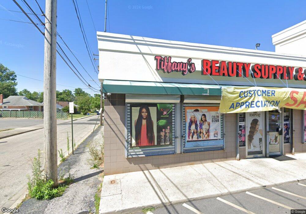
6400 Reisterstown Rd Baltimore, MD 21215
Reisterstown Station NeighborhoodEstimated Value: $2,451,324
--
Bed
--
Bath
10,400
Sq Ft
$236/Sq Ft
Est. Value
About This Home
This home is located at 6400 Reisterstown Rd, Baltimore, MD 21215 and is currently estimated at $2,451,324, approximately $235 per square foot. 6400 Reisterstown Rd is a home located in Baltimore City with nearby schools including Cross Country Elementary School, Booker T. Washington Middle School, and Forest Park High School.
Ownership History
Date
Name
Owned For
Owner Type
Purchase Details
Closed on
Feb 14, 2025
Sold by
Pikesville One Llc
Bought by
Town Holdings Llc
Current Estimated Value
Purchase Details
Closed on
Oct 9, 2002
Sold by
Karf Llc
Bought by
Pikesville One Llc
Purchase Details
Closed on
Nov 29, 1999
Sold by
Metro Centre Limited
Bought by
Karf Llc
Create a Home Valuation Report for This Property
The Home Valuation Report is an in-depth analysis detailing your home's value as well as a comparison with similar homes in the area
Home Values in the Area
Average Home Value in this Area
Purchase History
| Date | Buyer | Sale Price | Title Company |
|---|---|---|---|
| Town Holdings Llc | $2,350,000 | None Listed On Document | |
| Town Holdings Llc | $2,350,000 | None Listed On Document | |
| Pikesville One Llc | $1,080,000 | -- | |
| Karf Llc | $711,500 | -- |
Source: Public Records
Tax History Compared to Growth
Tax History
| Year | Tax Paid | Tax Assessment Tax Assessment Total Assessment is a certain percentage of the fair market value that is determined by local assessors to be the total taxable value of land and additions on the property. | Land | Improvement |
|---|---|---|---|---|
| 2025 | $27,511 | $1,183,000 | -- | -- |
| 2024 | $27,511 | $1,171,300 | $207,800 | $963,500 |
| 2023 | $24,851 | $1,053,000 | $0 | $0 |
| 2022 | $22,059 | $934,700 | $0 | $0 |
| 2021 | $19,267 | $816,400 | $207,800 | $608,600 |
| 2020 | $19,267 | $816,400 | $207,800 | $608,600 |
| 2019 | $19,175 | $816,400 | $207,800 | $608,600 |
| 2018 | $20,497 | $868,500 | $207,800 | $660,700 |
| 2017 | $19,738 | $836,367 | $0 | $0 |
| 2016 | $18,060 | $804,233 | $0 | $0 |
| 2015 | $18,060 | $772,100 | $0 | $0 |
| 2014 | $18,060 | $769,067 | $0 | $0 |
Source: Public Records
Map
Nearby Homes
- 4108 Fords Ln
- 3720 Bartwood Rd
- 3737 Clarks Ln
- 6203 Hopeton Ave
- 6509 Parr Ave
- 3601 Clarks Ln Unit 424
- 3601 Clarks Ln Unit 506
- 3601 Clarks Ln
- 3601 Clarks Ln
- 3601 Clarks Ln
- 3601 Clarks Ln
- 6606 Park Heights Ave Unit 305
- 6606 Park Heights Ave Unit 905
- 6606 Park Heights Ave Unit 615
- 6210 Park Heights Ave Unit 700
- 3803 Menlo Dr
- 6317 Park Heights Ave Unit T9
- 6317 Park Heights Ave Unit 404
- 6317 Park Heights Ave Unit 310
- 6317 Park Heights Ave Unit 306
- 6322 Reisterstown Rd
- 6320 Reisterstown Rd
- 6410 Reisterstown Rd
- 4103 Fords Ln
- 4106 Fords Ln
- 4105 Fords Ln
- 6318 Reisterstown Rd
- 4112 Kenshaw Ave
- 6317 Reisterstown Rd
- 6316 Reisterstown Rd
- 4111 Fords Ln
- 4114 Kenshaw Ave
- 6401 Reisterstown Rd
- 4110 Fords Ln
- 4116 Kenshaw Ave
- 4113 Fords Ln
- 4112 Fords Ln
- 4000 Fords Ln
- 6421 Reisterstown Rd
- 4118 Kenshaw Ave