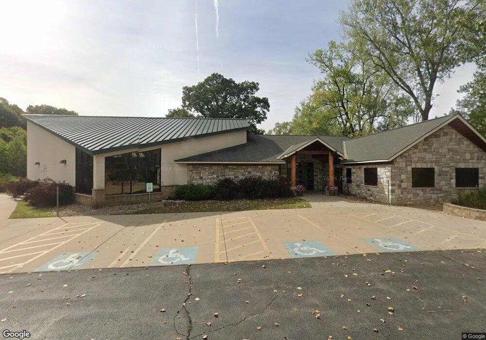
6400 Woodson Rd Raytown, MO 64133
Estimated Value: $135,000
2
Beds
1
Bath
8,968
Sq Ft
$15/Sq Ft
Est. Value
About This Home
This home is located at 6400 Woodson Rd, Raytown, MO 64133 and is currently priced at $135,000, approximately $15 per square foot. 6400 Woodson Rd is a home located in Jackson County with nearby schools including Norfleet Elementary School, Raytown Central Middle School, and Raytown South High School.
Ownership History
Date
Name
Owned For
Owner Type
Purchase Details
Closed on
Jul 26, 2005
Sold by
The Caylor Evangelistic Assn
Bought by
International Church Of The Foursquare G
Current Estimated Value
Home Financials for this Owner
Home Financials are based on the most recent Mortgage that was taken out on this home.
Original Mortgage
$89,500
Interest Rate
5.61%
Mortgage Type
Seller Take Back
Purchase Details
Closed on
Apr 23, 1998
Sold by
Caylor John W and Caylor Mildred
Bought by
The Caylor Evangelistic Assn
Create a Home Valuation Report for This Property
The Home Valuation Report is an in-depth analysis detailing your home's value as well as a comparison with similar homes in the area
Home Values in the Area
Average Home Value in this Area
Purchase History
| Date | Buyer | Sale Price | Title Company |
|---|---|---|---|
| International Church Of The Foursquare G | -- | First American Title Ins Co | |
| The Caylor Evangelistic Assn | -- | -- |
Source: Public Records
Mortgage History
| Date | Status | Borrower | Loan Amount |
|---|---|---|---|
| Closed | International Church Of The Foursquare G | $89,500 |
Source: Public Records
Tax History Compared to Growth
Tax History
| Year | Tax Paid | Tax Assessment Tax Assessment Total Assessment is a certain percentage of the fair market value that is determined by local assessors to be the total taxable value of land and additions on the property. | Land | Improvement |
|---|---|---|---|---|
| 2025 | -- | $612,211 | $116,944 | $495,267 |
| 2024 | -- | $543,200 | $172,832 | $370,368 |
| 2023 | -- | $543,200 | $172,832 | $370,368 |
| 2022 | -- | $434,560 | $138,272 | $296,288 |
| 2021 | $0 | $434,560 | $138,272 | $296,288 |
| 2020 | $0 | $434,368 | $138,272 | $296,096 |
| 2019 | $0 | $434,368 | $138,272 | $296,096 |
| 2018 | $0 | $369,946 | $92,186 | $277,760 |
| 2017 | $0 | $369,946 | $92,186 | $277,760 |
| 2016 | $0 | $337,995 | $70,912 | $267,083 |
| 2014 | -- | $337,995 | $70,912 | $267,083 |
Source: Public Records
Map
Nearby Homes
- 6322 Norwood Ct
- 11601 E 62nd St
- 6407 Harvard Ave
- 6317 Harvard Ave
- 11600 E 62nd St
- 6410 Harvard Ave
- 6423 Harris Ave
- 6100 Englewood Ave
- 11701 E 61st St
- 6710 Woodson Rd
- 10906 E 62nd Terrace
- 11707 E 60th Terrace
- 6309 Hedges Ave
- 6716 Sterling Ave
- 6004 S Claremont Ave
- 11715 E 60th St
- 5933 Sterling Ave
- 10909 E 60th Terrace
- 6207 Hedges Ave
- 6727 Harvard Ave
- 6326 Norwood Ct
- 11601 Little Blue Rd
- 6318 Norwood Ct
- 6314 Norwood Ct
- 11216 E 64th St
- 6327 Norwood Ct
- 6333 Norwood Ct
- 6323 Norwood Ct
- 6319 Norwood Ct
- 11212 E 64th St
- 6424 Woodson Rd
- 11213 E 64th St
- 6315 Norwood Ct
- 6310 Norwood Ct
- 6311 Norwood Ct
- 11212 E 64th Terrace
- 6307 Norwood Ct
- 6307 Sterling Ave
- 11208 E 64th St
- 11209 E 64th St