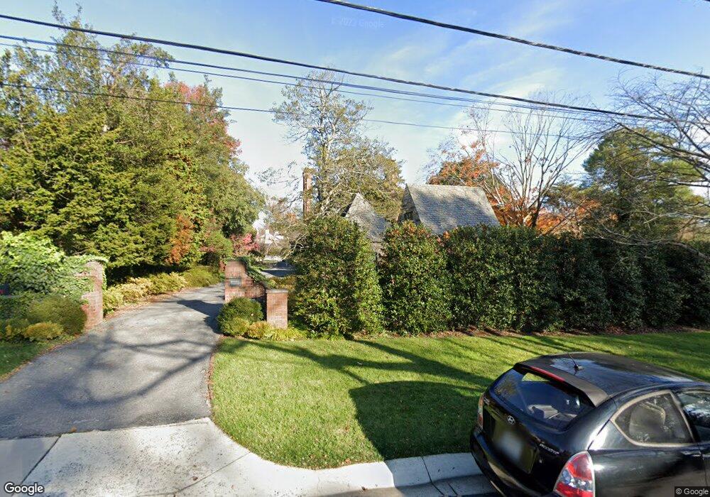
6401 Brookside Dr Chevy Chase, MD 20815
Kenwood Park NeighborhoodEstimated Value: $4,166,000 - $5,181,286
Studio
7
Baths
6,238
Sq Ft
$750/Sq Ft
Est. Value
About This Home
This home is located at 6401 Brookside Dr, Chevy Chase, MD 20815 and is currently estimated at $4,677,095, approximately $749 per square foot. 6401 Brookside Dr is a home located in Montgomery County with nearby schools including Westbrook Elementary School, Westland Middle School, and Bethesda-Chevy Chase High School.
Ownership History
Date
Name
Owned For
Owner Type
Purchase Details
Closed on
Feb 17, 2021
Sold by
Dent Sara Temple Greer and Snyder Jennifer C
Bought by
Dent Sara Temple Greer and Snyder Jennifer C
Current Estimated Value
Purchase Details
Closed on
Dec 1, 2014
Sold by
Greer Margaret Jewett
Bought by
The Margaret J Greer Revocable Trust
Create a Home Valuation Report for This Property
The Home Valuation Report is an in-depth analysis detailing your home's value as well as a comparison with similar homes in the area
Home Values in the Area
Average Home Value in this Area
Purchase History
| Date | Buyer | Sale Price | Title Company |
|---|---|---|---|
| Dent Sara Temple Greer | -- | None Available | |
| The Margaret J Greer Revocable Trust | -- | Paragon Title & Escrow Co |
Source: Public Records
Tax History
| Year | Tax Paid | Tax Assessment Tax Assessment Total Assessment is a certain percentage of the fair market value that is determined by local assessors to be the total taxable value of land and additions on the property. | Land | Improvement |
|---|---|---|---|---|
| 2025 | $32,736 | $3,039,533 | -- | -- |
| 2024 | $32,736 | $2,756,400 | $1,611,300 | $1,145,100 |
| 2023 | $32,022 | $2,756,400 | $1,611,300 | $1,145,100 |
| 2022 | $22,217 | $2,756,400 | $1,611,300 | $1,145,100 |
| 2021 | $17,691 | $2,944,900 | $1,464,800 | $1,480,100 |
| 2020 | $17,691 | $2,944,900 | $1,464,800 | $1,480,100 |
| 2019 | $32,511 | $2,944,900 | $1,464,800 | $1,480,100 |
| 2018 | $36,871 | $3,337,100 | $1,388,900 | $1,948,200 |
| 2017 | $35,631 | $3,168,000 | $0 | $0 |
| 2016 | $27,585 | $2,998,900 | $0 | $0 |
| 2015 | $27,585 | $2,829,800 | $0 | $0 |
| 2014 | $27,585 | $2,829,800 | $0 | $0 |
Source: Public Records
Map
Nearby Homes
- 5208 Woodlawn Ave
- 5205 Woodlawn Ave
- 6413 Garnett Dr
- 5900 Kennedy Dr
- 5104 Fairglen Ln
- 5100 Dorset Ave Unit 111
- 5100 Dorset Ave Unit 506
- 5100 Dorset Ave Unit 314
- 5100 Dorset Ave Unit 100
- 5102 Fairglen Ln
- 5511 Pollard Rd
- 4902 Derussey Pkwy
- 6721 Kenwood Forest Ln
- 4905 Dorset Ave
- 4838 Langdrum Ln
- 5410 Bradley Blvd
- 4911 Falstone Ave
- 4822 Chevy Chase Blvd
- 7113 Fairfax Rd
- 7005 Exfair Rd
- 6407 Brookside Dr
- 6404 Elmwood Rd
- 5250 Woodlawn Ave
- 6404 Brookside Dr
- 6400 Brookside Dr
- 6408 Brookside Dr
- 6401 Elmwood Rd
- 6209 Elmwood Rd
- 5205 Lawn Way
- 6209 Brookside Dr
- 6411 Brookside Dr
- 6408 Elmwood Rd
- 6401 Shadow Rd
- 6204 Elmwood Rd
- 6216 Kennedy Dr
- 6412 Brookside Dr
- 6212 Kennedy Dr
- 6204 Brookside Dr
- 6405 Shadow Rd
- 6205 Elmwood Rd
Your Personal Tour Guide
Ask me questions while you tour the home.