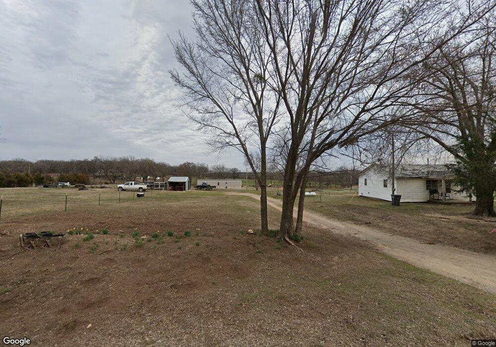
6401 Crosslin Rd Shawnee, OK 74804
Estimated Value: $246,000 - $276,168
3
Beds
2
Baths
1,589
Sq Ft
$165/Sq Ft
Est. Value
About This Home
This home is located at 6401 Crosslin Rd, Shawnee, OK 74804 and is currently estimated at $262,792, approximately $165 per square foot. 6401 Crosslin Rd is a home located in Pottawatomie County.
Ownership History
Date
Name
Owned For
Owner Type
Purchase Details
Closed on
Mar 7, 2005
Sold by
Campbell Claud Allen and Daisy Ellen Campbell Revocable
Bought by
Wagar Gary W and Wagar Stacey J
Current Estimated Value
Home Financials for this Owner
Home Financials are based on the most recent Mortgage that was taken out on this home.
Original Mortgage
$110,000
Interest Rate
5.71%
Mortgage Type
New Conventional
Purchase Details
Closed on
Aug 7, 1991
Sold by
Kays William and Kays Joan
Bought by
Campbell Claud and Campbell Daisy
Create a Home Valuation Report for This Property
The Home Valuation Report is an in-depth analysis detailing your home's value as well as a comparison with similar homes in the area
Home Values in the Area
Average Home Value in this Area
Purchase History
| Date | Buyer | Sale Price | Title Company |
|---|---|---|---|
| Wagar Gary W | $140,000 | None Available | |
| Campbell Claud | -- | -- |
Source: Public Records
Mortgage History
| Date | Status | Borrower | Loan Amount |
|---|---|---|---|
| Closed | Wagar Gary W | $110,000 |
Source: Public Records
Tax History Compared to Growth
Tax History
| Year | Tax Paid | Tax Assessment Tax Assessment Total Assessment is a certain percentage of the fair market value that is determined by local assessors to be the total taxable value of land and additions on the property. | Land | Improvement |
|---|---|---|---|---|
| 2025 | $1,824 | $17,026 | $1,375 | $15,651 |
| 2024 | $1,727 | $16,530 | $1,195 | $15,335 |
| 2023 | $1,727 | $16,048 | $939 | $15,109 |
| 2022 | $1,653 | $15,581 | $906 | $14,675 |
| 2021 | $1,650 | $15,581 | $906 | $14,675 |
| 2020 | $1,623 | $14,687 | $842 | $13,845 |
| 2019 | $1,561 | $14,259 | $806 | $13,453 |
| 2018 | $1,462 | $13,844 | $765 | $13,079 |
| 2017 | $1,420 | $13,441 | $740 | $12,701 |
| 2016 | $1,135 | $13,049 | $699 | $12,350 |
| 2015 | $1,097 | $12,670 | $744 | $11,926 |
| 2014 | $1,062 | $12,301 | $744 | $11,557 |
Source: Public Records
Map
Nearby Homes
- 47110 Garretts Lake Rd
- 46206 Westech Rd
- 10701 Oak Hill Ranch Rd
- 14792 Valley View Rd
- 7 Candlewood Dr
- 13902 Valley View Rd
- 0000 Big Sky Dr
- 44783 Whispering Oaks Dr
- 12501 Big Sky Dr
- 17 Rustic Oak Dr
- 17 Stone River Ranch Dr
- 5 Stone River Ranch Dr
- 11 Stone River Ranch Dr
- 9 Stone River Ranch Dr
- 19 Stone River Ranch Dr
- 12 Stone River Ranch Dr
- 6 Stone River Ranch Dr
- 15 Stone River Ranch Dr
- 4 Stone River Ranch Dr
- 10 Stone River Ranch Dr
- 6313 Crosslin Rd
- 0 Crosslin Rd
- 47207 Garretts Lake Rd
- 6402 Crosslin Rd
- 6307 Crosslin Rd
- 6751 Crosslin Rd
- 6400 Crosslin Rd
- 6504 Crosslin Rd
- 47205 Garretts Lake Rd
- 47206 Westech Rd
- 6229 Crosslin Rd
- 133 Bankhead Ln
- 47104 Westech Rd
- 47112 Westech Rd
- 47209 Garretts Lake Rd
- 47204 Westech Rd
- 39232 Westech Rd
- 5925 Crosslin Rd
- 137 Bankhead Ln
- 46803 Garretts Lake Rd