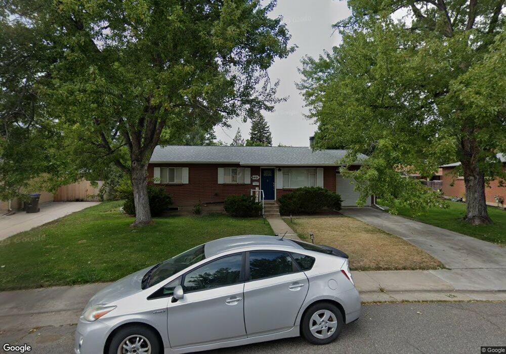
6401 Iris Ct Arvada, CO 80004
Alta Vista NeighborhoodEstimated Value: $534,273 - $610,000
4
Beds
2
Baths
1,719
Sq Ft
$342/Sq Ft
Est. Value
About This Home
This home is located at 6401 Iris Ct, Arvada, CO 80004 and is currently estimated at $587,568, approximately $341 per square foot. 6401 Iris Ct is a home located in Jefferson County with nearby schools including Lawrence Elementary School, Arvada K-8, and North Arvada Middle School.
Ownership History
Date
Name
Owned For
Owner Type
Purchase Details
Closed on
Jul 19, 2021
Sold by
Almquist Carl A and Almquist Jean C
Bought by
Golden Ryan Patrick and Golden Kimberly Ann
Current Estimated Value
Home Financials for this Owner
Home Financials are based on the most recent Mortgage that was taken out on this home.
Original Mortgage
$486,400
Outstanding Balance
$441,535
Interest Rate
2.93%
Mortgage Type
New Conventional
Estimated Equity
$146,033
Purchase Details
Closed on
Dec 15, 1998
Sold by
Almquist Carl A and Almquist Jean C
Bought by
Almquist Carl A and Almquist Jean C
Create a Home Valuation Report for This Property
The Home Valuation Report is an in-depth analysis detailing your home's value as well as a comparison with similar homes in the area
Home Values in the Area
Average Home Value in this Area
Purchase History
| Date | Buyer | Sale Price | Title Company |
|---|---|---|---|
| Golden Ryan Patrick | $512,000 | First American Title | |
| Almquist Carl A | -- | -- |
Source: Public Records
Mortgage History
| Date | Status | Borrower | Loan Amount |
|---|---|---|---|
| Open | Golden Ryan Patrick | $486,400 |
Source: Public Records
Tax History Compared to Growth
Tax History
| Year | Tax Paid | Tax Assessment Tax Assessment Total Assessment is a certain percentage of the fair market value that is determined by local assessors to be the total taxable value of land and additions on the property. | Land | Improvement |
|---|---|---|---|---|
| 2024 | $3,327 | $34,298 | $17,817 | $16,481 |
| 2023 | $3,327 | $34,298 | $17,817 | $16,481 |
| 2022 | $2,723 | $27,800 | $12,952 | $14,848 |
| 2021 | $2,076 | $28,600 | $13,325 | $15,275 |
| 2020 | $1,818 | $25,992 | $11,661 | $14,331 |
| 2019 | $1,794 | $25,992 | $11,661 | $14,331 |
| 2018 | $1,447 | $21,980 | $6,576 | $15,404 |
| 2017 | $1,325 | $21,980 | $6,576 | $15,404 |
| 2016 | $942 | $17,861 | $5,539 | $12,322 |
| 2015 | $733 | $17,861 | $5,539 | $12,322 |
| 2014 | $733 | $14,488 | $4,872 | $9,616 |
Source: Public Records
Map
Nearby Homes
- 6572 Kipling St
- 6134 Lee St
- 6171 Hoyt St
- 6160 Hoyt St
- 6773 Kipling St
- 10693 W 63rd Dr Unit 102
- 10694 W 63rd Place
- 10731 W 63rd Ave Unit A
- 10785 W 63rd Place Unit 202
- 10785 W 63rd Place Unit 105
- 10785 W 63rd Place Unit 101
- 6455 Field St
- 10224 W 68th Way
- 6350 Oak St Unit 306
- 6182 Field St
- 6075 Garrison St
- 6385 Oak St Unit 301
- 6250 Everett Ct Unit E
- 6388 Oak Ct Unit 104
- 10171 W 69th Ave