6401 Irish Dr Wake Forest, NC 27587
Estimated Value: $865,027 - $1,098,000
4
Beds
3
Baths
2,990
Sq Ft
$322/Sq Ft
Est. Value
About This Home
This home is located at 6401 Irish Dr, Wake Forest, NC 27587 and is currently estimated at $962,257, approximately $321 per square foot. 6401 Irish Dr is a home located in Wake County with nearby schools including Sanford Creek Elementary School, Rolesville Middle School, and Rolesville High School.
Ownership History
Date
Name
Owned For
Owner Type
Purchase Details
Closed on
May 25, 2012
Sold by
Taft Steven D and Taft Tami R
Bought by
Eckert Rachael E and Smith Jacob S
Current Estimated Value
Home Financials for this Owner
Home Financials are based on the most recent Mortgage that was taken out on this home.
Original Mortgage
$424,000
Outstanding Balance
$292,940
Interest Rate
3.84%
Mortgage Type
Purchase Money Mortgage
Estimated Equity
$669,317
Create a Home Valuation Report for This Property
The Home Valuation Report is an in-depth analysis detailing your home's value as well as a comparison with similar homes in the area
Home Values in the Area
Average Home Value in this Area
Purchase History
| Date | Buyer | Sale Price | Title Company |
|---|---|---|---|
| Eckert Rachael E | $530,000 | None Available |
Source: Public Records
Mortgage History
| Date | Status | Borrower | Loan Amount |
|---|---|---|---|
| Open | Eckert Rachael E | $424,000 |
Source: Public Records
Tax History Compared to Growth
Tax History
| Year | Tax Paid | Tax Assessment Tax Assessment Total Assessment is a certain percentage of the fair market value that is determined by local assessors to be the total taxable value of land and additions on the property. | Land | Improvement |
|---|---|---|---|---|
| 2025 | -- | $663,650 | $218,765 | $444,885 |
| 2024 | $4,141 | $663,650 | $218,765 | $444,885 |
| 2023 | $3,941 | $502,894 | $208,765 | $294,129 |
| 2022 | $3,652 | $502,894 | $208,765 | $294,129 |
| 2021 | $3,554 | $502,894 | $208,765 | $294,129 |
| 2020 | $3,495 | $502,894 | $208,765 | $294,129 |
| 2019 | $3,501 | $426,261 | $200,765 | $225,496 |
| 2018 | $3,219 | $426,261 | $200,765 | $225,496 |
| 2017 | $3,051 | $426,261 | $200,765 | $225,496 |
| 2016 | $0 | $426,261 | $200,765 | $225,496 |
| 2015 | -- | $481,143 | $249,995 | $231,148 |
| 2014 | -- | $481,143 | $249,995 | $231,148 |
Source: Public Records
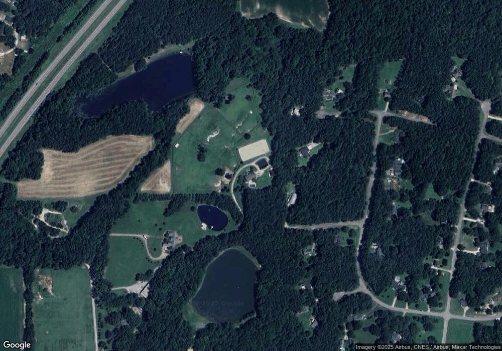
Map
Nearby Homes
- 5728 Stuarts Ridge Rd
- 11633 Louisburg Rd
- 6509 Zebulon Rd
- 6404 Pulley Town Rd
- 4621 N Fork Dr
- 1125 Dartford Green Place
- 207 Weathers St
- 236 Lily Oak Dr
- 233 Lily Oak Dr
- 133 Nortwick Rd
- 6733 Oscar Barham Rd
- 1237 Solace Way
- 1229 Solace Way
- Odyssey Plan at The Point
- Athena Plan at The Point
- Apollo Plan at The Point
- Magellan Plan at The Point
- Discovery Plan at The Point
- Voyager Plan at The Point
- 1213 Solace Way
- 6500 E Whitier St
- 6501 E Whitier St
- 0 Irish Dr
- 6500 Irish Dr
- 5244 Blue Lilac Ln
- 5500 Stuarts Ridge Rd
- 6505 E Whitier St
- 6505 Ingalls Cir
- 5413 Stuarts Ridge Rd
- 5409 Stuarts Ridge Rd
- 5501 Stuarts Ridge Rd
- 6509 E Whitier St
- 5401 Stuarts Ridge Rd
- 6500 Ingalls Cir
- 5509 Stuarts Ridge Rd
- 5508 Stuarts Ridge Rd
- 6513 E Whitier St
- 5517 Thornburg Dr
- 5220 Blue Lilac Ln
- 5505 Thornburg Dr