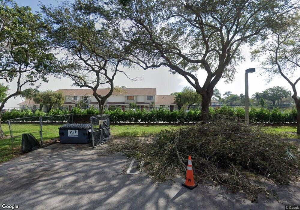
6402 Dockside Cir Greenacres, FL 33463
Estimated Value: $246,000 - $269,000
2
Beds
3
Baths
1,234
Sq Ft
$209/Sq Ft
Est. Value
About This Home
This home is located at 6402 Dockside Cir, Greenacres, FL 33463 and is currently estimated at $257,359, approximately $208 per square foot. 6402 Dockside Cir is a home located in Palm Beach County with nearby schools including Liberty Park Elementary School, L C Swain Middle School, and Montessori Academy of Early Enrichment.
Ownership History
Date
Name
Owned For
Owner Type
Purchase Details
Closed on
Sep 17, 1999
Sold by
Ge Capital Mortgage Svcs Inc
Bought by
Asadourian Sam and Asadourian Sylwia
Current Estimated Value
Home Financials for this Owner
Home Financials are based on the most recent Mortgage that was taken out on this home.
Original Mortgage
$44,400
Outstanding Balance
$12,542
Interest Rate
7.91%
Mortgage Type
New Conventional
Estimated Equity
$244,817
Purchase Details
Closed on
Apr 6, 1999
Sold by
Clerk Of The Court
Bought by
Bank Of New York
Create a Home Valuation Report for This Property
The Home Valuation Report is an in-depth analysis detailing your home's value as well as a comparison with similar homes in the area
Home Values in the Area
Average Home Value in this Area
Purchase History
| Date | Buyer | Sale Price | Title Company |
|---|---|---|---|
| Asadourian Sam | $55,500 | -- | |
| Ge Capital Mortgage Svcs Inc | -- | -- | |
| Bank Of New York | $100 | -- |
Source: Public Records
Mortgage History
| Date | Status | Borrower | Loan Amount |
|---|---|---|---|
| Open | Bank Of New York | $44,400 | |
| Closed | Bank Of New York | $44,400 |
Source: Public Records
Tax History Compared to Growth
Tax History
| Year | Tax Paid | Tax Assessment Tax Assessment Total Assessment is a certain percentage of the fair market value that is determined by local assessors to be the total taxable value of land and additions on the property. | Land | Improvement |
|---|---|---|---|---|
| 2025 | $2,986 | $109,755 | -- | -- |
| 2024 | $2,986 | $99,777 | -- | -- |
| 2023 | $2,764 | $90,706 | $0 | $0 |
| 2022 | $2,409 | $82,460 | $0 | $0 |
| 2021 | $2,182 | $132,887 | $0 | $132,887 |
| 2020 | $2,028 | $121,887 | $0 | $121,887 |
| 2019 | $1,917 | $114,887 | $0 | $114,887 |
| 2018 | $1,704 | $109,792 | $0 | $109,792 |
| 2017 | $1,458 | $92,792 | $0 | $0 |
| 2016 | $1,352 | $46,547 | $0 | $0 |
| 2015 | $1,291 | $42,315 | $0 | $0 |
| 2014 | $1,076 | $38,468 | $0 | $0 |
Source: Public Records
Map
Nearby Homes
- 5903 Channel Dr
- 5806 Channel Dr
- 6053 10th 140 Ave N Unit 140
- 5202 Bayside Dr
- 3405 Poolside Dr
- 5305 Bayside Dr
- 6061 10th Ave N Unit 144
- 6049 Olivewood Cir
- 6013 10th Ave N Unit 208
- 6049 Ambertree Ln
- 6023 10th Ave N Unit 215
- 825 Sky Pine Way Unit H1
- 6199 Seven Springs Blvd
- 826 Sky Pine Way Unit 41
- 5800 Fernley Dr W Unit 3
- 5800 Fernley Dr W Unit 40
- 5800 Fernley Dr W Unit 45
- 5800 Fernley Dr W Unit 18
- 5800 Fernley Dr W Unit 51
- 824 Sky Pine Way Unit 31
- 6403 Dockside Cir
- 6401 Dockside Cir
- 6404 Dockside Cir
- 6405 Dockside Cir Unit 6405
- 6405 Dockside Cir
- 6406 Dockside Cir
- 6407 Dockside Cir
- 6408 Dockside Cir
- 4201 Inlet Cir
- 4201 Inlet Cir
- 4202 Inlet Cir
- 4203 Inlet Cir
- 6302 Dockside Cir
- 4204 Inlet Cir Unit 4204
- 4204 Inlet Cir Unit D
- 4204 Inlet Cir
- 6507 Dockside Cir
- 6502 Dockside Cir
- 6303 Dockside Cir
