6402 Normandy Drive B Mount Laurel, NJ 08054
Estimated Value: $350,000 - $372,000
--
Bed
2
Baths
1,625
Sq Ft
$221/Sq Ft
Est. Value
About This Home
This home is located at 6402 Normandy Drive B, Mount Laurel, NJ 08054 and is currently estimated at $359,367, approximately $221 per square foot. 6402 Normandy Drive B is a home located in Burlington County with nearby schools including Fleetwood Elementary School, Mount Laurel Hartford School, and T.E. Harrington Middle School.
Ownership History
Date
Name
Owned For
Owner Type
Purchase Details
Closed on
Oct 3, 2003
Sold by
Dandeo Frank A and Dandeo Valerie J
Bought by
Resnick Kevin
Current Estimated Value
Home Financials for this Owner
Home Financials are based on the most recent Mortgage that was taken out on this home.
Original Mortgage
$186,660
Outstanding Balance
$85,910
Interest Rate
6.01%
Mortgage Type
VA
Estimated Equity
$273,457
Purchase Details
Closed on
May 31, 2000
Sold by
Golden Kristina and Golden John
Bought by
Dandeo Frank A and Dandeo Valerie J
Home Financials for this Owner
Home Financials are based on the most recent Mortgage that was taken out on this home.
Original Mortgage
$55,000
Interest Rate
8.12%
Mortgage Type
Stand Alone First
Purchase Details
Closed on
Feb 1, 1995
Sold by
Raquet Albert J and Raquet Anne P
Bought by
Golden John
Create a Home Valuation Report for This Property
The Home Valuation Report is an in-depth analysis detailing your home's value as well as a comparison with similar homes in the area
Home Values in the Area
Average Home Value in this Area
Purchase History
| Date | Buyer | Sale Price | Title Company |
|---|---|---|---|
| Resnick Kevin | $189,900 | Security First Title Partner | |
| Dandeo Frank A | $129,000 | Group 21 Title Agency | |
| Golden John | $125,000 | Weichert Title Agency |
Source: Public Records
Mortgage History
| Date | Status | Borrower | Loan Amount |
|---|---|---|---|
| Open | Resnick Kevin | $186,660 | |
| Previous Owner | Dandeo Frank A | $55,000 |
Source: Public Records
Tax History Compared to Growth
Tax History
| Year | Tax Paid | Tax Assessment Tax Assessment Total Assessment is a certain percentage of the fair market value that is determined by local assessors to be the total taxable value of land and additions on the property. | Land | Improvement |
|---|---|---|---|---|
| 2025 | $6,027 | $190,900 | $50,000 | $140,900 |
| 2024 | $5,800 | $190,900 | $50,000 | $140,900 |
| 2023 | $5,800 | $190,900 | $50,000 | $140,900 |
| 2022 | $5,780 | $190,900 | $50,000 | $140,900 |
| 2021 | $5,672 | $190,900 | $50,000 | $140,900 |
| 2020 | $5,561 | $190,900 | $50,000 | $140,900 |
| 2019 | $5,504 | $190,900 | $50,000 | $140,900 |
| 2018 | $5,462 | $190,900 | $50,000 | $140,900 |
| 2017 | $5,320 | $190,900 | $50,000 | $140,900 |
| 2016 | $5,240 | $190,900 | $50,000 | $140,900 |
| 2015 | $5,179 | $190,900 | $50,000 | $140,900 |
| 2014 | $5,128 | $190,900 | $50,000 | $140,900 |
Source: Public Records
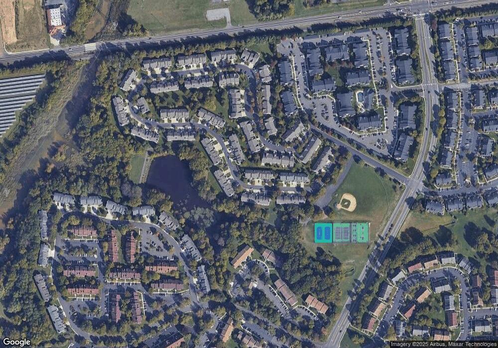
Map
Nearby Homes
- 8006 Normandy Dr Unit 8006
- 6206B Normandy Dr
- 2720B Sussex Ct
- 5407A Aberdeen Dr
- 1102B Sedgefield Dr Unit 1102B
- 3807A Chadbury Rd Unit 3807
- 5108 Halifax Way Unit 5108
- 4906A Dunbarton Rd
- 4107A Chadbury Rd
- 5214C Aberdeen Dr Unit C
- 1406B Saxony Dr Unit 1406
- 1707A Heatherstone Ct
- 9 Sister's Farmstead Rd
- 5116C Aberdeen Dr
- 2605 Saxony Dr Unit 2605
- 4617A Aberdeen Dr
- 4610B Aberdeen Dr Unit 4610
- 6 Lilac Cir
- 4108B Adelaide Dr
- 69 Sister's Farmstead Rd
- 6402 Normandy Dr
- 6402B Normandy Dr Unit 6402
- 6401A Normandy Dr Unit 6401
- 6401 Normandy Dr
- 6403A Normandy Dr
- 6403 Normandy Dr
- 6404 Normandy Dr
- 6404B Normandy Dr
- 6405A Normandy Dr
- 6405 Normandy Dr
- 6406 Normandy Dr
- 6406B Normandy Dr Unit 6406
- 6608B Normandy Dr
- 6407A Normandy Dr
- 6607A Normandy Dr
- 6408 Normandy Dr
- 6408B Normandy Dr Unit 6408
- 8408 Normandy Dr Unit 8408
- 6307A Normandy Dr
- 6606B Normandy Dr Unit 6606