64020 Powers Rd Sturgis, MI 49091
--
Bed
--
Bath
--
Sq Ft
19.08
Acres
About This Home
This home is located at 64020 Powers Rd, Sturgis, MI 49091. 64020 Powers Rd is a home located in St. Joseph County with nearby schools including Burr Oak Elementary School, Burr Oak High School, and Lake Area Christian School.
Ownership History
Date
Name
Owned For
Owner Type
Purchase Details
Closed on
Jan 18, 2012
Sold by
Baker Sharon L
Bought by
Baker Rodney and Rodney Baker Declaration Of Trust
Purchase Details
Closed on
May 15, 2001
Sold by
Baker Dennis O and Baker Sharon L
Bought by
Baker Dennis O Trust 1/2Int
Purchase Details
Closed on
Apr 19, 1996
Sold by
Baker Rodney and Baker Emily
Bought by
Baker Rodney L and Baker Emily
Purchase Details
Closed on
Dec 23, 1993
Sold by
Baker Myrtle L
Bought by
Baker Rodney and Baker Emily
Create a Home Valuation Report for This Property
The Home Valuation Report is an in-depth analysis detailing your home's value as well as a comparison with similar homes in the area
Home Values in the Area
Average Home Value in this Area
Purchase History
| Date | Buyer | Sale Price | Title Company |
|---|---|---|---|
| Baker Rodney | $58,500 | None Available | |
| Baker Dennis O Trust 1/2Int | -- | -- | |
| Baker Rodney L | -- | -- | |
| Baker Rodney | -- | -- |
Source: Public Records
Tax History Compared to Growth
Tax History
| Year | Tax Paid | Tax Assessment Tax Assessment Total Assessment is a certain percentage of the fair market value that is determined by local assessors to be the total taxable value of land and additions on the property. | Land | Improvement |
|---|---|---|---|---|
| 2025 | $928 | $70,500 | $70,500 | $0 |
| 2024 | $322 | $68,300 | $68,300 | $0 |
| 2023 | $307 | $65,700 | $65,700 | $0 |
| 2022 | $0 | $62,600 | $62,600 | $0 |
| 2021 | $841 | $62,900 | $62,900 | $0 |
| 2020 | $808 | $64,700 | $64,700 | $0 |
| 2019 | $793 | $70,500 | $70,500 | $0 |
| 2018 | $698 | $67,600 | $67,600 | $0 |
| 2017 | $702 | $66,800 | $66,800 | $0 |
| 2016 | -- | $70,400 | $70,400 | $0 |
| 2015 | -- | $38,200 | $38,200 | $0 |
| 2014 | -- | $36,700 | $36,700 | $0 |
| 2012 | -- | $37,900 | $37,900 | $0 |
Source: Public Records
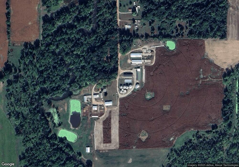
Map
Nearby Homes
- 0 V L M66- 102+ - Unit 24045986
- 28195 Blackberry Ln
- V/L White Pine Dr
- 27810 Maystead Rd
- V/L Banker St
- 66223 Grey Lake Rd
- 28123 Timberly Dr
- 66109 Hideaway Ln
- 27304 Oak Dr
- 61704 Crystal Beach Dr
- 61436 Crystal Beach Dr
- 63890 Middle Colon Rd
- 63810 Middle Colon Rd
- 0 Wright Unit 25058230
- 0 Wright Unit 25058229
- 0 Wright Unit 25058231
- 0 Rainbow Dr
- 3 Wright
- 1100 Sherwood Forrest Trail
- 61984 Bayshore Dr
- 63914 Powers Rd
- 28648 Hackman Rd
- 63841 Powers Rd
- 28480 Hackman Rd
- 28492 Hackman Rd
- 63887 Powers Rd
- 63695 Powers Rd
- 28694 Hackman Rd
- 28246 Hackman Rd
- 63588 Powers Rd
- 63382 Happel Rd
- 28841 Hackman Rd
- 28030 Hackman Rd
- 28090 Hackman Rd
- 28102 Hackman Rd
- 28102 Hackman Rd
- 28749 Hackman Rd
- 63101 M 66
- 63412 Michigan 66
- 63176 M 66