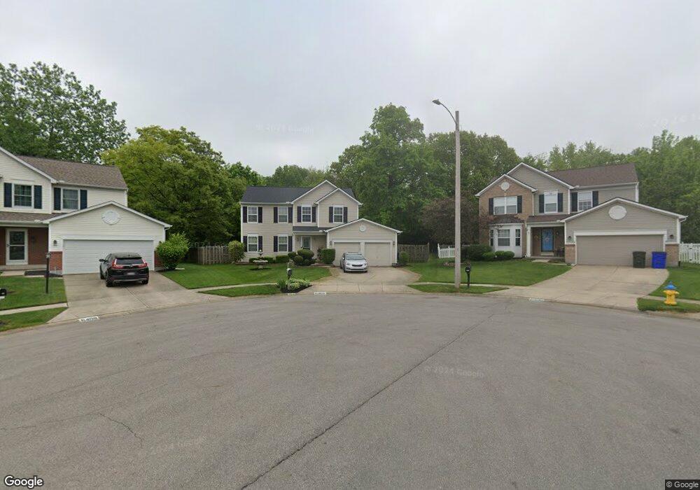
6404 Turchin Place Dayton, OH 45424
Pheasant Hill NeighborhoodEstimated Value: $330,000 - $372,000
3
Beds
3
Baths
2,088
Sq Ft
$168/Sq Ft
Est. Value
About This Home
This home is located at 6404 Turchin Place, Dayton, OH 45424 and is currently estimated at $350,874, approximately $168 per square foot. 6404 Turchin Place is a home located in Montgomery County with nearby schools including Wayne High School.
Ownership History
Date
Name
Owned For
Owner Type
Purchase Details
Closed on
May 27, 1999
Sold by
The Ryland Group Inc
Bought by
Bankston Daniel and Bankston Luewana J
Current Estimated Value
Home Financials for this Owner
Home Financials are based on the most recent Mortgage that was taken out on this home.
Original Mortgage
$157,550
Outstanding Balance
$41,175
Interest Rate
6.94%
Estimated Equity
$309,699
Purchase Details
Closed on
Dec 23, 1998
Sold by
Vector Development Ltd
Bought by
The Ryland Group Inc
Create a Home Valuation Report for This Property
The Home Valuation Report is an in-depth analysis detailing your home's value as well as a comparison with similar homes in the area
Home Values in the Area
Average Home Value in this Area
Purchase History
| Date | Buyer | Sale Price | Title Company |
|---|---|---|---|
| Bankston Daniel | $165,900 | Cornerstone Residential Titl | |
| The Ryland Group Inc | $224,600 | -- |
Source: Public Records
Mortgage History
| Date | Status | Borrower | Loan Amount |
|---|---|---|---|
| Open | Bankston Daniel | $157,550 |
Source: Public Records
Tax History Compared to Growth
Tax History
| Year | Tax Paid | Tax Assessment Tax Assessment Total Assessment is a certain percentage of the fair market value that is determined by local assessors to be the total taxable value of land and additions on the property. | Land | Improvement |
|---|---|---|---|---|
| 2024 | $5,866 | $100,860 | $17,750 | $83,110 |
| 2023 | $5,866 | $100,860 | $17,750 | $83,110 |
| 2022 | $5,772 | $80,050 | $14,090 | $65,960 |
| 2021 | $5,788 | $80,050 | $14,090 | $65,960 |
| 2020 | $5,793 | $80,050 | $14,090 | $65,960 |
| 2019 | $5,749 | $70,030 | $12,250 | $57,780 |
| 2018 | $5,766 | $70,030 | $12,250 | $57,780 |
| 2017 | $5,734 | $70,030 | $12,250 | $57,780 |
| 2016 | $5,422 | $64,660 | $12,250 | $52,410 |
| 2015 | $5,358 | $64,660 | $12,250 | $52,410 |
| 2014 | $5,358 | $64,660 | $12,250 | $52,410 |
| 2012 | -- | $69,860 | $15,400 | $54,460 |
Source: Public Records
Map
Nearby Homes
- 6432 Gander Rd E
- 6463 Ring Neck Dr
- 6456 Pheasant Finch Dr
- 6535 Semmes Ln
- 6669 Lexington Place N
- 6303 Copper Pheasant Dr
- 6286 Pheasant Hill Rd
- 6732 Grovebelle Dr
- 6620 Pheasant Ridge Rd
- 6322 Ring Neck Dr
- 5612 Kitridge Rd
- 4734 Willow Mist Dr
- 5818 Royal Palm Ct
- 6917 Buell Ln
- 5333 Heather Way
- 5474 Bellefontaine Rd Unit 5468
- 5911 Gander Rd E
- 4426 Rainbrook Way
- 5685 Cottonwood Ct
- 4418 Woodpoint Ct
- 6408 Turchin Place
- 6403 Turchin Place
- 6538 Gander Rd E
- 6544 Gander Rd E
- 6550 Gander Rd E
- 6407 Turchin Place
- 6556 Gander Rd E
- 6524 Gander Rd E
- 6518 Gander Rd E
- 6512 Gander Rd E
- 6568 Gander Rd E
- 6543 Gander Rd E
- 6549 Gander Rd E
- 6537 Gander Rd E
- 6555 Gander Rd E
- 6504 Gander Rd E
- 6531 Gander Rd E
- 6563 Gander Rd E
- 6398 Gander Rd E
- 6525 Gander Rd E