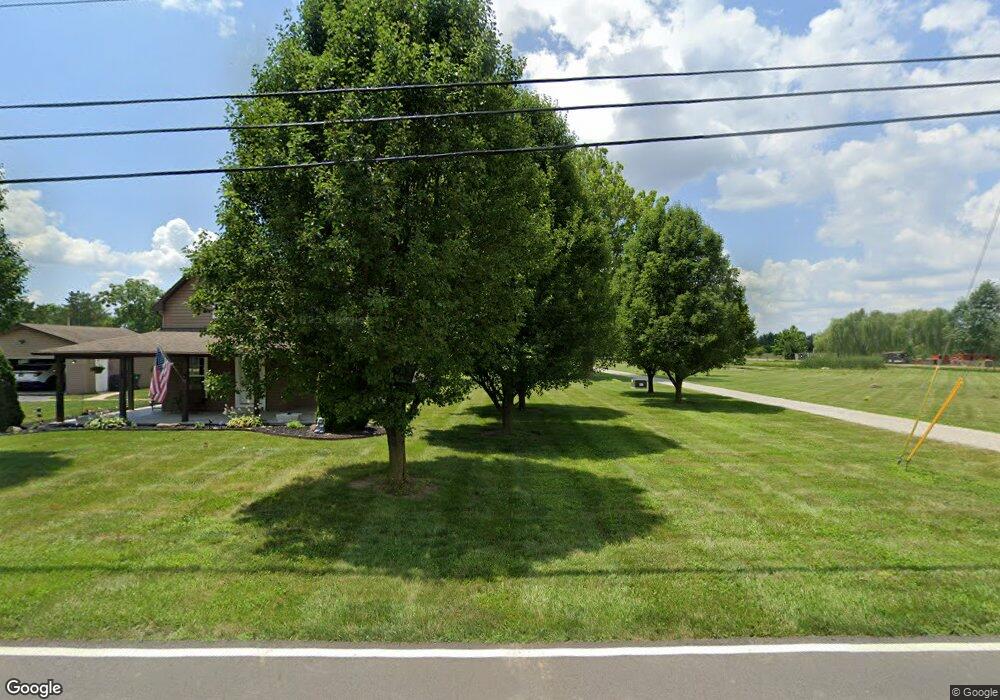
6406 N 75 W Whiteland, IN 46184
Estimated Value: $458,000 - $638,000
3
Beds
3
Baths
2,915
Sq Ft
$199/Sq Ft
Est. Value
About This Home
This home is located at 6406 N 75 W, Whiteland, IN 46184 and is currently estimated at $578,871, approximately $198 per square foot. 6406 N 75 W is a home located in Johnson County with nearby schools including Pleasant Crossing Elementary School, Clark-Pleasant Middle School, and Whiteland Community High School.
Ownership History
Date
Name
Owned For
Owner Type
Purchase Details
Closed on
Jun 14, 2010
Sold by
Davis Laura Michelle
Bought by
Little Shane M and Little Susan E
Current Estimated Value
Home Financials for this Owner
Home Financials are based on the most recent Mortgage that was taken out on this home.
Original Mortgage
$222,500
Outstanding Balance
$149,120
Interest Rate
4.97%
Estimated Equity
$429,751
Create a Home Valuation Report for This Property
The Home Valuation Report is an in-depth analysis detailing your home's value as well as a comparison with similar homes in the area
Home Values in the Area
Average Home Value in this Area
Purchase History
| Date | Buyer | Sale Price | Title Company |
|---|---|---|---|
| Little Shane M | -- | None Available |
Source: Public Records
Mortgage History
| Date | Status | Borrower | Loan Amount |
|---|---|---|---|
| Open | Little Shane M | $222,500 |
Source: Public Records
Tax History Compared to Growth
Tax History
| Year | Tax Paid | Tax Assessment Tax Assessment Total Assessment is a certain percentage of the fair market value that is determined by local assessors to be the total taxable value of land and additions on the property. | Land | Improvement |
|---|---|---|---|---|
| 2025 | $4,553 | $542,800 | $78,300 | $464,500 |
| 2024 | $4,553 | $434,100 | $78,200 | $355,900 |
| 2023 | $4,739 | $422,800 | $77,300 | $345,500 |
| 2022 | $4,751 | $412,800 | $67,300 | $345,500 |
| 2021 | $3,995 | $340,500 | $67,000 | $273,500 |
| 2020 | $3,727 | $309,800 | $64,000 | $245,800 |
| 2019 | $3,557 | $292,900 | $62,300 | $230,600 |
| 2018 | $3,626 | $297,500 | $62,400 | $235,100 |
| 2017 | $3,498 | $291,500 | $62,700 | $228,800 |
| 2016 | $3,457 | $288,900 | $62,800 | $226,100 |
| 2014 | $2,708 | $227,100 | $44,100 | $183,000 |
| 2013 | $2,708 | $222,300 | $42,700 | $179,600 |
Source: Public Records
Map
Nearby Homes
- 3196 Underwood Dr
- 731 W 600 N
- 2916 Lodgepole Dr
- 577 Stobus Dr
- 1137 Chateaugay Ct
- 1119 Chateaugay Ct
- 648 Bluestem Cir
- 647 Bluestem Cir
- 2400 Grand Fir Dr
- Liberty Plan at Crossroads at Southport
- 7331 Deerberg Dr
- Jefferson Plan at Crossroads at Southport
- 7338 Deerberg Dr
- Rushmore Plan at Crossroads at Southport
- Lincoln Plan at Crossroads at Southport
- Washington Plan at Crossroads at Southport
- 256 Bittersweet Dr
- 2545 Wildflower Ln
- 2357 Grand Fir Dr
- 767 Mountain Pine Dr