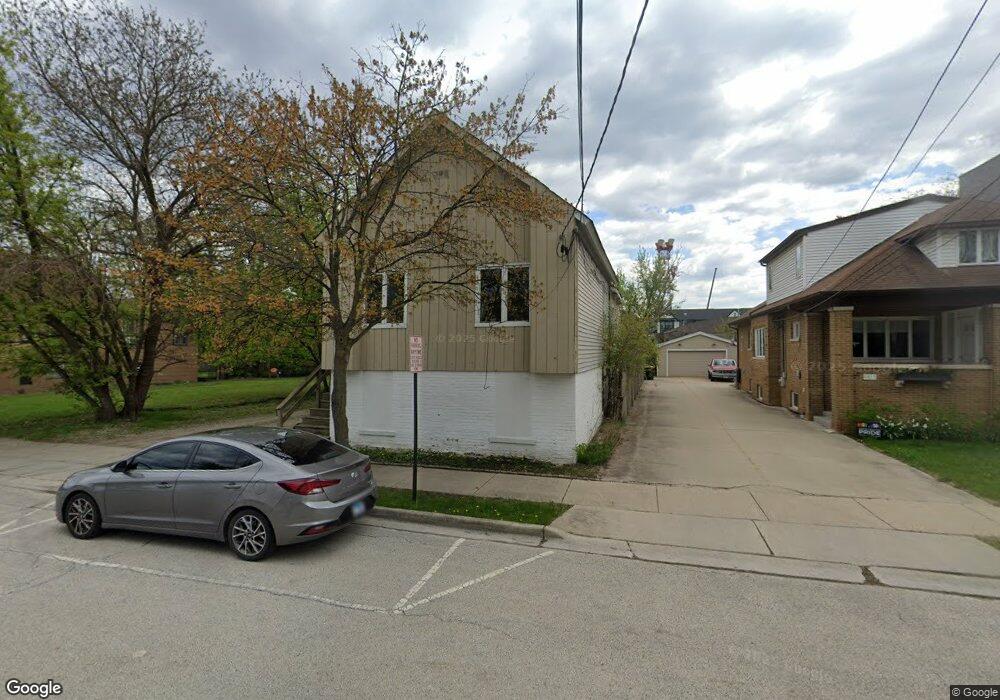
6407 Elm St Morton Grove, IL 60053
Estimated Value: $260,133
--
Bed
--
Bath
975
Sq Ft
$267/Sq Ft
Est. Value
About This Home
This home is located at 6407 Elm St, Morton Grove, IL 60053 and is currently estimated at $260,133, approximately $266 per square foot. 6407 Elm St is a home located in Cook County with nearby schools including Park View Elementary School and St John Brebeuf School.
Ownership History
Date
Name
Owned For
Owner Type
Purchase Details
Closed on
Jun 21, 2001
Sold by
Johnson Kurt and Butterfass Dennis G
Bought by
Roughneck Concrete Drilling & Sawing Co
Current Estimated Value
Purchase Details
Closed on
Jul 1, 1997
Sold by
Johnson Edward C
Bought by
Johnson Edward C and Edward C Johnson Trust
Purchase Details
Closed on
Sep 23, 1993
Sold by
Swanson Patricia A and Swanson John S
Bought by
Johnson Edward C
Create a Home Valuation Report for This Property
The Home Valuation Report is an in-depth analysis detailing your home's value as well as a comparison with similar homes in the area
Home Values in the Area
Average Home Value in this Area
Purchase History
| Date | Buyer | Sale Price | Title Company |
|---|---|---|---|
| Roughneck Concrete Drilling & Sawing Co | $135,000 | -- | |
| Johnson Edward C | -- | -- | |
| Johnson Edward C | $93,333 | -- |
Source: Public Records
Tax History Compared to Growth
Tax History
| Year | Tax Paid | Tax Assessment Tax Assessment Total Assessment is a certain percentage of the fair market value that is determined by local assessors to be the total taxable value of land and additions on the property. | Land | Improvement |
|---|---|---|---|---|
| 2024 | $16,497 | $57,115 | $46,800 | $10,315 |
| 2023 | $15,718 | $57,115 | $46,800 | $10,315 |
| 2022 | $15,718 | $57,115 | $46,800 | $10,315 |
| 2021 | $17,982 | $56,062 | $46,800 | $9,262 |
| 2020 | $17,504 | $56,062 | $46,800 | $9,262 |
| 2019 | $16,694 | $59,624 | $46,800 | $12,824 |
| 2018 | $10,179 | $32,260 | $25,350 | $6,910 |
| 2017 | $9,816 | $30,879 | $25,350 | $5,529 |
| 2016 | $9,253 | $30,879 | $25,350 | $5,529 |
| 2015 | $9,448 | $29,319 | $23,400 | $5,919 |
| 2014 | $9,438 | $29,319 | $23,400 | $5,919 |
| 2013 | $9,222 | $29,318 | $23,400 | $5,918 |
Source: Public Records
Map
Nearby Homes
- 8380 Miami Ave
- 8440 Callie Ave Unit C105
- 8440 Callie Ave Unit C410
- 8425 Callie Ave Unit 62
- 6330 Lincoln Ave Unit 2A
- 8300 Callie Ave Unit F311
- 8535 Callie Ave
- 6166 Mayfair St Unit 33714
- 8650 Ferris Ave Unit 203
- 8542 School St
- 6338 Hennings Ct
- 6330 Hennings Ct
- 6346 Hennings Ct
- 6344 Hennings Ct
- 6342 Hennings Ct
- 6340 Hennings Ct
- 6336 Hennings Ct
- 6332 Hennings Ct
- 6334 Hennings Ct
- 8627 School St