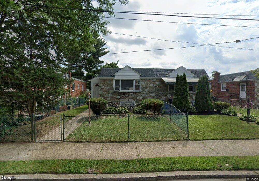
6408 Sprague St Philadelphia, PA 19119
East Mount Airy NeighborhoodEstimated Value: $239,000 - $297,000
3
Beds
2
Baths
1,114
Sq Ft
$242/Sq Ft
Est. Value
About This Home
This home is located at 6408 Sprague St, Philadelphia, PA 19119 and is currently estimated at $269,744, approximately $242 per square foot. 6408 Sprague St is a home located in Philadelphia County with nearby schools including Anna B. Day School, Martin Luther King High School, and West Oak Lane Charter School.
Ownership History
Date
Name
Owned For
Owner Type
Purchase Details
Closed on
Apr 23, 2001
Sold by
Stith Cheryl and Stith Dennis
Bought by
Camille Lucine and Camille Melinda
Current Estimated Value
Home Financials for this Owner
Home Financials are based on the most recent Mortgage that was taken out on this home.
Original Mortgage
$76,400
Outstanding Balance
$27,807
Interest Rate
6.85%
Estimated Equity
$241,937
Create a Home Valuation Report for This Property
The Home Valuation Report is an in-depth analysis detailing your home's value as well as a comparison with similar homes in the area
Home Values in the Area
Average Home Value in this Area
Purchase History
| Date | Buyer | Sale Price | Title Company |
|---|---|---|---|
| Camille Lucine | $95,500 | Lawyers Title Insurance Corp |
Source: Public Records
Mortgage History
| Date | Status | Borrower | Loan Amount |
|---|---|---|---|
| Open | Camille Lucine | $76,400 |
Source: Public Records
Tax History Compared to Growth
Tax History
| Year | Tax Paid | Tax Assessment Tax Assessment Total Assessment is a certain percentage of the fair market value that is determined by local assessors to be the total taxable value of land and additions on the property. | Land | Improvement |
|---|---|---|---|---|
| 2025 | $2,948 | $258,400 | $51,680 | $206,720 |
| 2024 | $2,948 | $258,400 | $51,680 | $206,720 |
| 2023 | $2,948 | $210,600 | $42,120 | $168,480 |
| 2022 | $1,888 | $210,600 | $42,120 | $168,480 |
| 2021 | $1,888 | $0 | $0 | $0 |
| 2020 | $1,888 | $0 | $0 | $0 |
| 2019 | $1,971 | $0 | $0 | $0 |
| 2018 | $2,021 | $0 | $0 | $0 |
| 2017 | $2,021 | $0 | $0 | $0 |
| 2016 | $2,021 | $0 | $0 | $0 |
| 2015 | $1,935 | $0 | $0 | $0 |
| 2014 | -- | $144,400 | $26,076 | $118,324 |
| 2012 | -- | $24,768 | $4,191 | $20,577 |
Source: Public Records
Map
Nearby Homes
- 1100 E Barringer St
- 6507 Belfield Ave
- 6470 Ardleigh St
- 419 E Upsal St
- 6449 Clearview St
- 617 E Brinton St
- 1135 E Johnson St
- 401 E Sharpnack St
- 539 E Brinton St
- 429 E Montana St
- 381 E Cliveden St
- 1211 E Johnson St
- 6484 Anderson St
- 366 E Upsal St
- 6242 Clearview St
- 364 E Upsal St
- 358 E Upsal St
- 265 -267 E Hortter St
- 6221 Chew Ave
- 514 Brinton St
- 6406 Sprague St
- 6410 Sprague St
- 6404 Sprague St
- 6412 Sprague St
- 6402 Sprague St
- 6414 Sprague St
- 951 E Johnson St
- 953 E Johnson St
- 949 E Johnson St
- 6400 Sprague St
- 6416 Sprague St
- 6419 Sprague St Unit B
- 6417 Sprague St
- 1005 E Johnson St
- 947 E Johnson St
- 6418 Sprague St
- 6421 Sprague St
- 6445 Sprague St
- 6417 Boyer St
- 6419 Boyer St