Estimated Value: $320,000 - $361,000
3
Beds
2
Baths
2,191
Sq Ft
$156/Sq Ft
Est. Value
About This Home
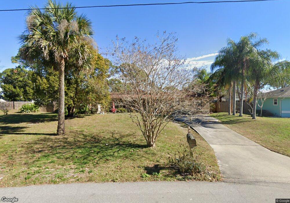
This home is located at 6409 Hunt Rd, Cocoa, FL 32927 and is currently estimated at $342,687, approximately $156 per square foot. 6409 Hunt Rd is a home located in Brevard County with nearby schools including Challenger 7 Elementary School, Space Coast Junior/Senior High School, and Sculptor Charter School.
Ownership History
Date
Name
Owned For
Owner Type
Purchase Details
Closed on
May 25, 2010
Sold by
Orvis Carl A and Orvis Christine A
Bought by
Orvis Carl A
Current Estimated Value
Home Financials for this Owner
Home Financials are based on the most recent Mortgage that was taken out on this home.
Original Mortgage
$118,800
Outstanding Balance
$79,549
Interest Rate
5.03%
Estimated Equity
$263,138
Purchase Details
Closed on
Dec 10, 1998
Sold by
Bankers Tr Co Ca N A
Bought by
Orvis Carl A and Orvis Christine A
Home Financials for this Owner
Home Financials are based on the most recent Mortgage that was taken out on this home.
Original Mortgage
$88,740
Interest Rate
6.9%
Purchase Details
Closed on
Sep 24, 1997
Sold by
Clerk Circuit Court
Bought by
Bankers Tr Co Ca N A and Vendee Mtg Tr 1922 2
Purchase Details
Closed on
Jun 14, 1994
Sold by
Russo Alberta L
Bought by
Russo Jeffrey P
Create a Home Valuation Report for This Property
The Home Valuation Report is an in-depth analysis detailing your home's value as well as a comparison with similar homes in the area
Home Values in the Area
Average Home Value in this Area
Purchase History
| Date | Buyer | Sale Price | Title Company |
|---|---|---|---|
| Orvis Carl A | $50,000 | Lsi Title Agency Inc | |
| Orvis Carl A | $87,000 | -- | |
| Bankers Tr Co Ca N A | -- | -- | |
| Russo Jeffrey P | $40,000 | -- |
Source: Public Records
Mortgage History
| Date | Status | Borrower | Loan Amount |
|---|---|---|---|
| Open | Orvis Carl A | $118,800 | |
| Previous Owner | Orvis Carl A | $88,740 |
Source: Public Records
Tax History
| Year | Tax Paid | Tax Assessment Tax Assessment Total Assessment is a certain percentage of the fair market value that is determined by local assessors to be the total taxable value of land and additions on the property. | Land | Improvement |
|---|---|---|---|---|
| 2025 | $1,425 | $98,120 | -- | -- |
| 2024 | $1,386 | $95,360 | -- | -- |
| 2023 | $1,386 | $92,590 | $0 | $0 |
| 2022 | $1,258 | $87,040 | $0 | $0 |
| 2021 | $1,247 | $84,510 | $0 | $0 |
| 2020 | $1,169 | $83,350 | $0 | $0 |
| 2019 | $1,102 | $81,480 | $0 | $0 |
| 2018 | $1,091 | $79,970 | $0 | $0 |
| 2017 | $1,077 | $78,330 | $0 | $0 |
| 2016 | $1,074 | $76,720 | $18,000 | $58,720 |
| 2015 | $1,081 | $76,190 | $15,000 | $61,190 |
| 2014 | $1,080 | $75,590 | $11,000 | $64,590 |
Source: Public Records
Map
Nearby Homes
- 4590 Ponds Dr
- 6310 Depot Ave
- 0000 Unknown St
- 4470 Ponds Dr
- 4715 Greenhill St
- 5265 Fay Blvd
- 4485 Fay Blvd
- 4440 Fay Blvd
- 4852 Alfred St
- 6210 Stillwater Ave
- 4790 Greenhill St
- 4240 Ponds Dr
- 6162 Rena Ave
- 0000 Grissom Pkwy
- 4975 Fay Blvd
- 4300 Fay Blvd
- 6375 Cable Ave
- 6398 Cable Ave
- 6620 Grissom Pkwy
- 6820 Caliph Ave
Your Personal Tour Guide
Ask me questions while you tour the home.