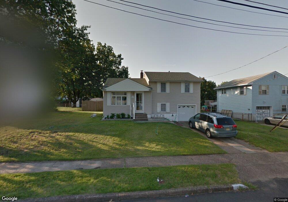
641 Andrea Rd Runnemede, NJ 08078
Estimated Value: $315,051 - $439,000
--
Bed
--
Bath
2,224
Sq Ft
$178/Sq Ft
Est. Value
About This Home
This home is located at 641 Andrea Rd, Runnemede, NJ 08078 and is currently estimated at $395,263, approximately $177 per square foot. 641 Andrea Rd is a home located in Camden County with nearby schools including Mary E. Volz Elementary School, Bingham Elementary School, and Triton High School.
Ownership History
Date
Name
Owned For
Owner Type
Purchase Details
Closed on
Jun 15, 2010
Sold by
Mollo Joseph J and Mollo Lisa A
Bought by
Callaghan Stephen C and Callaghan Kimberly A
Current Estimated Value
Home Financials for this Owner
Home Financials are based on the most recent Mortgage that was taken out on this home.
Original Mortgage
$195,000
Outstanding Balance
$129,465
Interest Rate
4.78%
Mortgage Type
VA
Estimated Equity
$265,798
Purchase Details
Closed on
Oct 30, 1996
Sold by
Watson Elaine C
Bought by
Mollo Vincent and Mollo Lisa A
Create a Home Valuation Report for This Property
The Home Valuation Report is an in-depth analysis detailing your home's value as well as a comparison with similar homes in the area
Home Values in the Area
Average Home Value in this Area
Purchase History
| Date | Buyer | Sale Price | Title Company |
|---|---|---|---|
| Callaghan Stephen C | $225,000 | -- | |
| Mollo Vincent | $85,000 | -- |
Source: Public Records
Mortgage History
| Date | Status | Borrower | Loan Amount |
|---|---|---|---|
| Open | Callaghan Stephen C | $195,000 |
Source: Public Records
Tax History Compared to Growth
Tax History
| Year | Tax Paid | Tax Assessment Tax Assessment Total Assessment is a certain percentage of the fair market value that is determined by local assessors to be the total taxable value of land and additions on the property. | Land | Improvement |
|---|---|---|---|---|
| 2025 | $7,430 | $164,900 | $46,200 | $118,700 |
| 2024 | $7,204 | $164,900 | $46,200 | $118,700 |
| 2023 | $7,204 | $164,900 | $46,200 | $118,700 |
| 2022 | $6,975 | $164,900 | $46,200 | $118,700 |
| 2021 | $6,810 | $164,900 | $46,200 | $118,700 |
| 2020 | $6,743 | $164,900 | $46,200 | $118,700 |
| 2019 | $6,619 | $164,900 | $46,200 | $118,700 |
| 2018 | $6,492 | $164,900 | $46,200 | $118,700 |
| 2017 | $6,326 | $164,900 | $46,200 | $118,700 |
| 2016 | $6,246 | $164,900 | $46,200 | $118,700 |
| 2015 | $6,265 | $164,900 | $46,200 | $118,700 |
| 2014 | $6,184 | $164,900 | $46,200 | $118,700 |
Source: Public Records
Map
Nearby Homes
- 688 Dettmar Terrace
- 613 Williams Terrace
- 600 Williams Ave
- 524 Hirsch Ave
- 850 Orchard Ave
- 206 W 5th Ave
- 115 W 1st Ave
- 525 W Evesham Rd
- 924 W Evesham Rd
- 211 Broadway
- 301 Castlewood Way
- 37 W 5th Ave
- 702 N Brooke Dr
- 21 S Oakland Ave
- 420 Zane Ave
- Essex Plan at Heritage
- Cambridge Plan at Heritage
- Windsor Plan at Heritage
- 405 Melvin Ave
- 37 Whaler Ave