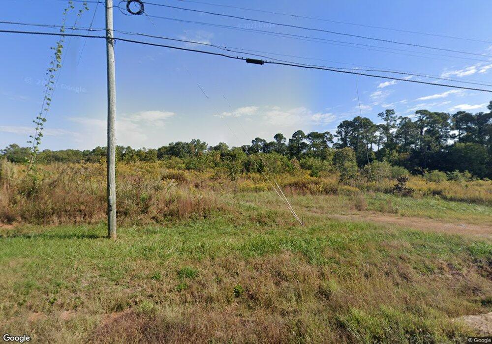
641 Cannon Bridge Rd Demorest, GA 30535
Estimated Value: $2,218,829
3
Beds
2
Baths
1,300
Sq Ft
$1,707/Sq Ft
Est. Value
About This Home
This home is located at 641 Cannon Bridge Rd, Demorest, GA 30535 and is currently estimated at $2,218,829, approximately $1,706 per square foot. 641 Cannon Bridge Rd is a home located in Habersham County with nearby schools including Demorest Elementary School, Wilbanks Middle School, and Habersham Success Academy.
Ownership History
Date
Name
Owned For
Owner Type
Purchase Details
Closed on
Dec 26, 2018
Sold by
Aow3l3 Llc
Bought by
2Bsmdy Llc
Current Estimated Value
Purchase Details
Closed on
Dec 28, 2015
Sold by
Batson Management 1 Llc
Bought by
Aow3l3 Llc
Home Financials for this Owner
Home Financials are based on the most recent Mortgage that was taken out on this home.
Original Mortgage
$845,000
Interest Rate
3.97%
Mortgage Type
New Conventional
Purchase Details
Closed on
Aug 1, 2006
Sold by
Not Provided
Bought by
Batson Management Llc
Create a Home Valuation Report for This Property
The Home Valuation Report is an in-depth analysis detailing your home's value as well as a comparison with similar homes in the area
Home Values in the Area
Average Home Value in this Area
Purchase History
| Date | Buyer | Sale Price | Title Company |
|---|---|---|---|
| 2Bsmdy Llc | -- | -- | |
| Aow3l3 Llc | $850,000 | -- | |
| Batson Management Llc | -- | -- |
Source: Public Records
Mortgage History
| Date | Status | Borrower | Loan Amount |
|---|---|---|---|
| Previous Owner | Aow3l3 Llc | $845,000 |
Source: Public Records
Tax History Compared to Growth
Tax History
| Year | Tax Paid | Tax Assessment Tax Assessment Total Assessment is a certain percentage of the fair market value that is determined by local assessors to be the total taxable value of land and additions on the property. | Land | Improvement |
|---|---|---|---|---|
| 2025 | $4,915 | $203,481 | $203,481 | $0 |
| 2024 | -- | $130,604 | $130,604 | $0 |
| 2023 | $274 | $130,604 | $130,604 | $0 |
| 2022 | $279 | $81,628 | $81,628 | $0 |
| 2021 | $270 | $81,628 | $81,628 | $0 |
| 2020 | $271 | $81,628 | $81,628 | $0 |
| 2019 | $264 | $81,628 | $81,628 | $0 |
| 2018 | $319 | $96,368 | $96,368 | $0 |
| 2017 | $3,503 | $195,912 | $77,092 | $118,820 |
| 2016 | $3,392 | $325,250 | $77,092 | $118,820 |
| 2015 | $5,048 | $489,780 | $77,092 | $118,820 |
| 2014 | $5,131 | $488,650 | $77,092 | $118,368 |
| 2013 | -- | $195,460 | $77,092 | $118,368 |
Source: Public Records
Map
Nearby Homes
- 180 Springbrook Dr
- 161 Springbrook Dr
- 129 Rockwind Way
- 1070 Cannon Bridge Rd
- 159 Hardyville Cir
- 1600 Old Athens Hw
- 110 Bridgeport Dr
- 198 Hickory Ave
- 189 Legacy Dr
- 950 Hancock Rd
- 107 Brasstown Ln
- 3750 Old Cleveland Rd
- 2778 J Warren Rd
- 441 Spiral Hills Dr
- Plan 2131 at Habersham Meadows
- Plan 1709 at Habersham Meadows
- Plan 2307 at Habersham Meadows
- Plan 1902 at Habersham Meadows
- Plan 3119 at Habersham Meadows
- Plan 2408 at Habersham Meadows
- 0 State Hwy 105 Unit 8334156
- 168 Stonebrook Dr
- 265 Robin Ln
- 172 Stonebrook Dr
- 247 Springbrook Dr
- 817 Cannon Bridge Rd
- 107 Midway Dr
- 257 Robin Ln
- 164 Stonebrook Dr
- 140 Midway Dr
- 186 Stonebrook Dr
- 265 Springbrook Dr
- 121 Midway Dr
- 135 Midway Dr
- 157 Stonebrook Dr
- 103 Midway Dr
- 150 Stonebrook Dr
- 233 Robin Ln
- 241 Springbrook Dr
- 217 Stonebrook Dr
