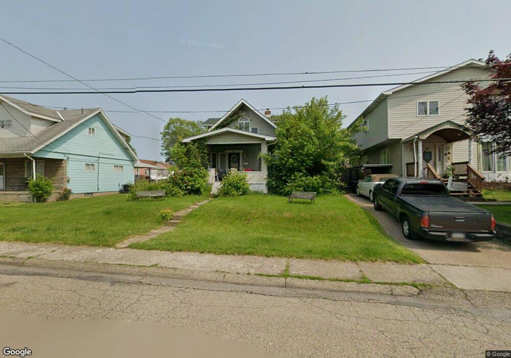
641 Carl Ave New Kensington, PA 15068
Estimated Value: $67,729 - $141,000
--
Bed
--
Bath
1,508
Sq Ft
$78/Sq Ft
Est. Value
About This Home
This home is located at 641 Carl Ave, New Kensington, PA 15068 and is currently estimated at $116,932, approximately $77 per square foot. 641 Carl Ave is a home located in Westmoreland County with nearby schools including Mary Queen of Apostles School.
Ownership History
Date
Name
Owned For
Owner Type
Purchase Details
Closed on
Jan 30, 2003
Sold by
Wells Fargo Bank Minnesota
Bought by
Sell Robert F and Sell Adrienne M
Current Estimated Value
Home Financials for this Owner
Home Financials are based on the most recent Mortgage that was taken out on this home.
Original Mortgage
$50,000
Outstanding Balance
$21,461
Interest Rate
5.98%
Estimated Equity
$95,471
Purchase Details
Closed on
May 20, 2002
Sold by
Barber Larry and Barber Josephine
Bought by
Option One Mtg Loan Trust 2000 & B
Create a Home Valuation Report for This Property
The Home Valuation Report is an in-depth analysis detailing your home's value as well as a comparison with similar homes in the area
Home Values in the Area
Average Home Value in this Area
Purchase History
| Date | Buyer | Sale Price | Title Company |
|---|---|---|---|
| Sell Robert F | $50,000 | -- | |
| Option One Mtg Loan Trust 2000 & B | -- | -- |
Source: Public Records
Mortgage History
| Date | Status | Borrower | Loan Amount |
|---|---|---|---|
| Open | Sell Robert F | $50,000 |
Source: Public Records
Tax History Compared to Growth
Tax History
| Year | Tax Paid | Tax Assessment Tax Assessment Total Assessment is a certain percentage of the fair market value that is determined by local assessors to be the total taxable value of land and additions on the property. | Land | Improvement |
|---|---|---|---|---|
| 2025 | $1,802 | $11,290 | $2,500 | $8,790 |
| 2024 | $1,786 | $11,290 | $2,500 | $8,790 |
| 2023 | $1,690 | $11,290 | $2,500 | $8,790 |
| 2022 | $1,638 | $11,290 | $2,500 | $8,790 |
| 2021 | $1,601 | $11,290 | $2,500 | $8,790 |
| 2020 | $1,567 | $11,290 | $2,500 | $8,790 |
| 2019 | $1,527 | $11,290 | $2,500 | $8,790 |
| 2018 | $1,505 | $11,290 | $2,500 | $8,790 |
| 2017 | $1,482 | $11,290 | $2,500 | $8,790 |
| 2016 | $1,482 | $11,290 | $2,500 | $8,790 |
| 2015 | $1,482 | $11,290 | $2,500 | $8,790 |
| 2014 | $1,424 | $11,290 | $2,500 | $8,790 |
Source: Public Records
Map
Nearby Homes
- 648 Earl Ave
- 715 Carl Ave
- 2108 Hollingsworth St
- 103 Woodstone Ln Unit 34
- 438 Esther Ave
- 613 Clyde St
- 2030 Kimball Ave
- 344 Iroquois Dr
- 381 Camp Ave
- 1407 Drey St Unit 29
- 2004 Woodmont Ave
- 2105 Victoria Ave
- 1802 Kimball Ave
- 2004 Victoria Ave
- 1810 Ridge Ave
- 2112 Kenneth Ave
- 1741 Freeport Rd Unit U
- 1908 Woodmont Ave Unit 29
- 1915 Woodmont Ave
- 408 Craigdell Rd