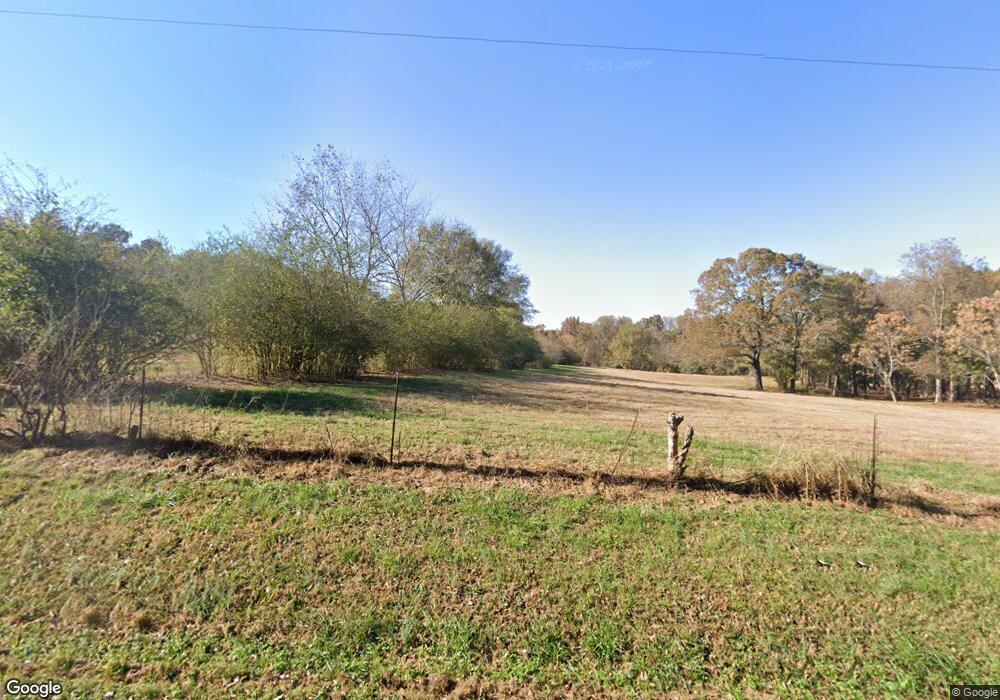
641 Covered Bridge Rd Hoschton, GA 30548
Estimated Value: $414,783 - $726,000
3
Beds
3
Baths
1,710
Sq Ft
$325/Sq Ft
Est. Value
About This Home
This home is located at 641 Covered Bridge Rd, Hoschton, GA 30548 and is currently estimated at $554,946, approximately $324 per square foot. 641 Covered Bridge Rd is a home located in Barrow County with nearby schools including Bramlett Elementary School, Russell Middle School, and Winder-Barrow High School.
Ownership History
Date
Name
Owned For
Owner Type
Purchase Details
Closed on
Apr 30, 2024
Sold by
Hayford Raymond L
Bought by
Hayford Carol Cornelia Tr and Hayford Raymond Leroy Tr
Current Estimated Value
Create a Home Valuation Report for This Property
The Home Valuation Report is an in-depth analysis detailing your home's value as well as a comparison with similar homes in the area
Home Values in the Area
Average Home Value in this Area
Purchase History
| Date | Buyer | Sale Price | Title Company |
|---|---|---|---|
| Hayford Carol Cornelia Tr | -- | -- |
Source: Public Records
Tax History Compared to Growth
Tax History
| Year | Tax Paid | Tax Assessment Tax Assessment Total Assessment is a certain percentage of the fair market value that is determined by local assessors to be the total taxable value of land and additions on the property. | Land | Improvement |
|---|---|---|---|---|
| 2024 | $1,407 | $124,967 | $29,921 | $95,046 |
| 2023 | $1,574 | $124,967 | $29,921 | $95,046 |
| 2022 | $935 | $96,018 | $29,921 | $66,097 |
| 2021 | $705 | $84,043 | $23,937 | $60,106 |
| 2020 | $571 | $74,816 | $19,920 | $54,896 |
| 2019 | $585 | $72,224 | $19,920 | $52,304 |
| 2018 | $1,964 | $72,224 | $19,920 | $52,304 |
| 2017 | $1,949 | $66,944 | $19,920 | $47,024 |
| 2016 | $1,740 | $64,794 | $19,920 | $44,874 |
| 2015 | $1,748 | $64,794 | $19,920 | $44,874 |
| 2014 | $1,559 | $54,634 | $9,761 | $44,874 |
| 2013 | -- | $51,091 | $9,760 | $41,330 |
Source: Public Records
Map
Nearby Homes
- 1136 Lexington Ridge Rd
- 1406 Lull Water Ct
- 840 Champagne Ln
- 79 Hunters Way
- 857 Champagne Ln
- 65 Blackshear Ct
- 339 Conway Trail
- 1381 Larose Dr
- 1381 Larose Dr Unit LOT 55A
- 290 Conway Trail
- 455 Geneva Way
- 428 Geneva Way
- 0 Peachtree Rd Unit 7606286
- 1830 Sauterne Dr
- The Avondale Plan at The Springs of Chateau
- The Addison Plan at The Springs of Chateau
- The Allyson Plan at The Springs of Chateau
- 234 Pecks Ct
- 75 Seneca Way
- 161 Conway Trail
- 651 Covered Bridge Rd
- 0 Covered Bridge Rd Unit 7311126
- 0 Covered Bridge Rd
- 623 Covered Bridge Rd
- 650 Covered Bridge Rd
- 1559 Castle Gibson Rd
- 1082 Old Thompson Mill Rd
- 1583 Georgia Highway 211
- 1583 Highway 211 NW
- 702 Covered Bridge Rd
- 690 Covered Bridge Rd
- 1490 Highway 211 NW
- 1261 Charlie Hall Rd
- 722 Old Hog Mountain Rd
- 664 Covered Bridge Rd
- 560 Covered Bridge Rd
- 735 Old Hog Mountain Rd
- 755 Old Hog Mountain Rd
- 740 Old Hog Mountain Rd
- 1302 Charlie Hall Rd
