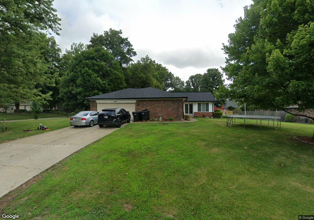
641 Cynthia Ln Whiteland, IN 46184
Estimated Value: $419,000 - $436,420
4
Beds
3
Baths
2,392
Sq Ft
$178/Sq Ft
Est. Value
About This Home
This home is located at 641 Cynthia Ln, Whiteland, IN 46184 and is currently estimated at $425,605, approximately $177 per square foot. 641 Cynthia Ln is a home located in Johnson County with nearby schools including Whiteland Elementary School, Clark-Pleasant Middle School, and Whiteland Community High School.
Ownership History
Date
Name
Owned For
Owner Type
Purchase Details
Closed on
Jun 22, 2020
Sold by
Mcdowell Keanon B
Bought by
Mcdowell Keith A and Rutherford Kimberly Mcdowell
Current Estimated Value
Purchase Details
Closed on
Apr 28, 2017
Sold by
Mcdowell Dwyer Carolyn S
Bought by
Mcdowell Dwyer Carolyn S
Purchase Details
Closed on
Aug 15, 2005
Sold by
Popp Richard H
Bought by
Mcdowell Dwyer Carolyn S
Home Financials for this Owner
Home Financials are based on the most recent Mortgage that was taken out on this home.
Original Mortgage
$134,000
Interest Rate
5.8%
Create a Home Valuation Report for This Property
The Home Valuation Report is an in-depth analysis detailing your home's value as well as a comparison with similar homes in the area
Home Values in the Area
Average Home Value in this Area
Purchase History
| Date | Buyer | Sale Price | Title Company |
|---|---|---|---|
| Mcdowell Keith A | -- | None Available | |
| Mcdowell Dwyer Carolyn S | -- | None Available | |
| Mcdowell Dwyer Carolyn S | -- | None Available |
Source: Public Records
Mortgage History
| Date | Status | Borrower | Loan Amount |
|---|---|---|---|
| Previous Owner | Mcdowell Dwyer Carolyn S | $134,000 |
Source: Public Records
Tax History Compared to Growth
Tax History
| Year | Tax Paid | Tax Assessment Tax Assessment Total Assessment is a certain percentage of the fair market value that is determined by local assessors to be the total taxable value of land and additions on the property. | Land | Improvement |
|---|---|---|---|---|
| 2025 | $4,048 | $383,600 | $51,700 | $331,900 |
| 2024 | $4,048 | $386,000 | $51,700 | $334,300 |
| 2023 | $4,046 | $386,000 | $51,700 | $334,300 |
| 2022 | $2,979 | $284,500 | $51,700 | $232,800 |
| 2021 | $2,629 | $250,100 | $36,900 | $213,200 |
| 2020 | $2,564 | $243,900 | $36,900 | $207,000 |
| 2019 | $2,568 | $244,200 | $36,900 | $207,300 |
| 2018 | $2,189 | $214,500 | $34,200 | $180,300 |
| 2017 | $2,137 | $212,700 | $34,200 | $178,500 |
| 2016 | $2,127 | $212,700 | $34,200 | $178,500 |
| 2014 | $2,006 | $200,600 | $34,200 | $166,400 |
| 2013 | $2,006 | $200,600 | $34,200 | $166,400 |
Source: Public Records
Map
Nearby Homes
- 661 Woodview Dr
- 8 Marys Ct
- 83 Palmetto Dr
- 372 Wert Ln
- 272 Mcnair Rd
- 288 Mcnair Rd
- 254 Halldale Dr
- 241 Deborah Ln
- 4810 N Centerline Rd
- 338 Mcnair Rd
- 800 Beechwood Ct
- 818 Beechwood Ct
- 1139 Beechwood Ct
- 836 Beechwood Ct
- 1047 Beechwood Ct
- 807 Beechwood Ct
- 752 Beechwood Ct
- 899 Beechwood Ct
- 835 Beechwood Ct
- 867 Beechwood Ct