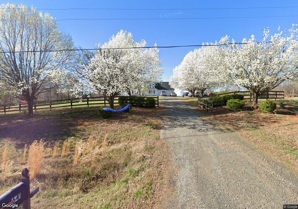
641 Lowe Rd Madison, NC 27025
Estimated Value: $235,000 - $450,000
2
Beds
4
Baths
2,080
Sq Ft
$173/Sq Ft
Est. Value
About This Home
This home is located at 641 Lowe Rd, Madison, NC 27025 and is currently estimated at $359,000, approximately $172 per square foot. 641 Lowe Rd is a home located in Rockingham County with nearby schools including Huntsville Elementary School, John W. Dillard Academy, and Western Rockingham Middle School.
Ownership History
Date
Name
Owned For
Owner Type
Purchase Details
Closed on
Nov 14, 2006
Sold by
Swinney Terra Lyn and Swinney Kerry
Bought by
Swinney Terra Lyn and Swinney Kery
Current Estimated Value
Home Financials for this Owner
Home Financials are based on the most recent Mortgage that was taken out on this home.
Original Mortgage
$200,800
Outstanding Balance
$119,224
Interest Rate
6.37%
Mortgage Type
Adjustable Rate Mortgage/ARM
Estimated Equity
$239,776
Purchase Details
Closed on
Oct 10, 2006
Sold by
Christy Richard R
Bought by
Savage Terra and Swinney Kerry
Home Financials for this Owner
Home Financials are based on the most recent Mortgage that was taken out on this home.
Original Mortgage
$200,800
Outstanding Balance
$119,224
Interest Rate
6.37%
Mortgage Type
Adjustable Rate Mortgage/ARM
Estimated Equity
$239,776
Create a Home Valuation Report for This Property
The Home Valuation Report is an in-depth analysis detailing your home's value as well as a comparison with similar homes in the area
Purchase History
| Date | Buyer | Sale Price | Title Company |
|---|---|---|---|
| Swinney Terra Lyn | -- | None Available | |
| Savage Terra | $251,000 | None Available |
Source: Public Records
Mortgage History
| Date | Status | Borrower | Loan Amount |
|---|---|---|---|
| Open | Savage Terra | $200,800 |
Source: Public Records
Tax History
| Year | Tax Paid | Tax Assessment Tax Assessment Total Assessment is a certain percentage of the fair market value that is determined by local assessors to be the total taxable value of land and additions on the property. | Land | Improvement |
|---|---|---|---|---|
| 2025 | $3,021 | $434,584 | $77,920 | $356,664 |
| 2024 | $2,890 | $434,584 | $77,920 | $356,664 |
| 2023 | $2,890 | $263,552 | $49,586 | $213,966 |
| 2022 | $2,082 | $263,552 | $49,586 | $213,966 |
| 2021 | $2,082 | $263,552 | $49,586 | $213,966 |
| 2020 | $2,082 | $263,552 | $49,586 | $213,966 |
| 2019 | $2,082 | $263,552 | $49,586 | $213,966 |
| 2018 | $1,960 | $247,826 | $52,502 | $195,324 |
| 2017 | $1,960 | $247,826 | $52,502 | $195,324 |
| 2015 | $1,980 | $247,826 | $52,502 | $195,324 |
| 2014 | -- | $247,826 | $52,502 | $195,324 |
Source: Public Records
Map
Nearby Homes
- 624 Lowe Rd
- 1710 Bald Hill Loop
- 221 Fisher Rd
- 270 Morning Glory Rd
- 228 Sitting Rock Dr
- 219 Sitting Rock Dr
- 154 Sitting Rock Dr
- 00 Mccollum Rd
- 183 Providence Trail
- 1295, 1297 & 1350 Angell Rd
- 184 Providence Trail
- 448 Gold Hill Rd
- 4163 Nc Highway 704
- 254 Landreth Rd
- 834 Neal Rd
- 00 Route 220 Hwy
- 105 Levington Way
- 110 Levington Way
- 173 Carlton Rd
- 0 Griffin Rd