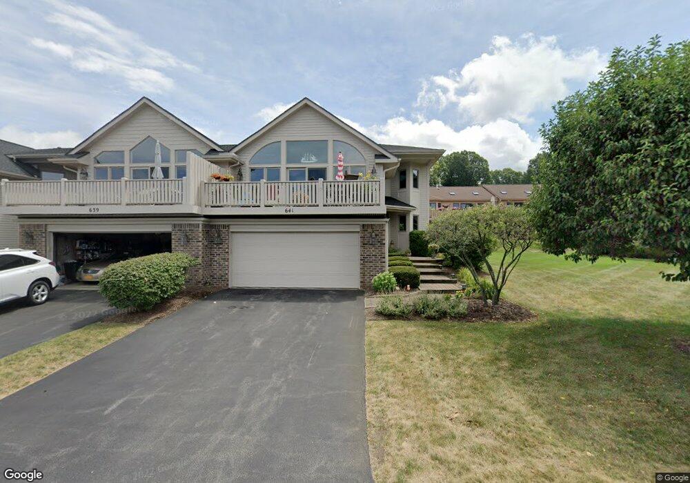
641 Midship Cir Webster, NY 14580
Estimated Value: $510,053 - $595,000
2
Beds
3
Baths
2,163
Sq Ft
$251/Sq Ft
Est. Value
About This Home
This home is located at 641 Midship Cir, Webster, NY 14580 and is currently estimated at $543,763, approximately $251 per square foot. 641 Midship Cir is a home located in Monroe County with nearby schools including DeWitt Road Elementary School, Willink Middle School, and Thomas High School.
Ownership History
Date
Name
Owned For
Owner Type
Purchase Details
Closed on
Jun 10, 2017
Sold by
Tette Troy J and Drabek Tiffany D
Bought by
Nielsen Paul and Nielsen Susan
Current Estimated Value
Purchase Details
Closed on
Sep 10, 2002
Sold by
Lapaglia Anthony J
Bought by
Tettle Richard
Purchase Details
Closed on
Aug 29, 1997
Sold by
Jay Builders Inc
Bought by
Lapaglia Anthony J and Lapaglia Bernadette
Create a Home Valuation Report for This Property
The Home Valuation Report is an in-depth analysis detailing your home's value as well as a comparison with similar homes in the area
Home Values in the Area
Average Home Value in this Area
Purchase History
| Date | Buyer | Sale Price | Title Company |
|---|---|---|---|
| Nielsen Paul | $283,000 | None Available | |
| Tettle Richard | $265,000 | Richard Holtzberg | |
| Lapaglia Anthony J | $211,900 | -- |
Source: Public Records
Tax History
| Year | Tax Paid | Tax Assessment Tax Assessment Total Assessment is a certain percentage of the fair market value that is determined by local assessors to be the total taxable value of land and additions on the property. | Land | Improvement |
|---|---|---|---|---|
| 2024 | $12,730 | $267,700 | $22,000 | $245,700 |
| 2023 | $12,350 | $267,700 | $22,000 | $245,700 |
| 2022 | $12,267 | $267,700 | $22,000 | $245,700 |
| 2021 | $12,147 | $267,700 | $22,000 | $245,700 |
| 2020 | $11,944 | $267,700 | $22,000 | $245,700 |
| 2019 | $7,033 | $267,700 | $22,000 | $245,700 |
| 2018 | $12,140 | $267,700 | $22,000 | $245,700 |
| 2017 | $9,753 | $267,700 | $22,000 | $245,700 |
| 2016 | $16,104 | $267,700 | $22,000 | $245,700 |
| 2015 | -- | $267,700 | $22,000 | $245,700 |
| 2014 | -- | $267,700 | $22,000 | $245,700 |
Source: Public Records
Map
Nearby Homes
- 703 Mariner Cir
- 430 Sundance Trail
- 250 Norwood Cir
- 260 Point Pleasant Rd
- 286 Filon Ave
- 203 Pinehill Dr
- 43 Oberlin St
- 153 Mallard Dr
- 510 Klem Rd
- 91 Birch Hills Dr
- 524 Old Mill Ln
- 207 Coolidge Rd
- 763 Maple Dr
- 409 Newport Rd
- 407 Newport Rd
- 408 Newport Rd
- 621 Brookstone Bend
- Lot #30 Maple Dr
- 675 Maple Dr
- 385 Pemberton Rd
- 641 Midship Cir Unit Pvt
- 639 Midship Cir
- 637 Midship Cir
- 643 Midship Cir
- 643 Midship Cir Unit PVT
- 671 Midship Cir
- 669 Midship Cir
- 645 Midship Cir
- 645 Midship Cir Unit PVT
- 667 Midship Cir
- 673 Midship Cir
- 633 Midship Cir Unit Pvt
- 649 Midship Cir
- 675 Midship Cir
- 675 Midship Cir Unit Pvt
- 640 Midship Cir
- 638 Midship Cir
- 642 Midship Cir
- 636 Midship Cir
- 663 Midship Cir
Your Personal Tour Guide
Ask me questions while you tour the home.