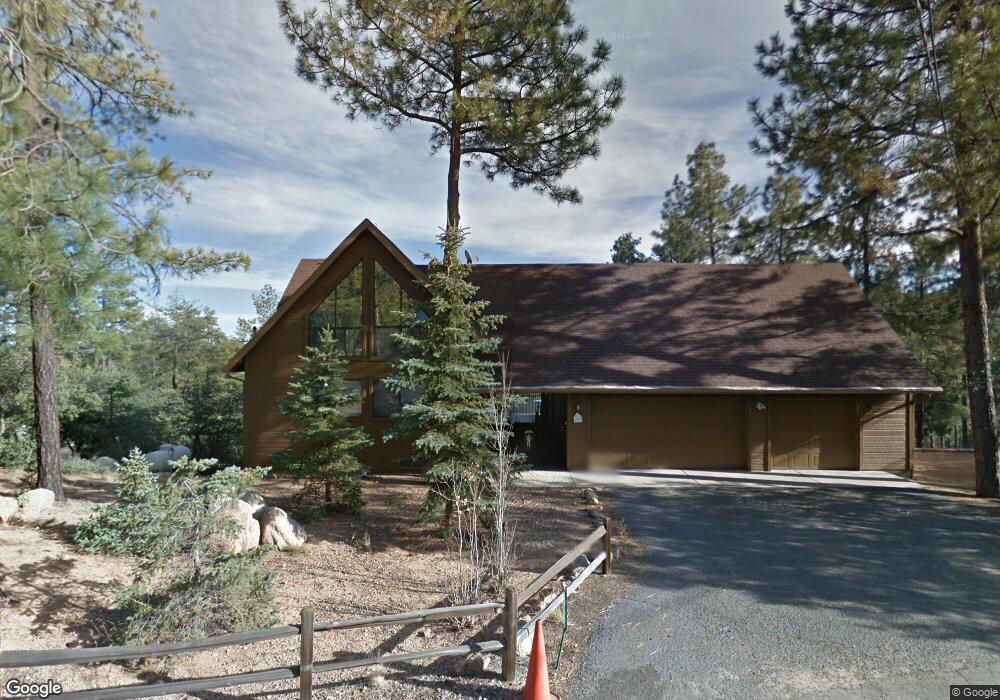
641 N Smoki Dr Prescott, AZ 86305
Estimated Value: $909,000 - $1,019,000
--
Bed
--
Bath
2,818
Sq Ft
$341/Sq Ft
Est. Value
About This Home
This home is located at 641 N Smoki Dr, Prescott, AZ 86305 and is currently estimated at $959,584, approximately $340 per square foot. 641 N Smoki Dr is a home located in Yavapai County with nearby schools including Granite Mountain Middle School, Lincoln Elementary School, and Prescott Mile High Middle School.
Ownership History
Date
Name
Owned For
Owner Type
Purchase Details
Closed on
Oct 14, 2003
Sold by
Baardsen Carl M and Baardsen Kathryn M
Bought by
Baardsen Carl M and Baardsen Kathryn M
Current Estimated Value
Purchase Details
Closed on
Apr 24, 2003
Sold by
Hunt David S and Hunt Betty J
Bought by
Baardsen Carl M and Baardsen Kathryn M
Home Financials for this Owner
Home Financials are based on the most recent Mortgage that was taken out on this home.
Original Mortgage
$273,000
Outstanding Balance
$115,469
Interest Rate
5.54%
Estimated Equity
$844,115
Purchase Details
Closed on
Feb 9, 2001
Sold by
Hunt David S and Hunt Betty J
Bought by
Hunt David S and Hunt Betty J
Purchase Details
Closed on
Mar 29, 1996
Sold by
Vukasovich Kathy
Bought by
Hunt David S and Hunt Betty J
Home Financials for this Owner
Home Financials are based on the most recent Mortgage that was taken out on this home.
Original Mortgage
$152,300
Interest Rate
6.87%
Mortgage Type
Purchase Money Mortgage
Create a Home Valuation Report for This Property
The Home Valuation Report is an in-depth analysis detailing your home's value as well as a comparison with similar homes in the area
Home Values in the Area
Average Home Value in this Area
Purchase History
| Date | Buyer | Sale Price | Title Company |
|---|---|---|---|
| Baardsen Carl M | -- | -- | |
| Baardsen Carl M | $343,000 | Capital Title Agency | |
| Hunt David S | -- | -- | |
| Hunt David S | $36,642 | Transnation Title Ins Co |
Source: Public Records
Mortgage History
| Date | Status | Borrower | Loan Amount |
|---|---|---|---|
| Open | Baardsen Carl M | $273,000 | |
| Previous Owner | Hunt David S | $152,300 |
Source: Public Records
Tax History Compared to Growth
Tax History
| Year | Tax Paid | Tax Assessment Tax Assessment Total Assessment is a certain percentage of the fair market value that is determined by local assessors to be the total taxable value of land and additions on the property. | Land | Improvement |
|---|---|---|---|---|
| 2026 | $5,576 | $92,446 | -- | -- |
| 2024 | $5,173 | $88,918 | -- | -- |
| 2023 | $5,376 | $72,088 | $0 | $0 |
| 2022 | $5,173 | $61,725 | $4,487 | $57,238 |
| 2021 | $5,283 | $59,062 | $4,841 | $54,221 |
| 2020 | $5,177 | $0 | $0 | $0 |
| 2019 | $5,085 | $0 | $0 | $0 |
| 2018 | $3,814 | $0 | $0 | $0 |
| 2017 | $3,624 | $0 | $0 | $0 |
| 2016 | $3,148 | $0 | $0 | $0 |
| 2015 | -- | $0 | $0 | $0 |
| 2014 | $2,951 | $0 | $0 | $0 |
Source: Public Records
Map
Nearby Homes
- 5240 Rock Cove
- 5240 Rock Cove Unit 28
- 5003 W Smoki Dr
- 4080 W Smoki Dr
- 5005 W Smoki Dr
- 932 Rock Haven Unit 1
- 835 Happy Valley Rd
- 1515 N Happy Valley Rd
- 1515 N Happy Valley Rd Unit 3&4
- 5592 W Mountain View Unit 27
- 5592 W Mountain View
- 5588 W Mountain View
- 5792 W Pine Cove
- 1251 Navajo Rd
- 5712 W Sunrise Dr
- 5500 W Lonesome Hawk Dr
- 757 N Valley View Dr
- 1044 N Turkey Run Rd
- 611 N Valley View Dr Unit 23
- 611 N Valley View Dr
- 675 N Smoki Dr
- 668 N Smoki Dr
- 691 N Smoki Dr
- 5223 W Rock Cove
- 4965 N Smoki Dr
- 5259 W Rock Cove
- 715 N Smoki Dr
- 715 N Smoki Dr
- 5224 W Rock Cove
- 735 N Smoki Dr
- 5240 W Rock
- 744 N Hillside Dr
- 5267 W Rock Cove
- 497 Happy Valley Rd
- 751 N Smoki Dr
- 753 N Hillside Dr
- 761 N Hillside Dr
- 773 N Smoki Dr
- 778 N Smoki Dr
- 501 Happy Valley Rd