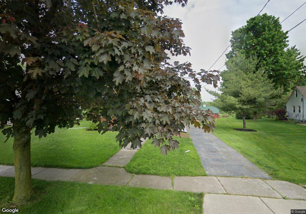
641 Rice St Elmore, OH 43416
Estimated Value: $189,000 - $259,000
3
Beds
2
Baths
1,627
Sq Ft
$129/Sq Ft
Est. Value
About This Home
This home is located at 641 Rice St, Elmore, OH 43416 and is currently estimated at $209,699, approximately $128 per square foot. 641 Rice St is a home located in Ottawa County with nearby schools including Woodmore Elementary School, Woodmore Middle School, and Woodmore High School.
Ownership History
Date
Name
Owned For
Owner Type
Purchase Details
Closed on
Sep 13, 2021
Sold by
Hille Gordon C
Bought by
Moore Melanie M and Moore Jason T
Current Estimated Value
Home Financials for this Owner
Home Financials are based on the most recent Mortgage that was taken out on this home.
Original Mortgage
$160,000
Outstanding Balance
$145,588
Interest Rate
2.8%
Mortgage Type
New Conventional
Estimated Equity
$64,111
Purchase Details
Closed on
Jul 1, 2005
Sold by
Avers C Roxann
Bought by
Hille Gordon C
Home Financials for this Owner
Home Financials are based on the most recent Mortgage that was taken out on this home.
Original Mortgage
$116,400
Interest Rate
5.74%
Mortgage Type
Fannie Mae Freddie Mac
Purchase Details
Closed on
May 10, 1994
Sold by
Weis Woodrow
Bought by
Weis Woodrow W Trustee
Create a Home Valuation Report for This Property
The Home Valuation Report is an in-depth analysis detailing your home's value as well as a comparison with similar homes in the area
Home Values in the Area
Average Home Value in this Area
Purchase History
| Date | Buyer | Sale Price | Title Company |
|---|---|---|---|
| Moore Melanie M | $200,000 | Cottrell Ernest E | |
| Hille Gordon C | $145,500 | -- | |
| Avers C Roxann | -- | -- | |
| Weis Woodrow W Trustee | -- | -- |
Source: Public Records
Mortgage History
| Date | Status | Borrower | Loan Amount |
|---|---|---|---|
| Open | Moore Melanie M | $160,000 | |
| Previous Owner | Hille Gordon C | $116,400 |
Source: Public Records
Tax History
| Year | Tax Paid | Tax Assessment Tax Assessment Total Assessment is a certain percentage of the fair market value that is determined by local assessors to be the total taxable value of land and additions on the property. | Land | Improvement |
|---|---|---|---|---|
| 2024 | $2,862 | $53,302 | $18,039 | $35,263 |
| 2023 | $2,827 | $48,251 | $8,589 | $39,662 |
| 2022 | $2,760 | $48,251 | $8,589 | $39,662 |
| 2021 | $2,849 | $48,250 | $8,590 | $39,660 |
| 2020 | $2,054 | $32,980 | $7,250 | $25,730 |
| 2019 | $2,044 | $33,220 | $7,250 | $25,970 |
| 2018 | $2,845 | $46,780 | $20,810 | $25,970 |
| 2017 | $2,803 | $45,800 | $20,810 | $24,990 |
| 2016 | $2,741 | $45,800 | $20,810 | $24,990 |
| 2015 | $2,915 | $45,800 | $20,810 | $24,990 |
| 2014 | $1,501 | $45,800 | $20,810 | $24,990 |
| 2013 | $1,504 | $45,800 | $20,810 | $24,990 |
Source: Public Records
Map
Nearby Homes
- 0 W Portage River Rd S Unit 6130453
- 20240 W Portage River South Rd
- 1001 Oak St
- 620 Water St
- 420 E 4th St
- 15345 W Kolb Rd
- 14878 W State Route 163
- 1611 N Walker St
- 205 W 4th St
- 612 W Main St
- 415 Fort Findlay Rd
- 2574 County Road 74
- 0 N Walker St
- 207 E 11th St
- 904 Main St
- 21682 State Route 51 W
- 1861 N Opfer-Lentz Rd
- 1217 Main St
- 915 Buckeye St
- 1216 Main St
Your Personal Tour Guide
Ask me questions while you tour the home.