641 Rollins Rd Contoocook, NH 03229
Estimated Value: $865,698 - $1,194,000
5
Beds
3
Baths
3,282
Sq Ft
$309/Sq Ft
Est. Value
About This Home
This home is located at 641 Rollins Rd, Contoocook, NH 03229 and is currently estimated at $1,012,925, approximately $308 per square foot. 641 Rollins Rd is a home located in Merrimack County with nearby schools including Harold Martin School, Maple Street Elementary School, and Hopkinton Middle School.
Ownership History
Date
Name
Owned For
Owner Type
Purchase Details
Closed on
Aug 31, 2009
Sold by
Smith Bradford Paul and Moxon-Smith Anne
Bought by
Locke Andrew K and Scholl Heather J
Current Estimated Value
Home Financials for this Owner
Home Financials are based on the most recent Mortgage that was taken out on this home.
Original Mortgage
$352,400
Interest Rate
5.17%
Mortgage Type
Purchase Money Mortgage
Create a Home Valuation Report for This Property
The Home Valuation Report is an in-depth analysis detailing your home's value as well as a comparison with similar homes in the area
Home Values in the Area
Average Home Value in this Area
Purchase History
| Date | Buyer | Sale Price | Title Company |
|---|---|---|---|
| Locke Andrew K | $440,500 | -- |
Source: Public Records
Mortgage History
| Date | Status | Borrower | Loan Amount |
|---|---|---|---|
| Open | Locke Andrew K | $344,750 | |
| Closed | Locke Andrew K | $352,400 |
Source: Public Records
Tax History
| Year | Tax Paid | Tax Assessment Tax Assessment Total Assessment is a certain percentage of the fair market value that is determined by local assessors to be the total taxable value of land and additions on the property. | Land | Improvement |
|---|---|---|---|---|
| 2025 | $20,018 | $857,300 | $185,800 | $671,500 |
| 2024 | $18,766 | $857,300 | $185,800 | $671,500 |
| 2023 | $17,622 | $503,200 | $102,500 | $400,700 |
| 2022 | $16,061 | $498,000 | $102,500 | $395,500 |
| 2020 | $14,420 | $493,000 | $102,500 | $390,500 |
| 2019 | $14,356 | $493,000 | $102,500 | $390,500 |
| 2018 | $13,827 | $398,000 | $72,500 | $325,500 |
| 2017 | $13,682 | $399,000 | $72,500 | $326,500 |
| 2016 | $13,386 | $399,000 | $72,500 | $326,500 |
| 2015 | $13,414 | $399,000 | $72,500 | $326,500 |
| 2014 | $12,991 | $399,000 | $72,500 | $326,500 |
| 2013 | $11,378 | $395,900 | $98,200 | $297,700 |
Source: Public Records
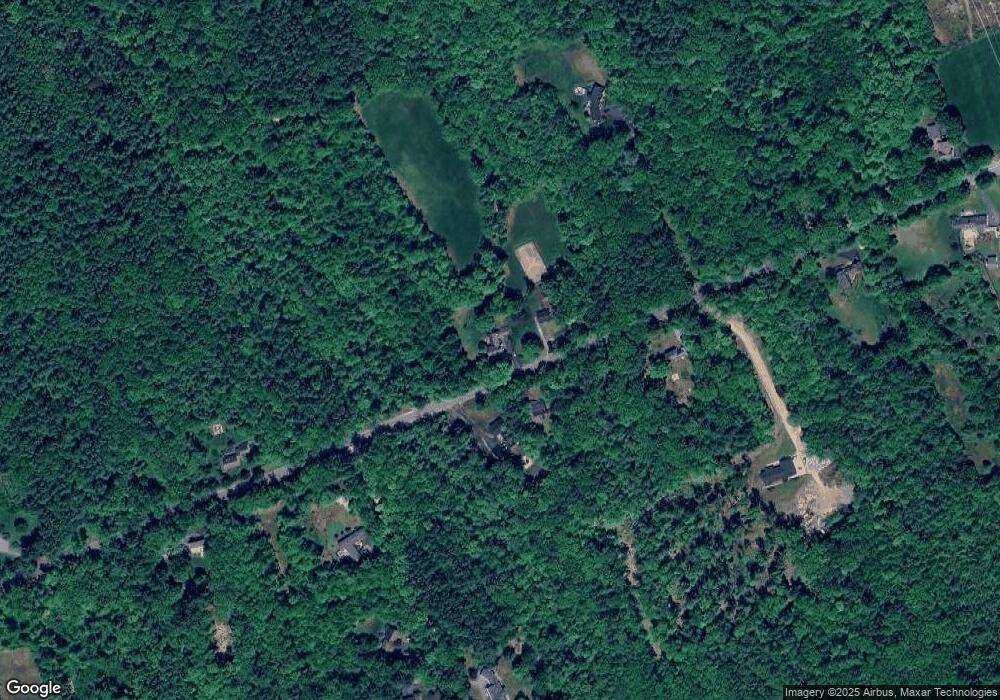
Map
Nearby Homes
- 36 Old Henniker Rd
- 21 Gould Hill Rd
- 6 Reserve Place
- 211 Hedgerose Ln
- 541 South Rd
- 1 Deer Track Ln
- 68 Woodwells Garrison Rd
- 22 Indian Ridge Rd
- 464 Irish Hill Rd
- 455 Maple St
- 453 Maple St
- 82 Penacook Rd
- 56 Maple St Unit C
- 1136 Penacook Rd
- 186 Carter Hill Rd
- 5 Pamela Dr
- 67 Stacey Dr
- 18 Stacey Dr
- 306 River Grant Dr
- 100 Stacey Dr
- 648 Rollins Rd
- 0 Corner of Rollins & Crowell Roads Unit 2767845
- 622 Rollins Rd
- 688 Rollins Rd
- 683 Rollins Rd
- 537 Crowell Rd
- 549 Rollins Rd
- 694 Rollins Rd
- 519 Crowell Rd
- 474 Crowell Rd
- 744 Rollins Rd
- 526 Rollins Rd
- 485 Crowell Rd
- 445 Crowell Rd
- 462 Crowell Rd
- 755 Rollins Rd
- Lot 24 Rollins Rd
- 780 Rollins Rd
- 471 Rollins Rd
- 429 Crowell Rd
Your Personal Tour Guide
Ask me questions while you tour the home.