641 Springbrook Cir Unit 39 Deforest, WI 53532
Estimated Value: $404,000 - $480,000
Studio
3
Baths
--
Sq Ft
596,424
Sq Ft Lot
About This Home
This home is located at 641 Springbrook Cir Unit 39, Deforest, WI 53532 and is currently estimated at $444,821. 641 Springbrook Cir Unit 39 is a home located in Dane County with nearby schools including Yahara Elementary School, DeForest Middle School, and DeForest High School.
Ownership History
Date
Name
Owned For
Owner Type
Purchase Details
Closed on
Oct 16, 2020
Sold by
Dahms Jacqueline R and Noltemeyer Barbara A
Bought by
Patries Kenneth L and Patries Margaret P
Current Estimated Value
Home Financials for this Owner
Home Financials are based on the most recent Mortgage that was taken out on this home.
Original Mortgage
$294,500
Outstanding Balance
$258,451
Interest Rate
2.8%
Mortgage Type
New Conventional
Estimated Equity
$186,370
Create a Home Valuation Report for This Property
The Home Valuation Report is an in-depth analysis detailing your home's value as well as a comparison with similar homes in the area
Home Values in the Area
Average Home Value in this Area
Purchase History
| Date | Buyer | Sale Price | Title Company |
|---|---|---|---|
| Patries Kenneth L | $310,000 | None Available |
Source: Public Records
Mortgage History
| Date | Status | Borrower | Loan Amount |
|---|---|---|---|
| Open | Patries Kenneth L | $294,500 |
Source: Public Records
Tax History
| Year | Tax Paid | Tax Assessment Tax Assessment Total Assessment is a certain percentage of the fair market value that is determined by local assessors to be the total taxable value of land and additions on the property. | Land | Improvement |
|---|---|---|---|---|
| 2025 | $6,529 | $388,000 | $50,000 | $338,000 |
| 2023 | $5,851 | $353,200 | $45,000 | $308,200 |
| 2022 | $5,755 | $334,600 | $35,000 | $299,600 |
| 2021 | $5,983 | $308,600 | $35,000 | $273,600 |
| 2020 | $5,786 | $283,100 | $35,000 | $248,100 |
| 2019 | $5,482 | $272,300 | $35,000 | $237,300 |
| 2018 | $4,583 | $230,100 | $35,000 | $195,100 |
| 2017 | $4,420 | $230,100 | $35,000 | $195,100 |
| 2016 | $4,447 | $230,100 | $35,000 | $195,100 |
| 2015 | $4,349 | $209,500 | $35,000 | $174,500 |
| 2014 | $4,267 | $209,500 | $35,000 | $174,500 |
| 2013 | $4,458 | $209,500 | $35,000 | $174,500 |
Source: Public Records
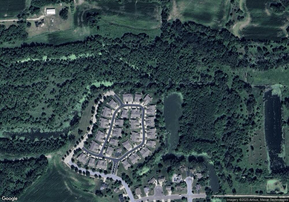
Map
Nearby Homes
- 608 Springbrook Cir
- 601 Seminole Way
- 185 N Lexington Pkwy
- 413 N Stevenson St
- 127 Carriage Way Unit C13
- 620 Acker Pkwy
- 404 Anderson St
- 216 Reigstad St
- 837 Valley Dr
- 413 E Lincoln Dr
- 392 Campbell Hill Ct
- 4325 Hawk Trail
- 520 E Holum St
- 612 Park Ave
- 404 Scott Dr
- 993 Clover Ln
- 117 Crooked Tree Cir
- 516 Woodvale Dr
- Lot 7 & 8 Johnson St
- 4117 Bear Tree Pkwy
- 641 Springbrook Cir
- 639 Springbrook Cir
- 643 Springbrook Cir Unit 40
- 645 Springbrook Cir
- 637 Springbrook Cir
- 635 Springbrook Cir
- 633 Springbrook Cir
- 647 Springbrook Cir Unit 45
- 620 Springbrook Cir
- 649 Springbrook Cir
- 622 Springbrook Cir Unit 43
- 622 Springbrook Cir
- 631 Springbrook Cir
- 624 Springbrook Cir Unit 44
- 651 Springbrook Cir Unit 47
- 651 Springbrook Cir
- 629 Springbrook Cir
- 627 Springbrook Cir
- 626 Springbrook Cir Unit 48
- 618 Springbrook Cir Unit 31
Your Personal Tour Guide
Ask me questions while you tour the home.