641 W Scott Dr Payson, AZ 85541
Estimated Value: $420,000 - $481,000
3
Beds
2
Baths
1,056
Sq Ft
$425/Sq Ft
Est. Value
About This Home
This home is located at 641 W Scott Dr, Payson, AZ 85541 and is currently estimated at $448,773, approximately $424 per square foot. 641 W Scott Dr is a home located in Gila County with nearby schools including Julia Randall Elementary School, Payson Elementary School, and Rim Country Middle School.
Ownership History
Date
Name
Owned For
Owner Type
Purchase Details
Closed on
Jun 16, 2009
Sold by
Mitchell Robert W and Mitchell Kimberly M
Bought by
Mccracken James A
Current Estimated Value
Home Financials for this Owner
Home Financials are based on the most recent Mortgage that was taken out on this home.
Original Mortgage
$191,468
Outstanding Balance
$121,363
Interest Rate
4.83%
Mortgage Type
New Conventional
Estimated Equity
$327,410
Create a Home Valuation Report for This Property
The Home Valuation Report is an in-depth analysis detailing your home's value as well as a comparison with similar homes in the area
Home Values in the Area
Average Home Value in this Area
Purchase History
| Date | Buyer | Sale Price | Title Company |
|---|---|---|---|
| Mccracken James A | $195,000 | Pioneer Title Agency |
Source: Public Records
Mortgage History
| Date | Status | Borrower | Loan Amount |
|---|---|---|---|
| Open | Mccracken James A | $191,468 |
Source: Public Records
Tax History Compared to Growth
Tax History
| Year | Tax Paid | Tax Assessment Tax Assessment Total Assessment is a certain percentage of the fair market value that is determined by local assessors to be the total taxable value of land and additions on the property. | Land | Improvement |
|---|---|---|---|---|
| 2025 | $2,409 | -- | -- | -- |
| 2024 | $2,409 | $24,388 | $5,428 | $18,960 |
| 2023 | $2,409 | $19,271 | $4,796 | $14,475 |
| 2022 | $2,315 | $18,470 | $3,995 | $14,475 |
| 2021 | $2,365 | $18,470 | $3,995 | $14,475 |
| 2020 | $2,389 | $0 | $0 | $0 |
| 2019 | $2,284 | $0 | $0 | $0 |
| 2018 | $2,175 | $0 | $0 | $0 |
| 2017 | $2,078 | $0 | $0 | $0 |
| 2016 | $2,066 | $0 | $0 | $0 |
| 2015 | $2,290 | $0 | $0 | $0 |
Source: Public Records
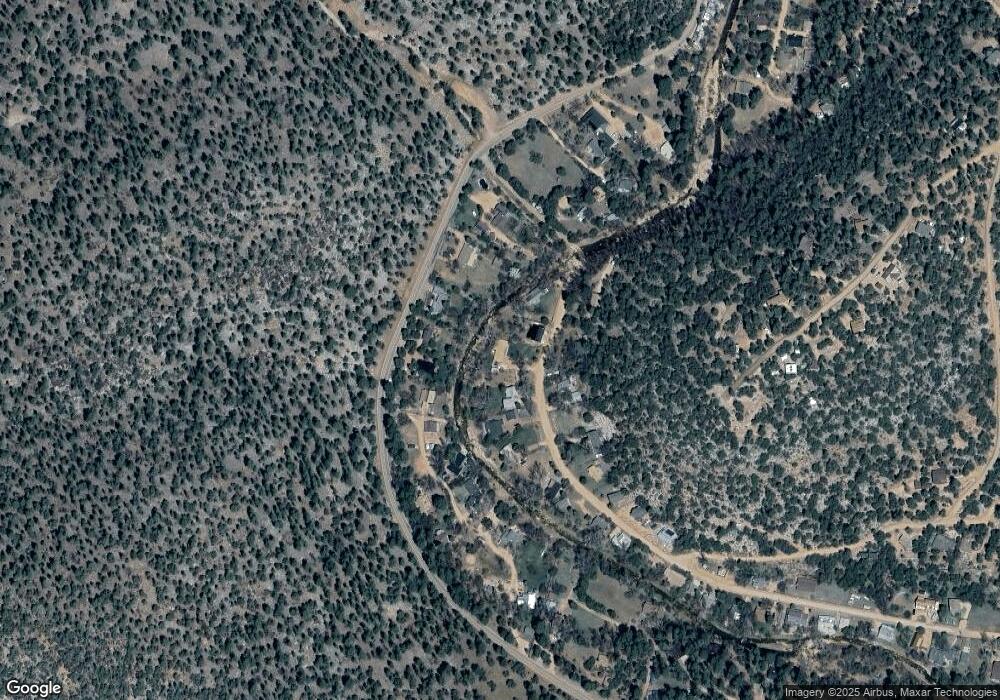
Map
Nearby Homes
- 10755 N Houston Mesa Rd Unit Parcel 1-B
- 424 W Blackberry Ln
- 11180 N Houton Mesa Rd Unit 77
- 11180 N Houston Mesa Rd
- 350 S Canyon Dr
- 616 S Verde Place
- 989 W Verde Rd
- 2472 E 32
- 134 E Belluzzi Blvd
- 167 E Belluzzi Blvd
- 702 S Palomino Dr
- 1040 S Palomino Place
- 41&42 Antelope Trail Rd
- 125 Tomahawk Rd
- 190 E Coues Deer Ln
- 887 W Munsee Dr
- 437 W Elusive Dr
- 1050 W Paint Pony Dr
- 1187 W Paint Pony Dr
- 1285 W Paint Pony Dr
- 641 Scott Dr
- 631 Scott Dr
- 631 W Scott Dr
- 645 W Scott Dr Unit 44
- 645 W Scott Dr
- 132 E Birdie Ln
- 10889 W Houston Mesa Rd
- 627 Scott Dr
- 10905 N Houston Mesa Rd
- 10873 N Houston Mesa Rd
- 642 Scott Dr
- 642 W Scott Dr
- 630 Scott Dr
- 2841 N Apple Ln
- 649 Scott Dr
- 623 Scott Dr
- 623 W Scott Dr
- 2839 N Apple Ln
- 10889 N Houston Mesa Rd
- 10927 N Houston Mesa Rd