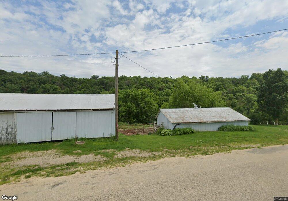
6410 Pikes Peak Rd Lancaster, WI 53813
Estimated Value: $183,582
3
Beds
2
Baths
1,900
Sq Ft
$97/Sq Ft
Est. Value
About This Home
This home is located at 6410 Pikes Peak Rd, Lancaster, WI 53813 and is currently estimated at $183,582, approximately $96 per square foot. 6410 Pikes Peak Rd is a home located in Grant County with nearby schools including Potosi Elementary School, Potosi Middle School, and Potosi High School.
Ownership History
Date
Name
Owned For
Owner Type
Purchase Details
Closed on
Jul 30, 2021
Sold by
Eaglesnest Farm Llc
Bought by
Gildersleeve Thomas A and Acorn Irrevocable Trust
Current Estimated Value
Purchase Details
Closed on
Sep 4, 2019
Sold by
Eaglesnest Farm Llc
Bought by
Engbretson Barbara K
Home Financials for this Owner
Home Financials are based on the most recent Mortgage that was taken out on this home.
Original Mortgage
$185,000
Interest Rate
3.7%
Mortgage Type
Future Advance Clause Open End Mortgage
Create a Home Valuation Report for This Property
The Home Valuation Report is an in-depth analysis detailing your home's value as well as a comparison with similar homes in the area
Home Values in the Area
Average Home Value in this Area
Purchase History
| Date | Buyer | Sale Price | Title Company |
|---|---|---|---|
| Gildersleeve Thomas A | $143,000 | None Available | |
| Engbretson Barbara K | $190,000 | None Available |
Source: Public Records
Mortgage History
| Date | Status | Borrower | Loan Amount |
|---|---|---|---|
| Previous Owner | Engbretson Barbara K | $185,000 |
Source: Public Records
Tax History Compared to Growth
Tax History
| Year | Tax Paid | Tax Assessment Tax Assessment Total Assessment is a certain percentage of the fair market value that is determined by local assessors to be the total taxable value of land and additions on the property. | Land | Improvement |
|---|---|---|---|---|
| 2024 | $2,739 | $206,200 | $27,300 | $178,900 |
| 2023 | $2,133 | $123,100 | $20,600 | $102,500 |
| 2022 | $2,861 | $123,100 | $20,600 | $102,500 |
| 2021 | $2,651 | $123,100 | $20,600 | $102,500 |
| 2020 | $2,360 | $123,300 | $20,800 | $102,500 |
| 2019 | $2,851 | $158,500 | $2,090 | $13,760 |
| 2018 | $2,768 | $158,400 | $20,800 | $137,600 |
| 2017 | $2,981 | $136,300 | $14,400 | $121,900 |
| 2016 | $2,992 | $136,200 | $14,300 | $121,900 |
| 2015 | $2,856 | $136,300 | $14,400 | $121,900 |
| 2014 | $2,826 | $136,300 | $14,400 | $121,900 |
| 2013 | $2,895 | $136,300 | $14,400 | $121,900 |
Source: Public Records
Map
Nearby Homes
- TBD Dutch Hollow Rd
- Xxx Dutch Hollow Rd
- 100 Jentz Dr
- 5664 Dutch Hollow Rd
- 4793 Steiger Rd
- 7469 Grant River Rd
- 4811 Lynn Hollow Ln
- 5561 Oak Ln
- 7773 Porter Hill Rd
- 8626 Whispering Bluffs Ln
- 3928 County Road B
- 4905 Starlight Ln
- 7551 Slabtown Rd
- 1500 S Madison St
- 627 S Madison St
- 843 Sycamore St
- 210 Larch Ct
- 304 S Jackson St
- 217 W Cherry St
- 812 E Walnut St