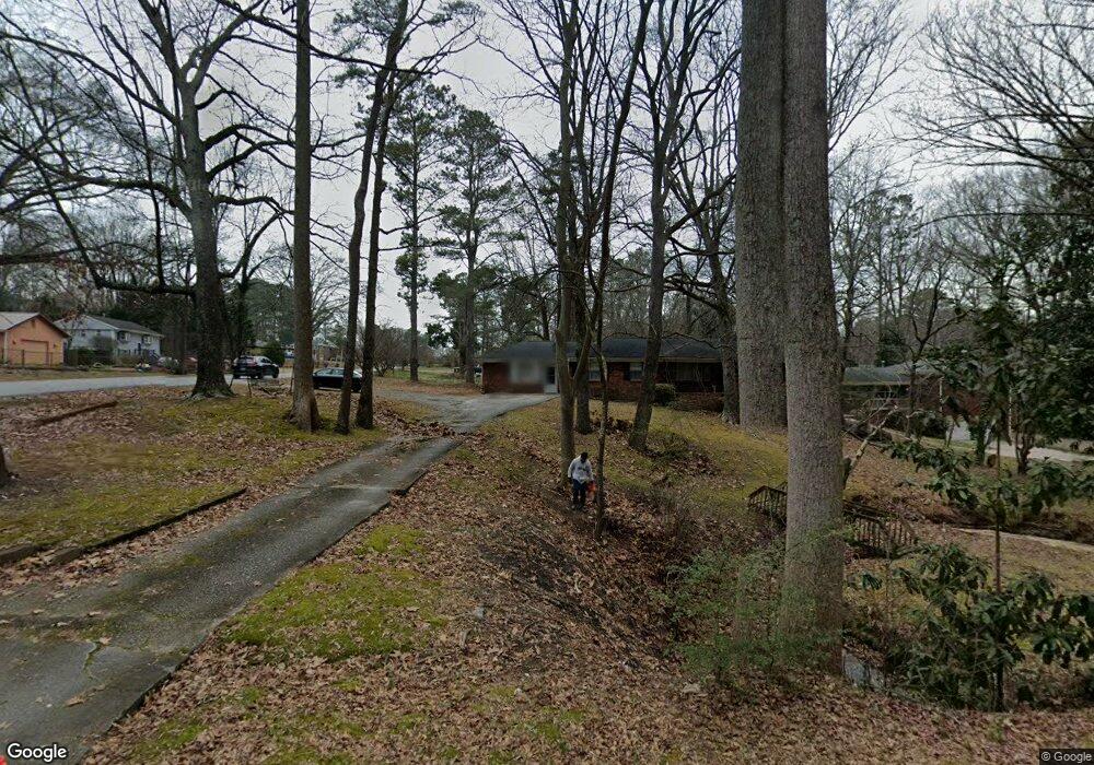
6410 S Gordon Rd Austell, GA 30168
Estimated Value: $259,000 - $312,000
3
Beds
2
Baths
2,000
Sq Ft
$146/Sq Ft
Est. Value
About This Home
This home is located at 6410 S Gordon Rd, Austell, GA 30168 and is currently estimated at $291,465, approximately $145 per square foot. 6410 S Gordon Rd is a home located in Cobb County with nearby schools including Bryant Elementary School, Lindley Middle School, and Pebblebrook High School.
Ownership History
Date
Name
Owned For
Owner Type
Purchase Details
Closed on
Feb 6, 2024
Sold by
Stone Georgia
Bought by
Outlook Communities Llc
Current Estimated Value
Home Financials for this Owner
Home Financials are based on the most recent Mortgage that was taken out on this home.
Original Mortgage
$250,000
Outstanding Balance
$245,336
Interest Rate
6.61%
Mortgage Type
New Conventional
Estimated Equity
$46,129
Purchase Details
Closed on
Dec 23, 2019
Sold by
Stone Larry
Bought by
Stone Larry and Stone Georgia
Purchase Details
Closed on
Dec 21, 1995
Sold by
Mitchell W E Ellen O
Bought by
Stone Larry
Create a Home Valuation Report for This Property
The Home Valuation Report is an in-depth analysis detailing your home's value as well as a comparison with similar homes in the area
Home Values in the Area
Average Home Value in this Area
Purchase History
| Date | Buyer | Sale Price | Title Company |
|---|---|---|---|
| Outlook Communities Llc | $220,000 | None Listed On Document | |
| Stone Larry | -- | -- | |
| Stone Larry | $83,500 | -- |
Source: Public Records
Mortgage History
| Date | Status | Borrower | Loan Amount |
|---|---|---|---|
| Open | Outlook Communities Llc | $250,000 | |
| Closed | Stone Larry | $0 |
Source: Public Records
Tax History
| Year | Tax Paid | Tax Assessment Tax Assessment Total Assessment is a certain percentage of the fair market value that is determined by local assessors to be the total taxable value of land and additions on the property. | Land | Improvement |
|---|---|---|---|---|
| 2025 | $4,896 | $134,000 | $26,000 | $108,000 |
| 2024 | $3,507 | $116,316 | $26,000 | $90,316 |
| 2023 | $389 | $117,112 | $18,000 | $99,112 |
Source: Public Records
Map
Nearby Homes
- 1151 S Gordon Rd
- 1920 Silver Creek Dr Unit 4
- 1972 Cox Dr Unit 5
- 1961 Abbey Province
- 6445 Sherwood Trail
- 6559 Brandemere Way
- 6563 Brandemere Way
- 1784 Brandemere Dr Unit 3
- 6182 Grove Crest Way Unit 3
- 6486 Drake Manor
- 1576 S Gordon Rd
- 6496 Drake Manor
- 6488 Drake Manor
- 6718 Roscommon Dr
- 6595 Malvin Dr
- 6627 Coventry Point
- 1531 Withmoor Terrace
- 1541 Withmoor Terrace
- 6651 Malvin Dr
- 6083 Oak Hill Dr
- 6410 S Gordon Rd SW
- 6400 S Gordon Rd
- 1880 Cox Dr
- 6430 S Gordon Rd
- 6388 S Gordon
- 6464 Wanda Ln
- 1890 Cox Dr Unit 5
- 1701 Cox Dr
- 6440 S Gordon Rd
- 6407 S Gordon Rd
- 6395 S Gordon Rd Unit 2
- 1851 Creveis Rd
- 1891 Cox Dr
- 6463 Wanda Ln
- 6454 Wanda Ln
- 1894 S Gordon Rd
- 1831 Creveis Rd
- 1902 Cox Dr
- 1827 Creveis Rd
- 1872 S Gordon Rd Unit 1
Your Personal Tour Guide
Ask me questions while you tour the home.