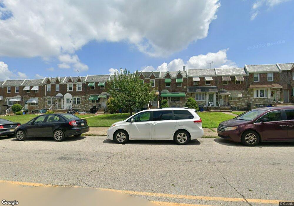
6411 Hawthorne St Philadelphia, PA 19149
Mayfair NeighborhoodEstimated Value: $229,000 - $236,000
3
Beds
1
Bath
1,170
Sq Ft
$199/Sq Ft
Est. Value
About This Home
This home is located at 6411 Hawthorne St, Philadelphia, PA 19149 and is currently estimated at $232,810, approximately $198 per square foot. 6411 Hawthorne St is a home located in Philadelphia County with nearby schools including Lincoln High School, Ethan Allen School, and Keystone Academy Charter School.
Ownership History
Date
Name
Owned For
Owner Type
Purchase Details
Closed on
Sep 11, 2025
Sold by
Meder Lisa and Kimbrel Ginger
Bought by
Kimbrel Ginger
Current Estimated Value
Purchase Details
Closed on
Jun 27, 2016
Sold by
Kimberl Ada Laura
Bought by
Meder Lisa and Kimbrell Ginger
Purchase Details
Closed on
Nov 5, 2001
Sold by
Corini Elsie A and Maniaci Joseph G
Bought by
Kimbrel Ada Laura
Create a Home Valuation Report for This Property
The Home Valuation Report is an in-depth analysis detailing your home's value as well as a comparison with similar homes in the area
Home Values in the Area
Average Home Value in this Area
Purchase History
| Date | Buyer | Sale Price | Title Company |
|---|---|---|---|
| Kimbrel Ginger | -- | None Listed On Document | |
| Meder Lisa | -- | None Available | |
| Kimbrel Ada Laura | $70,000 | -- |
Source: Public Records
Tax History Compared to Growth
Tax History
| Year | Tax Paid | Tax Assessment Tax Assessment Total Assessment is a certain percentage of the fair market value that is determined by local assessors to be the total taxable value of land and additions on the property. | Land | Improvement |
|---|---|---|---|---|
| 2025 | $2,588 | $221,400 | $44,280 | $177,120 |
| 2024 | $2,588 | $221,400 | $44,280 | $177,120 |
| 2023 | $2,588 | $184,900 | $36,980 | $147,920 |
| 2022 | $2,080 | $139,900 | $36,980 | $102,920 |
| 2021 | $2,080 | $0 | $0 | $0 |
| 2020 | $2,080 | $0 | $0 | $0 |
| 2019 | $1,996 | $0 | $0 | $0 |
| 2018 | $1,718 | $0 | $0 | $0 |
| 2017 | $1,718 | $0 | $0 | $0 |
| 2016 | $1,298 | $0 | $0 | $0 |
| 2015 | $1,242 | $0 | $0 | $0 |
| 2014 | -- | $122,700 | $29,354 | $93,346 |
| 2012 | -- | $15,488 | $2,069 | $13,419 |
Source: Public Records
Map
Nearby Homes
- 3153 Barnett St
- 3148 Barnett St
- 3118 Hellerman St
- 3134 Stirling St
- 3111 Gilham St
- 6241 Frankford Ave
- 6239 Frankford Ave
- 2916 Levick St
- 4116 Stirling St
- 3013 Gilham St
- 6524 Battersby St
- 3125 Magee Ave
- 3228 Magee Ave
- 3139 Magee Ave
- 6219 Mulberry St
- 2910 Passmore St
- 2911 Passmore St
- 4016 Gilham St
- 4141 Levick St
- 4112 Gilham St
- 6409 Hawthorne St
- 6413 Hawthorne St
- 6415 Hawthorne St
- 6407 Hawthorne St
- 6405 Hawthorne St
- 6417 Hawthorne St
- 6403 Hawthorne St
- 6419 Hawthorne St
- 6421 Hawthorne St
- 6423 Hawthorne St
- 6425 Hawthorne St
- 3113 Levick St
- 3111 Levick St Unit 1
- 3115 Levick St
- 6427 Hawthorne St
- 3117 Levick St
- 6429 Hawthorne St
- 3119 Levick St
- 6431 Hawthorne St
- 3121 Levick St